Fichier:West Lothian UK location map.svg

Taille de cet aperçu PNG pour ce fichier SVG : 526 × 600 pixels. Autres résolutions : 210 × 240 pixels | 421 × 480 pixels | 674 × 768 pixels | 898 × 1 024 pixels | 1 796 × 2 048 pixels | 1 214 × 1 384 pixels.
Fichier d’origine (Fichier SVG, nominalement de 1 214 × 1 384 pixels, taille : 983 kio)
Ce fichier et sa description proviennent de Wikimedia Commons.
| Description |
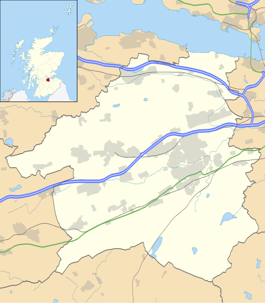
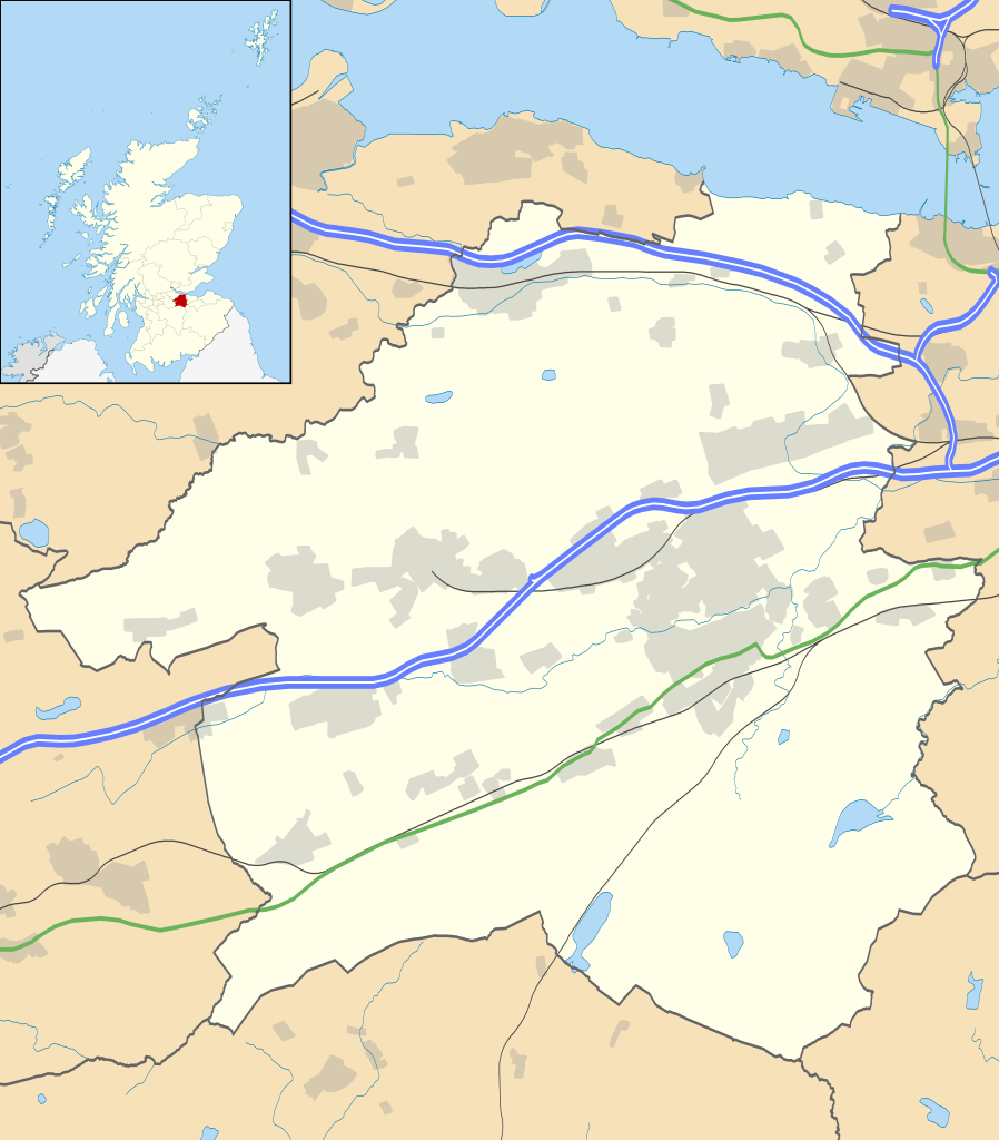
Blank map of West Lothian, UK with the following information shown:
Equirectangular map projection on WGS 84 datum, with N/S stretched 175% Geographic limits:
|
| Date | |
| Source |
|
| Auteur | Nilfanion, created using Ordnance Survey data |
| Autorisation (Réutilisation de ce fichier) |
Ce fichier est disponible selon les termes de la licence Creative Commons Attribution – Partage dans les Mêmes Conditions 3.0 (non transposée). Attribution: Contains Ordnance Survey data © Crown copyright and database right
|
| Autres versions | File:West Lothian UK blank map.svg - Blank map |
Historique du fichier
Cliquer sur une date et heure pour voir le fichier tel qu'il était à ce moment-là.
| Date et heure | Vignette | Dimensions | Utilisateur | Commentaire | |
|---|---|---|---|---|---|
| actuel | 26 septembre 2010 à 22:26 | | 1 214 × 1 384 (983 kio) | Nilfanion | {{Information |Description=Blank map of West Lothian, UK with the following information shown: *Administrative borders *Coastline, lakes and rivers *Roads and railways *Urban areas Equirectangular map projection on WGS 84 datum, with N |
Utilisation du fichier
Les 10 pages suivantes utilisent ce fichier :
Usage global du fichier
Les autres wikis suivants utilisent ce fichier :
- Utilisation sur ar.wikipedia.org
- Utilisation sur bg.wikipedia.org
- Utilisation sur ceb.wikipedia.org
- Utilisation sur de.wikipedia.org
- Utilisation sur en.wikipedia.org
- List of monastic houses in Scotland
- West Lothian
- Livingston, West Lothian
- Broxburn
- Uphall
- Pumpherston
- Cairnpapple Hill
- Bathgate
- Almondvale Stadium
- Blackburn, West Lothian
- Hopetoun House
- Abercorn
- Whitburn, West Lothian
- Fauldhouse
- Livingston Village
- Addiewell
- Harthill, Scotland
- Armadale, West Lothian
- Seafield, West Lothian
- Winchburgh
- Mid Calder
- Stoneyburn
- Scottish Junior Football East Region Premier League South
- West Calder
- Linlithgow
- Castle Greg
- Philpstoun
- Deans, West Lothian
- Uphall Station
- Torphichen
- Dechmont
- Polbeth
- East Calder
- Kirknewton, West Lothian
- Blackridge, West Lothian
- Breich
- Bangour Village Hospital
- Westfield, West Lothian
- Bellsquarry
- Bathville
- Boghall
- Burnwynd
- Kingscavil
- Ecclesmachan
- Craigshill
Voir davantage sur l’utilisation globale de ce fichier.