Fichier:Wappapello Lake Missouri.jpg

Taille de cet aperçu : 800 × 533 pixels. Autres résolutions : 320 × 213 pixels | 640 × 427 pixels | 1 024 × 683 pixels | 1 500 × 1 000 pixels.
Fichier d’origine (1 500 × 1 000 pixels, taille du fichier : 520 kio, type MIME : image/jpeg)
Ce fichier et sa description proviennent de Wikimedia Commons.
| Description |
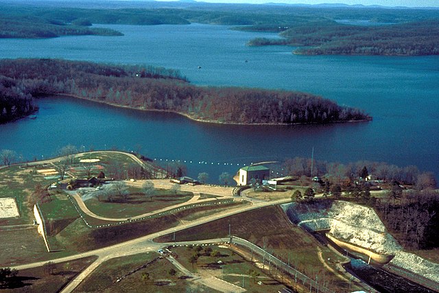
English: Wappapello Lake, near Wappapello, Missouri, USA. The lake is impounded behind Wappapello Dam, of which only the spillway is shown in this photograph. |
|||
| Date | not specified or unknown | |||
| Source |
U.S. Army Corps of Engineers Digital Visual Library Image page Image description page Digital Visual Library home page |
|||
| Auteur | U.S. Army Corps of Engineers, photographer not specified or unknown | |||
| Autorisation (Réutilisation de ce fichier) |
|
|||
| Lieu | Wappapello, Wayne County, Missouri, USA |
| Lieu de la prise de vue | | Voir cet endroit et d’autres images sur : OpenStreetMap |
|---|
Historique du fichier
Cliquer sur une date et heure pour voir le fichier tel qu'il était à ce moment-là.
| Date et heure | Vignette | Dimensions | Utilisateur | Commentaire | |
|---|---|---|---|---|---|
| actuel | 5 avril 2007 à 04:57 | | 1 500 × 1 000 (520 kio) | DanMS | {{Information | Description = {{en|Wappapello Lake, near Wappapello, Missouri, USA. The lake is impounded behind Wappapello Dam, of which only the spillway is shown in this photograph.}} | Source = U.S. Army Corps of Engineers Digital Visual Li |
Utilisation du fichier
La page suivante utilise ce fichier :
Usage global du fichier
Les autres wikis suivants utilisent ce fichier :
- Utilisation sur ar.wikipedia.org
- Utilisation sur azb.wikipedia.org
- Utilisation sur ceb.wikipedia.org
- Utilisation sur de.wikipedia.org
- Utilisation sur en.wikipedia.org
- Utilisation sur fa.wikipedia.org
- Utilisation sur ja.wikipedia.org
- Utilisation sur www.wikidata.org
- Utilisation sur zh.wikipedia.org