Fichier:Wales Bridgend locator map.svg

Taille de cet aperçu PNG pour ce fichier SVG : 502 × 600 pixels. Autres résolutions : 201 × 240 pixels | 402 × 480 pixels | 643 × 768 pixels | 857 × 1 024 pixels | 1 714 × 2 048 pixels | 1 047 × 1 251 pixels.
Fichier d’origine (Fichier SVG, nominalement de 1 047 × 1 251 pixels, taille : 146 kio)
Ce fichier et sa description proviennent de Wikimedia Commons.
Description
| Description |
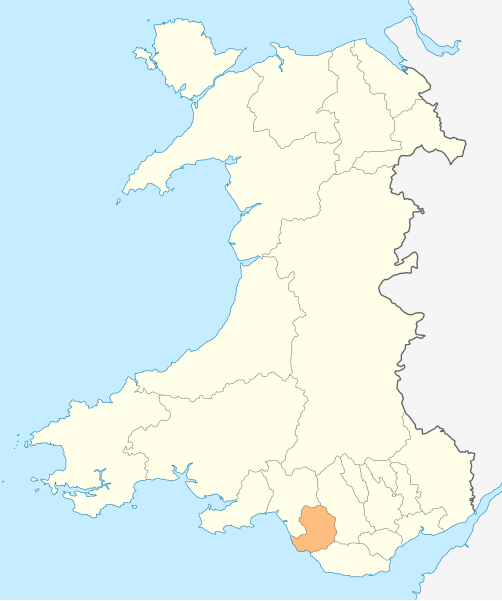
Deutsch: Lagekarte von Bridgend in Wales
English: Locator map of Bridgend in Wales |
| Date | |
| Source | Travail personnel |
| Auteur | NordNordWest |
| Autorisation (Réutilisation de ce fichier) |
Moi, en tant que détenteur des droits d’auteur sur cette œuvre, je la publie sous la licence suivante : Ce fichier est disponible selon les termes de la licence Creative Commons Attribution – Partage dans les Mêmes Conditions 3.0 (non transposée).
|

|
Cette carte a été créée ou améliorée dans le Kartenwerkstatt (Atelier cartographique allemand). Vous pouvez également y proposer des cartes à améliorer.
|
Historique du fichier
Cliquer sur une date et heure pour voir le fichier tel qu'il était à ce moment-là.
| Date et heure | Vignette | Dimensions | Utilisateur | Commentaire | |
|---|---|---|---|---|---|
| actuel | 4 mai 2010 à 20:47 | | 1 047 × 1 251 (146 kio) | NordNordWest | {{int:filedesc}} {{Information |Description= {{de|Lagekarte von Bridgend in Wales}} {{en|Locator map of Bridgend in Wales}} |Source={{Own}} |Date=2010-05-04 |Author={{U|NordNordWest}} |Permission={{self|cc-by-sa-3.0}} |other_versions= }} {{Kartenwerkstat |
Utilisation du fichier
Aucune page n’utilise ce fichier.
Usage global du fichier
Les autres wikis suivants utilisent ce fichier :
- Utilisation sur en.wikipedia.org
- Ewenny Priory
- Bridgend
- Porthcawl
- Maesteg
- Bridgend County Borough
- Pencoed
- Kenfig
- Ogwr
- Ogmore Castle
- Llangynwyd
- Tondu
- Merthyr Mawr
- Brackla
- Candleston Castle
- Nottage
- List of places in Bridgend County Borough
- Heol-y-Cyw
- Pyle
- Aberkenfig
- Coity Castle
- Pontycymer
- Blaengarw
- Coychurch
- Bridgend Industrial Estate
- Template:Bridgend-geo-stub
- Newton, Porthcawl
- Cefn Glas
- Tir Iarll
- Bridgend County Borough Council
- Sarn, Bridgend
- Ogmore Vale
- Bettws, Bridgend
- Bryncethin
- Pen-y-fai, Bridgend
- Ewenny River
- Llampha
- Cornelly
- Nant-y-moel
- Cwmfelin
- North Cornelly
- Caerau, Bridgend
- Llangeinor
- Brynmenyn
- Template:Bridgend
- Kenfig Castle
- South Cornelly
- Cefn Cribwr
- Garw Valley
- Newcastle Castle, Bridgend
- Blackmill
Voir davantage sur l’utilisation globale de ce fichier.