Fichier:Volgograd location map.svg

Taille de cet aperçu PNG pour ce fichier SVG : 713 × 600 pixels. Autres résolutions : 285 × 240 pixels | 571 × 480 pixels | 913 × 768 pixels | 1 217 × 1 024 pixels | 2 434 × 2 048 pixels | 2 023 × 1 702 pixels.
Fichier d’origine (Fichier SVG, nominalement de 2 023 × 1 702 pixels, taille : 21,23 Mio)
Ce fichier et sa description proviennent de Wikimedia Commons.
Description
| Description |
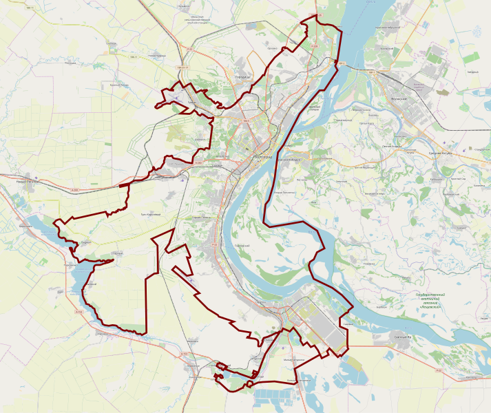
English: OpenStreetMap location map of Volgograd, Russia
|
| Date | |
| Source | OpenStreetMap |
| Auteur | OpenStreetMap contributors |
Conditions d’utilisation
| Ce travail contient des informations issues de OpenStreetMap mises à disposition sous les termes de la Licence Open Database (ODbL).
L'ODbL n'exige aucune licence en particulier pour les cartes produites à partir de données placées sous l'ODbL. Avant le 1er août 2020, les tuiles des cartes produites par la Fondation OpenStreetMap étaient placées sous la licence CC-BY-SA-2.0. Les cartes produites par d'autres personnes peuvent être placées sous des licences différentes. |
Historique du fichier
Cliquer sur une date et heure pour voir le fichier tel qu'il était à ce moment-là.
| Date et heure | Vignette | Dimensions | Utilisateur | Commentaire | |
|---|---|---|---|---|---|
| actuel | 8 janvier 2020 à 22:47 | | 2 023 × 1 702 (21,23 Mio) | Szczecinolog | User created page with UploadWizard |
Utilisation du fichier
La page suivante utilise ce fichier :
Usage global du fichier
Les autres wikis suivants utilisent ce fichier :
- Utilisation sur fy.wikipedia.org
- Utilisation sur pl.wikipedia.org
- Kurhan Mamaja
- Wołgograd (stacja kolejowa)
- Dom Pawłowa
- Fontanna Barmalej
- Matka Ojczyzna Wzywa!
- Port lotniczy Wołgograd
- Eparchia wołgogradzka
- Stadion Centralny w Wołgogradzie
- Most Wołgogradzki
- Kaczyńska Wojskowa Wyższa Szkoła Lotnicza Pilotów
- Metropolia wołgogradzka
- Zamach w autobusie w Wołgogradzie (2013)
- Zamachy w Wołgogradzie (grudzień 2013)
- Pomnik Wiktora Cholzunowa w Wołgogradzie
- Parafia św. Mikołaja w Wołgogradzie
- Moduł:Mapa/dane/Wołgograd
- Utilisation sur pl.wikibooks.org