Fichier:US map-Deep South.png
Pas de plus haute résolution disponible.
US_map-Deep_South.png (566 × 365 pixels, taille du fichier : 6 kio, type MIME : image/png)
Ce fichier et sa description proviennent de Wikimedia Commons.
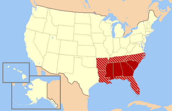
| Description | The maps series from the English wikipedia's Wikiproject: United States regions. The maps attempt to show, the various definitions of the regions without endorsing one over another. |
| Date | 2004—2006 |
| Source | WikiProject: United States regions |
| Auteur | various, edited by Jay Carriker |
| Autorisation (Réutilisation de ce fichier) |
GFDL content from English Wikipedia |
| Ce fichier est disponible selon les termes de la licence Creative Commons Attribution – Partage dans les Mêmes Conditions 3.0 (non transposée). Sujet aux avertissements. | ||
| ||
| Ce bandeau de licence a été ajouté à ce fichier dans le cadre de la procédure de mise à jour des licences des images sous GFDL. |

|
Vous avez la permission de copier, distribuer et modifier ce document selon les termes de la GNU Free Documentation License version 1.2 ou toute version ultérieure publiée par la Free Software Foundation, sans sections inaltérables, sans texte de première page de couverture et sans texte de dernière page de couverture. Un exemplaire de la licence est inclus dans la section intitulée GNU Free Documentation License. Sujet aux avertissements. |
Historique du fichier
Cliquer sur une date et heure pour voir le fichier tel qu'il était à ce moment-là.
| Date et heure | Vignette | Dimensions | Utilisateur | Commentaire | |
|---|---|---|---|---|---|
| actuel | 31 mars 2011 à 14:53 | | 566 × 365 (6 kio) | Ras67 | cropped |
| 17 décembre 2006 à 22:34 |  | 572 × 371 (16 kio) | JCarriker~commonswiki | {{Information |Description=The maps series from the English wikipedia's Wikiproject: United States regions. The maps attempt to show, the various definitions of the regions without endorsing one over another. |Source=[[en.WikiProject: United States regio |
Utilisation du fichier
Aucune page n’utilise ce fichier.
Usage global du fichier
Les autres wikis suivants utilisent ce fichier :
- Utilisation sur ca.wikipedia.org
- Utilisation sur en.wikipedia.org
- Utilisation sur es.wikipedia.org
- Utilisation sur eu.wikipedia.org
- Utilisation sur gl.wikipedia.org
- Utilisation sur it.wikipedia.org
- Utilisation sur ja.wikipedia.org
- Utilisation sur pl.wikipedia.org
- Utilisation sur pl.wikivoyage.org
- Utilisation sur sk.wikipedia.org
- Utilisation sur sv.wikipedia.org