Fichier:Topographic map of Ukraine (with borders and towns).svg

Taille de cet aperçu PNG pour ce fichier SVG : 800 × 529 pixels. Autres résolutions : 320 × 212 pixels | 640 × 424 pixels | 1 024 × 678 pixels | 1 280 × 847 pixels | 2 560 × 1 694 pixels | 1 449 × 959 pixels.
Fichier d’origine (Fichier SVG, nominalement de 1 449 × 959 pixels, taille : 7,28 Mio)
Ce fichier et sa description proviennent de Wikimedia Commons.
.svg?uselang=fr)
Description
| Description |
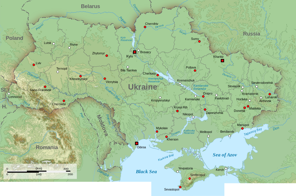
English: Topographic map of Ukraine (with borders and towns)
Sl.: Slovakia H.: |
| Date | |
| Source | Travail personnel |
| Auteur | Amitchell125 (File:Topographic_map_of_Ukraine.svg with borders and towns added using https://commons.wikimedia.org/wiki/File:Map_of_Ukraine_with_Cities.png) |
| Autorisation (Réutilisation de ce fichier) |
Moi, en tant que détenteur des droits d’auteur sur cette œuvre, je la publie sous la licence suivante : Ce fichier est sous la licence Creative Commons Attribution – Partage dans les Mêmes Conditions 4.0 International.
|
| Annotations | Cette image est annotée : Voir les annotations sur Wikimedia Commons |
.svg)
- ↑ https://www.nbcnews.com/storyline/ukraine-crisis/beyond-crimea-places-russia-experts-say-you-should-watch-next-n57691 Beyond Crimea: The Places Russia Experts Say You Should Watch Next
- ↑ https://www.nbcnews.com/storyline/ukraine-crisis/beyond-crimea-places-russia-experts-say-you-should-watch-next-n57691 Beyond Crimea: The Places Russia Experts Say You Should Watch Next
Historique du fichier
Cliquer sur une date et heure pour voir le fichier tel qu'il était à ce moment-là.
| Date et heure | Vignette | Dimensions | Utilisateur | Commentaire | |
|---|---|---|---|---|---|
| actuel | 3 avril 2024 à 19:28 | | 1 449 × 959 (7,28 Mio) | Vanyka-slovanyka | File uploaded using svgtranslate tool (https://svgtranslate.toolforge.org/). Added translation for ru. |
| 3 avril 2024 à 19:19 |  | 1 449 × 959 (7,23 Mio) | Vanyka-slovanyka | better spacing ang alignment | |
| 3 avril 2024 à 19:10 |  | 1 449 × 959 (7,28 Mio) | Vanyka-slovanyka | File uploaded using svgtranslate tool (https://svgtranslate.toolforge.org/). Added translation for ru. | |
| 3 avril 2024 à 18:54 |  | 1 449 × 959 (7,23 Mio) | Vanyka-slovanyka | Chernihiv recolored, typos fixed, nested tspan fixed | |
| 8 décembre 2023 à 21:10 |  | 1 449 × 959 (7,23 Mio) | Amitchell125 | amendments to bottom of map | |
| 8 décembre 2023 à 20:44 |  | 1 449 × 959 (7,23 Mio) | Amitchell125 | superfluous key removed | |
| 24 septembre 2023 à 22:47 |  | 1 449 × 959 (7,25 Mio) | Mzajac | deleted outdated delineation of Russian occupation: doesn’t belong to topography anyway | |
| 2 avril 2022 à 14:41 |  | 1 449 × 959 (7,28 Mio) | Amitchell125 | Uploaded own work with UploadWizard |
Utilisation du fichier
La page suivante utilise ce fichier :
Usage global du fichier
Les autres wikis suivants utilisent ce fichier :
- Utilisation sur en.wikipedia.org
- Utilisation sur kk.wikipedia.org
- Utilisation sur mn.wikipedia.org
- Utilisation sur ru.wikipedia.org
- Utilisation sur sk.wikipedia.org
- Utilisation sur srn.wikipedia.org
- Utilisation sur zh.wikipedia.org
.svg)