Fichier:The Ship Keyingham.jpg
The_Ship_Keyingham.jpg (640 × 474 pixels, taille du fichier : 81 kio, type MIME : image/jpeg)
Ce fichier et sa description proviennent de Wikimedia Commons.
Description
| Description |
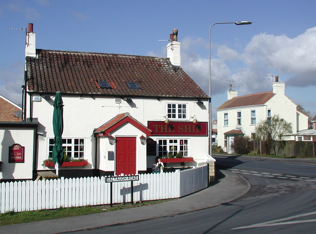
English: The Ship, Keyingham, East Riding of Yorkshire, England. This unassumingly named pub on the corner of Saltaugh Road and Main Street gets its title from one fleeting moment when the village of Keyingham was of some interest to historians.
|
| Date | |
| Source | From geograph.org.uk |
| Auteur | Paul Glazzard |
| Autorisation (Réutilisation de ce fichier) |
Creative Commons Attribution Share-alike license 2.0 |
| Attribution (imposé par la licence) | Paul Glazzard / The Ship, Keyingham / |
| Lieu de la prise de vue | | Voir cet endroit et d’autres images sur : OpenStreetMap |
|---|
Conditions d’utilisation

|
Cette image provient de la collection du projet Geograph British Isles. Pour obtenir les coordonnées du photographe, veuillez consulter cette page de description de l'image sur le site du projet. Les droits d'auteurs sur cette image sont détenus par Paul Glazzard ; l'image est placée sous une licence Creative Commons avec mention de paternité et partage à l'identique (CC-By-SA) en version 2.0.
|
- Vous êtes libre :
- de partager – de copier, distribuer et transmettre cette œuvre
- d’adapter – de modifier cette œuvre
- Sous les conditions suivantes :
- paternité – Vous devez donner les informations appropriées concernant l'auteur, fournir un lien vers la licence et indiquer si des modifications ont été faites. Vous pouvez faire cela par tout moyen raisonnable, mais en aucune façon suggérant que l’auteur vous soutient ou approuve l’utilisation que vous en faites.
- partage à l’identique – Si vous modifiez, transformez, ou vous basez sur cette œuvre, vous devez distribuer votre contribution sous la même licence ou une licence compatible avec celle de l’original.
Historique du fichier
Cliquer sur une date et heure pour voir le fichier tel qu'il était à ce moment-là.
| Date et heure | Vignette | Dimensions | Utilisateur | Commentaire | |
|---|---|---|---|---|---|
| actuel | 10 février 2010 à 21:35 | | 640 × 474 (81 kio) | Keith D | == {{int:filedesc}} == {{Information |Description={{en|1=The Ship, Keyingham, East Riding of Yorkshire.<br />This unassumingly named pub on the corner of Saltaugh Road and Main Street gets its title from |
Utilisation du fichier
La page suivante utilise ce fichier :
Usage global du fichier
Les autres wikis suivants utilisent ce fichier :
- Utilisation sur ang.wikipedia.org
- Utilisation sur ceb.wikipedia.org
- Utilisation sur en.wikipedia.org
- Utilisation sur es.wikipedia.org
- Utilisation sur lld.wikipedia.org
- Utilisation sur pl.wikipedia.org
- Utilisation sur sv.wikipedia.org
- Utilisation sur www.wikidata.org