Fichier:Somaliland Physical map with National and Administrative boundaries.svg

Taille de cet aperçu PNG pour ce fichier SVG : 651 × 407 pixels. Autres résolutions : 320 × 200 pixels | 640 × 400 pixels | 1 024 × 640 pixels | 1 280 × 800 pixels | 2 560 × 1 600 pixels.
Fichier d’origine (Fichier SVG, nominalement de 651 × 407 pixels, taille : 2,49 Mio)
Ce fichier et sa description proviennent de Wikimedia Commons.
Description
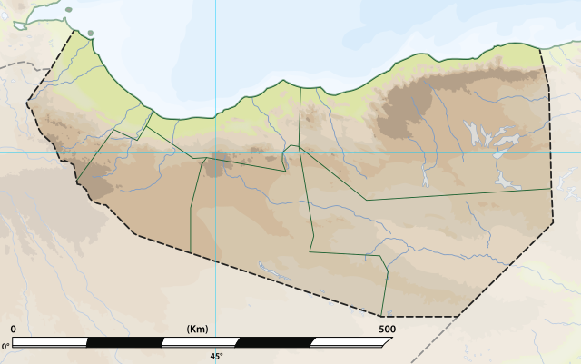
| Description | Somaliland: Physical map with National and Administrative boundaries.svg |
| Date | |
| Source | File:Somaliland relief location map.jpg |
| Auteur | MacMoreno |
Conditions d’utilisation
Ce fichier est sous la licence Creative Commons Attribution – Partage dans les Mêmes Conditions 4.0 International.
- Vous êtes libre :
- de partager – de copier, distribuer et transmettre cette œuvre
- d’adapter – de modifier cette œuvre
- Sous les conditions suivantes :
- paternité – Vous devez donner les informations appropriées concernant l'auteur, fournir un lien vers la licence et indiquer si des modifications ont été faites. Vous pouvez faire cela par tout moyen raisonnable, mais en aucune façon suggérant que l’auteur vous soutient ou approuve l’utilisation que vous en faites.
- partage à l’identique – Si vous modifiez, transformez, ou vous basez sur cette œuvre, vous devez distribuer votre contribution sous la même licence ou une licence compatible avec celle de l’original.
Historique du fichier
Cliquer sur une date et heure pour voir le fichier tel qu'il était à ce moment-là.
| Date et heure | Vignette | Dimensions | Utilisateur | Commentaire | |
|---|---|---|---|---|---|
| actuel | 27 juin 2021 à 11:18 | | 651 × 407 (2,49 Mio) | MacMoreno | Updade image size |
| 27 juin 2021 à 01:14 |  | 866 × 538 (2,78 Mio) | Siirski | Update file size | |
| 27 juin 2021 à 00:30 |  | 510 × 283 (3,25 Mio) | Siirski | Reverted to version as of 20:45, 26 June 2021 (UTC) | |
| 27 juin 2021 à 00:29 |  | 866 × 538 (2,82 Mio) | Siirski | Update file size | |
| 26 juin 2021 à 22:45 |  | 510 × 283 (3,25 Mio) | MacMoreno | Update with distance measurements in kilometers | |
| 26 juin 2021 à 18:25 |  | 510 × 283 (3,24 Mio) | MacMoreno | == {{int:filedesc}} == {{Information |Description= Somaliland: Physical map with National and Administrative boundaries.svg |Source= https://commons.wikimedia.org/wiki/File:Somaliland.png |Date= 26-06-2021 |Author= MacMoreno |Permission= |other_versions= }} |
Utilisation du fichier
Aucune page n’utilise ce fichier.
Usage global du fichier
Les autres wikis suivants utilisent ce fichier :
- Utilisation sur de.wikipedia.org
- Utilisation sur el.wikipedia.org
- Utilisation sur en.wikipedia.org
- Utilisation sur fa.wikipedia.org
- Utilisation sur id.wikipedia.org
- Utilisation sur it.wikipedia.org
- Utilisation sur no.wikipedia.org
- Utilisation sur os.wikipedia.org
- Utilisation sur pl.wikipedia.org
- Utilisation sur si.wikipedia.org
- Utilisation sur uz.wikipedia.org