Fichier:Shropshire UK location map.svg

Taille de cet aperçu PNG pour ce fichier SVG : 550 × 599 pixels. Autres résolutions : 220 × 240 pixels | 441 × 480 pixels | 705 × 768 pixels | 940 × 1 024 pixels | 1 880 × 2 048 pixels | 1 198 × 1 305 pixels.
Fichier d’origine (Fichier SVG, nominalement de 1 198 × 1 305 pixels, taille : 2,13 Mio)
Ce fichier et sa description proviennent de Wikimedia Commons.
| Description |
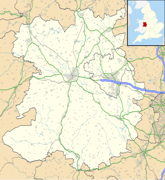
Map of Shropshire, UK with the following information shown:
Equirectangular map projection on WGS 84 datum, with N/S stretched 165% Geographic limits:
|
| Date | |
| Source |
|
| Auteur | Nilfanion, created using Ordnance Survey data |
| Autorisation (Réutilisation de ce fichier) |
Ce fichier est disponible selon les termes de la licence Creative Commons Attribution – Partage dans les Mêmes Conditions 3.0 (non transposée). Attribution: Contains Ordnance Survey data © Crown copyright and database right
|
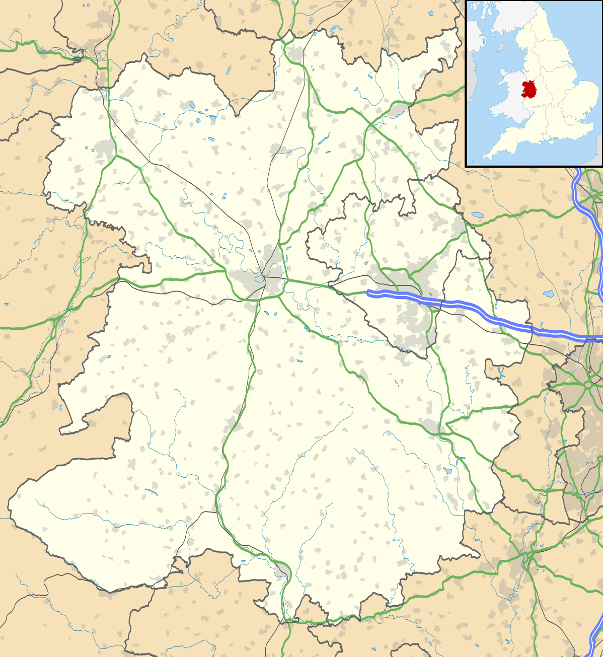
| Autres versions | File:Shropshire UK district map (blank).svg - Blank map |
.svg)
Historique du fichier
Cliquer sur une date et heure pour voir le fichier tel qu'il était à ce moment-là.
| Date et heure | Vignette | Dimensions | Utilisateur | Commentaire | |
|---|---|---|---|---|---|
| actuel | 16 octobre 2010 à 21:51 | | 1 198 × 1 305 (2,13 Mio) | Nilfanion | fix to A442 |
| 26 septembre 2010 à 21:11 |  | 1 198 × 1 305 (2,12 Mio) | Nilfanion | {{Information |Description=Map of Shropshire, UK with the following information shown: *Administrative borders *Coastline, lakes and rivers *Roads and railways *Urban areas Equirectangular map projection on WGS 84 datum, with N/S stretch |
Utilisation du fichier
Les 8 pages suivantes utilisent ce fichier :
Usage global du fichier
Les autres wikis suivants utilisent ce fichier :
- Utilisation sur ar.wikipedia.org
- Utilisation sur azb.wikipedia.org
- Utilisation sur bg.wikipedia.org
- Utilisation sur ceb.wikipedia.org
- Utilisation sur cy.wikipedia.org
- Utilisation sur en.wikipedia.org
- Ludlow
- Ironbridge
- Stokesay Castle
- Telford
- Ludlow Castle
- Church Stretton
- Newport, Shropshire
- Oswestry
- Old Oswestry
- Whitchurch, Shropshire
- Market Drayton
- Bishop's Castle
- Bridgnorth
- Ellesmere, Shropshire
- Alveley
- Baschurch
- Woore
- Ruyton-XI-Towns
- Viroconium Cornoviorum
- Sheriffhales
- Weston Lullingfields
- Wroxeter
- Hampton Loade
- Clun
- Coalbrookdale
- Atcham
- Clun Castle
- Shawbury
- Shrewsbury Castle
- Attingham Park
- Wellington, Shropshire
- Oakengates
- Donnington, Telford
- Wem
- RAF Shawbury
- Much Wenlock
- Hopton Heath
- Sundorne
- Harlescott
- Ditherington
- Nesscliffe
- Cleobury Mortimer
- Hay Inclined Plane
- Snailbeach
- Pontesbury
Voir davantage sur l’utilisation globale de ce fichier.