Fichier:Punjab (Pakistan) Districts.svg

Taille de cet aperçu PNG pour ce fichier SVG : 505 × 599 pixels. Autres résolutions : 202 × 240 pixels | 405 × 480 pixels | 647 × 768 pixels | 863 × 1 024 pixels | 1 726 × 2 048 pixels | 843 × 1 000 pixels.
Fichier d’origine (Fichier SVG, nominalement de 843 × 1 000 pixels, taille : 67 kio)
Ce fichier et sa description proviennent de Wikimedia Commons.
_Districts.svg?uselang=fr)
Description
| Description |
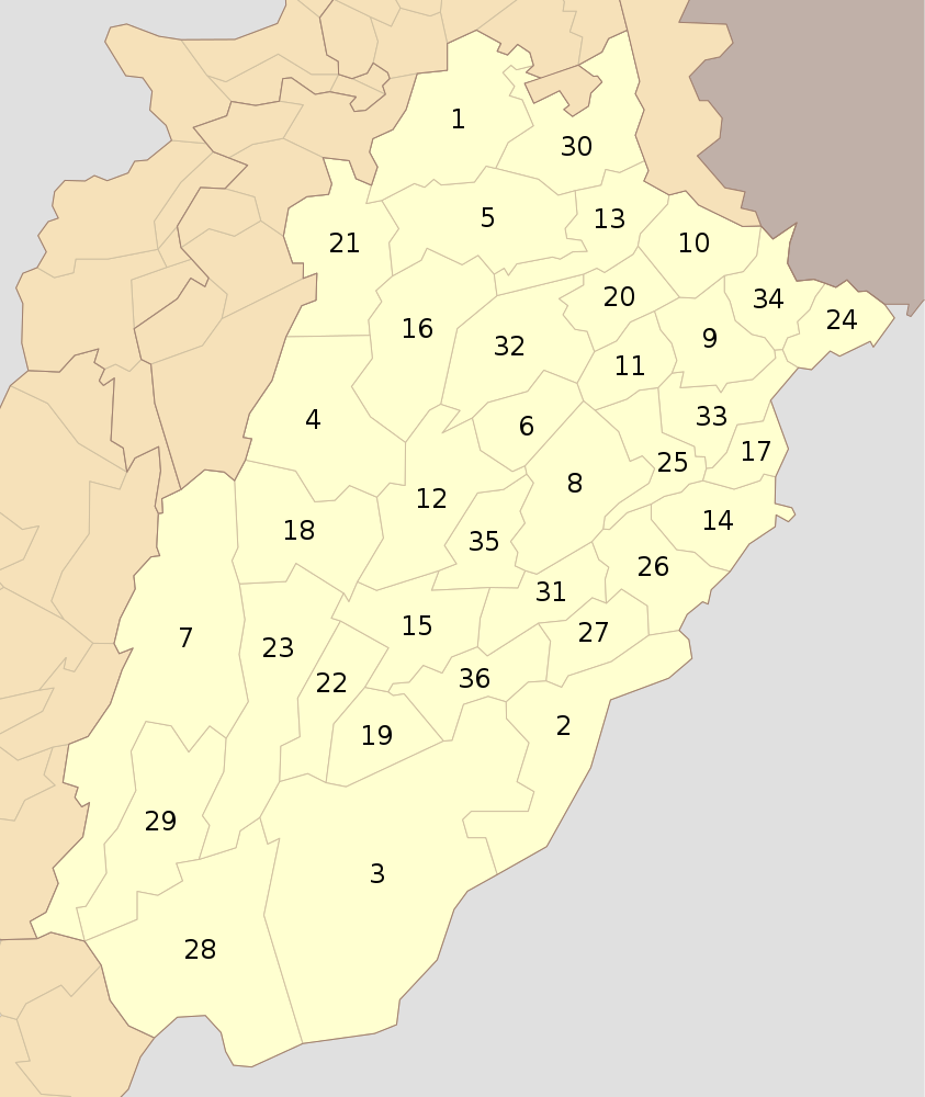
English: Districts of Punjab (Pakistan) as of Oct 2010 |
| Date | |
| Source | Travail personnel |
| Auteur | Schajee |
| SVG information |
Conditions d’utilisation
| Moi, propriétaire des droits d’auteur sur cette œuvre, la place dans le domaine public. Ceci s'applique dans le monde entier. Dans certains pays, ceci peut ne pas être possible ; dans ce cas : J’accorde à toute personne le droit d’utiliser cette œuvre dans n’importe quel but, sans aucune condition, sauf celles requises par la loi. |
Historique du fichier
Cliquer sur une date et heure pour voir le fichier tel qu'il était à ce moment-là.
| Date et heure | Vignette | Dimensions | Utilisateur | Commentaire | |
|---|---|---|---|---|---|
| actuel | 31 juillet 2016 à 16:04 | | 843 × 1 000 (67 kio) | Furfur | enlarged the numbers, such that they can be read in the preview |
| 10 octobre 2010 à 23:37 |  | 843 × 1 000 (73 kio) | Schajee | {{Information |Description={{en|1=Districts of Punjab (Pakistan) as of Oct 2010}} |Source={{own}} |Author=Schajee |Date= |Permission= |other_versions= }} Category:Maps of Pakistan Category:Maps of Punjab |
Utilisation du fichier
Les 2 pages suivantes utilisent ce fichier :
Usage global du fichier
Les autres wikis suivants utilisent ce fichier :
- Utilisation sur be-tarask.wikipedia.org
- Utilisation sur bn.wikipedia.org
- ব্যবহারকারী:Meghmollar2017/খেলাঘর/পাকিস্তানের জেলা
- লাহোর জেলা
- মিয়ানওয়ালী জেলা
- বাহাওয়ালনগর জেলা
- টেমপ্লেট:পাঞ্জাবের জেলা (পাকিস্তান)
- বাহাওয়ালপুর জেলা
- রহিম ইয়ার খান জেলা
- ডেরা গাজী খান জেলা
- লেয়াহ জেলা
- মুজাফফারগড় জেলা
- রাজনপুর জেলা
- চিনিওট জেলা
- ফয়সালাবাদ জেলা
- ঝং জেলা
- টোবা টেক সিং জেলা
- গুজরানওয়ালা জেলা
- গুজরাত জেলা
- হাফিজাবাদ জেলা
- মান্দি বাহাউদ্দিন জেলা
- নারোওয়াল জেলা
- শিয়ালকোট জেলা
- কসুর জেলা
- খানেওয়াল জেলা
- লোধরান জেলা
- মুলতান জেলা
- বিহারি জেলা
- এটক জেলা
- চকওয়াল জেলা
- ঝিলাম জেলা
- রাওয়ালপিন্ডি জেলা
- ভাক্কার জেলা
- খুশব জেলা
- সারগোদা জেলা
- সাহিওয়াল জেলা
- ওকারা জেলা
- পাকপাতান জেলা
- শেইখুপুরা জেলা
- নানকানা সাহিব জেলা
- Utilisation sur de.wikipedia.org
- Utilisation sur en.wikipedia.org
- Utilisation sur en.wikivoyage.org
- Utilisation sur fa.wikipedia.org
Voir davantage sur l’utilisation globale de ce fichier.
_Districts.svg)
_Districts.svg)