Fichier:Position of Northland.png
Pas de plus haute résolution disponible.
Position_of_Northland.png (405 × 590 pixels, taille du fichier : 7 kio, type MIME : image/png)
Ce fichier et sa description proviennent de Wikimedia Commons.

|
Cette image (de type locator map) devrait être recréée dans un format vectoriel, en tant que fichier SVG. Cela offrirait plusieurs avantages : voir Commons:Media for cleanup pour plus d'informations. Si une version SVG de cette image est déjà disponible, merci de bien vouloir l'envoyer. Après cela, remplacez ce modèle par {{vector version available|nouveau nom d'image.svg}}.
|
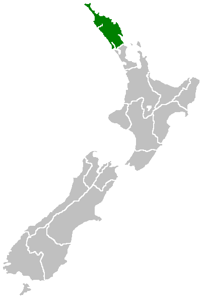
English: Region of New Zealand, position on the map (source:English Wiki)
| |
Cette image a été (ou est ici-même) mise à disposition dans le domaine public par son auteur, Furius dans le projet Wikimedia Commons. Ceci s'applique partout dans le monde. Au cas où cela n'est pas possible légalement : |
Historique du fichier
Cliquer sur une date et heure pour voir le fichier tel qu'il était à ce moment-là.
| Date et heure | Vignette | Dimensions | Utilisateur | Commentaire | |
|---|---|---|---|---|---|
| actuel | 27 avril 2005 à 09:40 | | 405 × 590 (7 kio) | Domie~commonswiki | Region of New Zealand, position on the map (source:English Wiki) {{PD}} Category:Maps of New Zealand |
Utilisation du fichier
Aucune page n’utilise ce fichier.
Usage global du fichier
Les autres wikis suivants utilisent ce fichier :
- Utilisation sur af.wikipedia.org
- Utilisation sur ceb.wikipedia.org
- Utilisation sur de.wikivoyage.org
- Utilisation sur en.wikipedia.org
- Horeke basalts
- Jellicoe Channel
- Cavalli Islands
- Cape Maria van Diemen
- Mount Hikurangi (Northland)
- Dargaville Aerodrome
- Aroha Island
- Aorangaia Island
- Araara Island
- Arakaninihi Island
- Template:Northland-geo-stub
- Maungataniwha Range
- Ngawha geothermal field
- Towai
- Taurikura
- Mount Manaia
- Omanaia
- Oromahoe
- Umawera
- Whangārei Falls
- Horahora, Whangārei
- Kokopu, New Zealand
- Titoki, New Zealand
- Pakotai
- Poroti
- Purua
- Tauraroa
- Rainbow Falls (Waianiwaniwa)
- Bulrush Lake (Northland)
- Half Mile Lagoon
- Lake Half
- Lake Humuhumu
- Lake Kahuparere
- Lake Kaiwai
- Lake Kanono
- Lake Kapoai
- Lake Karaka
- Lake Karoro / Mathews
- Lake Kihona
- Lake Manuwai
- Lake Mokeno
- Lake Morehurehu
- Lake Ngakapua
- Lake Ngakeketa
- Lake Ngatu
- Lake Ora
- Lake Otapuiti
Voir davantage sur l’utilisation globale de ce fichier.