Fichier:Operational Navigation Chart A-5, 3rd edition.jpg

Taille de cet aperçu : 800 × 572 pixels. Autres résolutions : 320 × 229 pixels | 640 × 457 pixels | 1 024 × 732 pixels | 1 280 × 915 pixels | 2 560 × 1 829 pixels | 9 254 × 6 613 pixels.
Fichier d’origine (9 254 × 6 613 pixels, taille du fichier : 15,38 Mio, type MIME : image/jpeg)
Ce fichier et sa description proviennent de Wikimedia Commons.
Description
| Description |
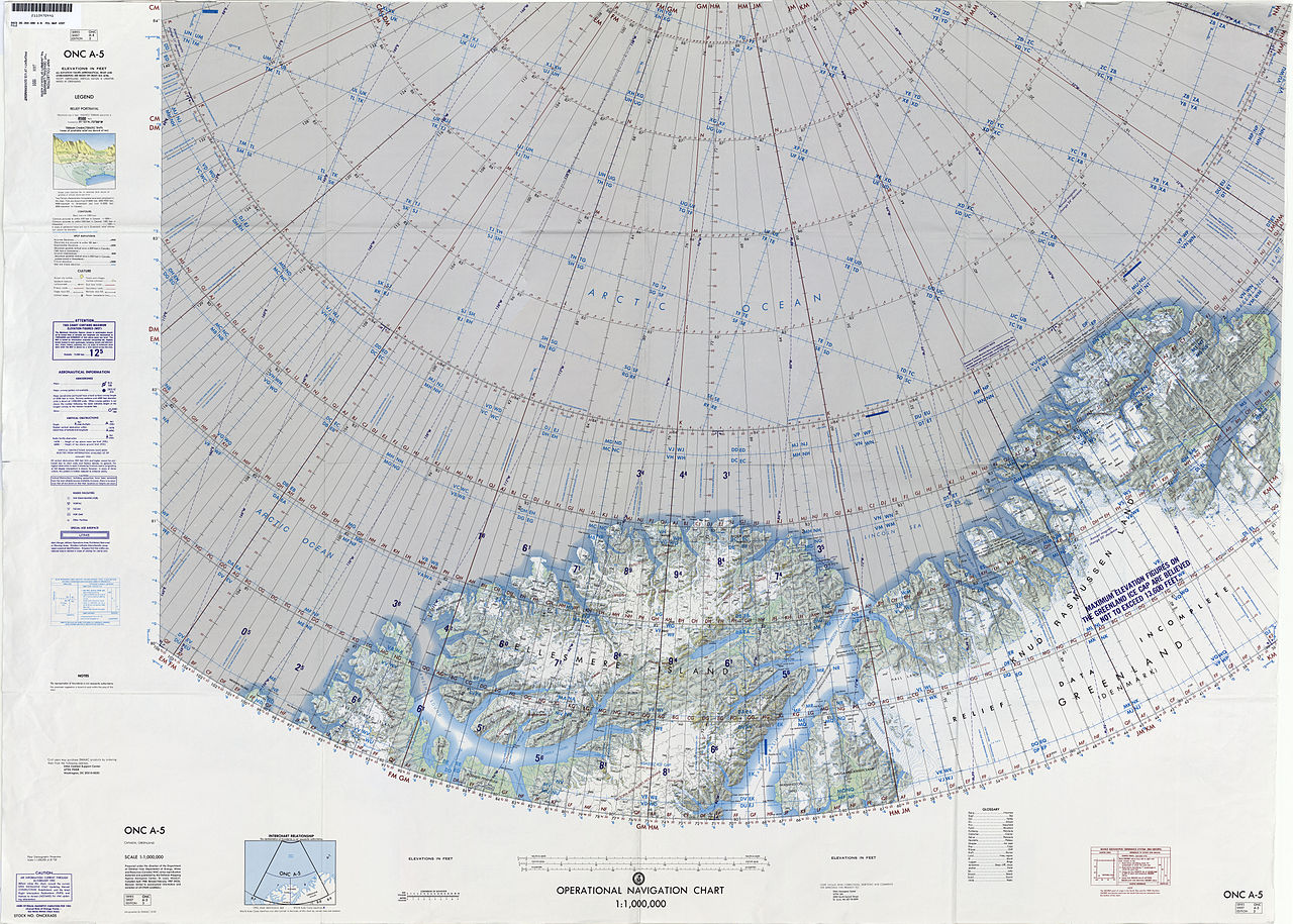
English: 1:1,000,000 scale Operational Navigation Chart, Sheet A-5, 3nd edition.
|
| Date | |
| Source | |
| Auteur | Defense Mapping Agency Aerospace Center, St. Louis, Mo. |
Covers 80N to 88N, 106W to 36W.
-
 Index Map

Conditions d’utilisation
| Cette œuvre est issue de la Bibliothèque du Congrès. Selon la bibliothèque, il n'existe aucune restriction connue en matière de droits d'auteur pour l'utilisation de cette œuvre. |  |
Historique du fichier
Cliquer sur une date et heure pour voir le fichier tel qu'il était à ce moment-là.
| Date et heure | Vignette | Dimensions | Utilisateur | Commentaire | |
|---|---|---|---|---|---|
| actuel | 6 septembre 2014 à 18:39 | | 9 254 × 6 613 (15,38 Mio) | Revent | User created page with UploadWizard |
Utilisation du fichier
La page suivante utilise ce fichier :
Usage global du fichier
Les autres wikis suivants utilisent ce fichier :
- Utilisation sur ceb.wikipedia.org
- Utilisation sur cs.wikipedia.org
- Utilisation sur de.wikipedia.org
- Utilisation sur en.wikipedia.org
- Hans Island
- United States Range
- Kaffeklubben Island
- Hendrik Island
- Sverdrup Island (Greenland)
- Challenger Mountains
- Warming Land
- Victoria Fjord
- East Jensen Island
- Hazenland
- John Murray Island
- Borup Island
- Cape Morton
- Hans Tausen Ice Cap
- Stephenson Island (Greenland)
- Hall Land
- Kayser Mountain
- Nina Bang Mountain
- Haug Range
- Odin Fjord
- Thor Fjord
- Freja Fjord
- De Long Fjord
- Newman Bay
- Nyeboe Land
- Freuchen Land
- Wulff Land
- Henson Glacier (Greenland)
- Washington Land
- Daugaard-Jensen Land
- Bessel Fjord, NW Greenland
- Hannah Island (Greenland)
- Joe Island (Greenland)
- Saint George Fjord
- Beaumont Island (Greenland)
- Sherard Osborn Fjord
- Ryder Glacier (Greenland)
- Steensby Glacier
- C. H. Ostenfeld Glacier
- Weyprecht Fjord
- Petermann Fjord
- Mount Wistar
- Sands Fjord
- Benedict Fjord
- Castle Island (Greenland)
Voir davantage sur l’utilisation globale de ce fichier.