Fichier:Ocean City Maryland aerial view north.jpg
Taille de cet aperçu : 800 × 534 pixels. Autres résolutions : 320 × 214 pixels | 640 × 427 pixels | 1 024 × 683 pixels | 1 500 × 1 001 pixels.
Fichier d’origine (1 500 × 1 001 pixels, taille du fichier : 753 kio, type MIME : image/jpeg)
Ce fichier et sa description proviennent de Wikimedia Commons.
| Description |
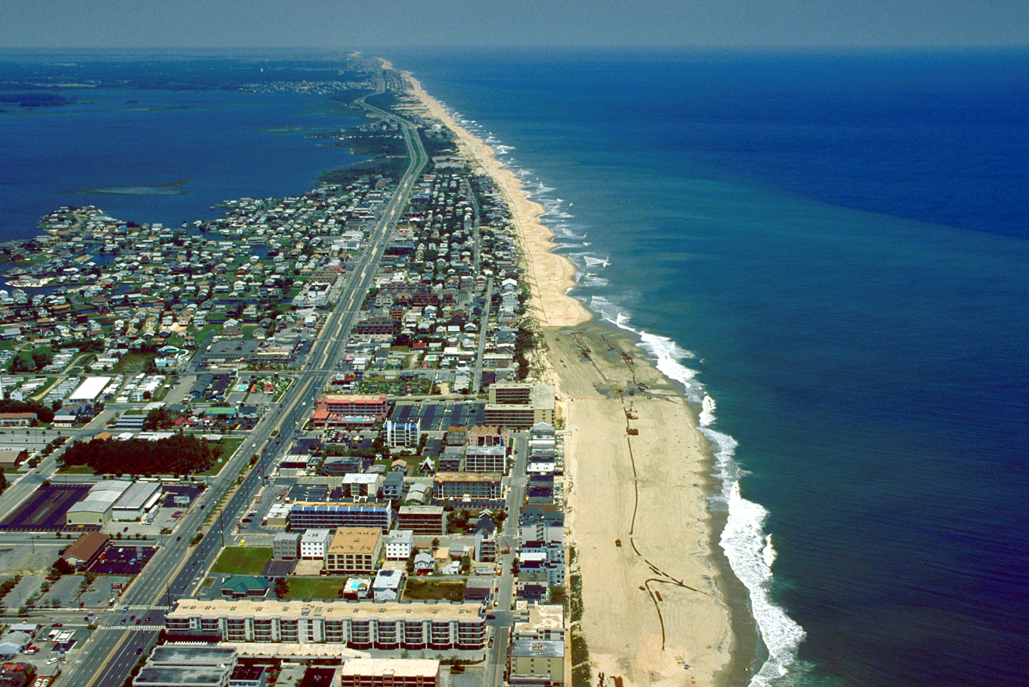
English: Aerial view of Ocean City, Maryland, USA. View is to the north-northeast. |
|||
| Date | ||||
| Source |
U.S. Army Corps of Engineers Digital Visual Library Image page Image description page Digital Visual Library home page |
|||
| Auteur | Tex Jobe, U.S. Army Corps of Engineers | |||
| Autorisation (Réutilisation de ce fichier) |
|
|||
| Lieu | Ocean City, Maryland, USA |
| Lieu de la prise de vue | | Voir cet endroit et d’autres images sur : OpenStreetMap |
|---|
Historique du fichier
Cliquer sur une date et heure pour voir le fichier tel qu'il était à ce moment-là.
| Date et heure | Vignette | Dimensions | Utilisateur | Commentaire | |
|---|---|---|---|---|---|
| actuel | 8 avril 2007 à 03:10 | | 1 500 × 1 001 (753 kio) | DanMS | {{Information | Description = {{en|Aerial view of Ocean City, Maryland, USA. View is to the north-northeast.}} | Source = U.S. Army Corps of Engineers Digital Visual Library<br />[http://images.usace.army.mil/images/Hires/0454-12.Jpg Image page |
Utilisation du fichier
Les 3 pages suivantes utilisent ce fichier :
Usage global du fichier
Les autres wikis suivants utilisent ce fichier :
- Utilisation sur ar.wikipedia.org
- Utilisation sur bg.wikipedia.org
- Utilisation sur bo.wikipedia.org
- Utilisation sur ca.wikipedia.org
- Utilisation sur de.wikipedia.org
- Utilisation sur en.wikipedia.org
- Utilisation sur es.wikipedia.org
- Utilisation sur fa.wikipedia.org
- Utilisation sur hak.wikipedia.org
- Utilisation sur hi.wikipedia.org
- Utilisation sur hu.wikipedia.org
- Utilisation sur ilo.wikipedia.org
- Utilisation sur is.wikipedia.org
- Utilisation sur it.wikipedia.org
- Utilisation sur ja.wikipedia.org
- Utilisation sur kn.wikipedia.org
- Utilisation sur pam.wikipedia.org
- Utilisation sur pl.wikipedia.org
- Utilisation sur pt.wikipedia.org
- Utilisation sur tr.wikipedia.org
- Utilisation sur ur.wikipedia.org
- Utilisation sur zh.wikipedia.org