Fichier:North West Leicestershire UK locator map.svg

Taille de cet aperçu PNG pour ce fichier SVG : 761 × 600 pixels. Autres résolutions : 305 × 240 pixels | 609 × 480 pixels | 975 × 768 pixels | 1 280 × 1 009 pixels | 2 560 × 2 017 pixels | 1 425 × 1 123 pixels.
Fichier d’origine (Fichier SVG, nominalement de 1 425 × 1 123 pixels, taille : 1 021 kio)
Ce fichier et sa description proviennent de Wikimedia Commons.
| Description |
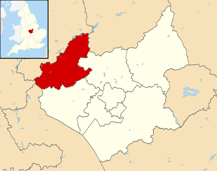
Map of Leicestershire, UK with North West Leicestershire highlighted. Equirectangular map projection on WGS 84 datum, with N/S stretched 160% |
| Date | |
| Source |
|
| Auteur | Nilfanion, created using Ordnance Survey data |
| Autorisation (Réutilisation de ce fichier) |
Ce fichier est disponible selon les termes de la licence Creative Commons Attribution – Partage dans les Mêmes Conditions 3.0 (non transposée). Attribution: Contains Ordnance Survey data © Crown copyright and database right
|
Historique du fichier
Cliquer sur une date et heure pour voir le fichier tel qu'il était à ce moment-là.
| Date et heure | Vignette | Dimensions | Utilisateur | Commentaire | |
|---|---|---|---|---|---|
| actuel | 13 août 2011 à 23:53 | | 1 425 × 1 123 (1 021 kio) | Nilfanion | {{Information |Description=Map of Leicestershire, UK with North West Leicestershire highlighted. Equirectangular map projection on WGS 84 datum, with N/S stretched 160% |Source=[[w:Ordnance Survey|Ordn |
Utilisation du fichier
La page suivante utilise ce fichier :
Usage global du fichier
Les autres wikis suivants utilisent ce fichier :
- Utilisation sur bg.wikipedia.org
- Utilisation sur cy.wikipedia.org
- Utilisation sur en.wikipedia.org
- Ashby-de-la-Zouch
- Breedon on the Hill
- Moira, Leicestershire
- Donisthorpe
- North West Leicestershire
- Coalville
- Kegworth
- Measham
- Willesley
- Whitwick
- Castle Donington
- Copt Oak
- Acresford
- Ibstock
- Heather, Leicestershire
- Belton, Leicestershire
- Ravenstone, Leicestershire
- Charley, Leicestershire
- Appleby Magna
- Snarestone
- Swepstone
- Stretton en le Field
- Bardon, Leicestershire
- Worthington, Leicestershire
- Packington
- Diseworth
- Appleby Parva
- Ellistown
- Osgathorpe
- Snibston
- Oakthorpe
- Thringstone
- Long Whatton
- Oaks in Charnwood
- Swannington, Leicestershire
- Albert Village
- Battram
- Wilson, Leicestershire
- Hemington, Leicestershire
- Blackfordby
- Coleorton
- Staunton Harold
- Normanton le Heath
- Chilcote
- Isley cum Langley
- Hugglescote
- Donington le Heath
- Griffydam
Voir davantage sur l’utilisation globale de ce fichier.