Fichier:Map of the historical region of (Iranian) Azerbaijan.png
Taille de cet aperçu : 652 × 600 pixels. Autres résolutions : 261 × 240 pixels | 522 × 480 pixels | 895 × 823 pixels.
Fichier d’origine (895 × 823 pixels, taille du fichier : 22 kio, type MIME : image/png)
Ce fichier et sa description proviennent de Wikimedia Commons.
_Azerbaijan.png?uselang=fr)
Description
| Description |
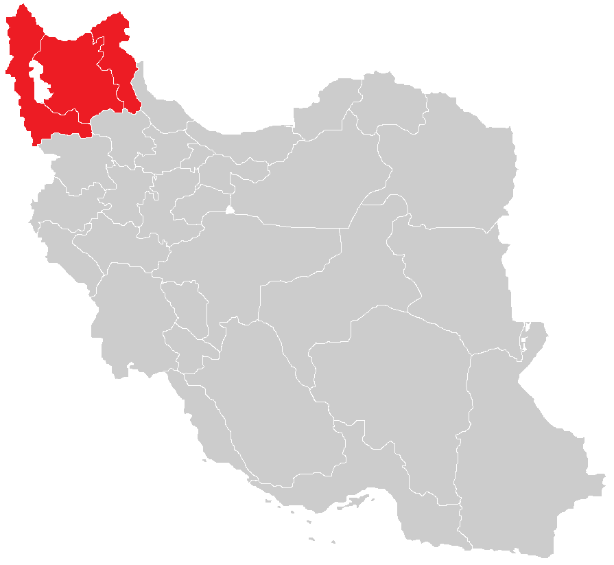
English: Map of the historical region of (Iranian) Azerbaijan |
| Date | |
| Source |
https://commons.wikimedia.org/w/index.php?title=File:Iranian-Azerbaijan.png&dir=prev#filehistory Based on the sources;
|
| Auteur | HistoryofIran |
Conditions d’utilisation
Ce fichier est sous la licence Creative Commons Attribution – Partage dans les Mêmes Conditions 4.0 International.
- Vous êtes libre :
- de partager – de copier, distribuer et transmettre cette œuvre
- d’adapter – de modifier cette œuvre
- Sous les conditions suivantes :
- paternité – Vous devez donner les informations appropriées concernant l'auteur, fournir un lien vers la licence et indiquer si des modifications ont été faites. Vous pouvez faire cela par tout moyen raisonnable, mais en aucune façon suggérant que l’auteur vous soutient ou approuve l’utilisation que vous en faites.
- partage à l’identique – Si vous modifiez, transformez, ou vous basez sur cette œuvre, vous devez distribuer votre contribution sous la même licence ou une licence compatible avec celle de l’original.

|
Cette image (de type carte) devrait être recréée dans un format vectoriel, en tant que fichier SVG. Cela offrirait plusieurs avantages : voir Commons:Media for cleanup pour plus d'informations. Si une version SVG de cette image est déjà disponible, merci de bien vouloir l'envoyer. Après cela, remplacez ce modèle par {{vector version available|nouveau nom d'image.svg}}.
|
Historique du fichier
Cliquer sur une date et heure pour voir le fichier tel qu'il était à ce moment-là.
| Date et heure | Vignette | Dimensions | Utilisateur | Commentaire | |
|---|---|---|---|---|---|
| actuel | 29 septembre 2023 à 15:28 | | 895 × 823 (22 kio) | HistoryofIran | rv, WP:RS contradicts this. |
| 27 septembre 2023 à 11:24 |  | 895 × 823 (15 kio) | AkaneoMT | Added Zanjan province as a contested part of historical Azerbaijan | |
| 19 janvier 2022 à 13:59 |  | 895 × 823 (22 kio) | HistoryofIran | Uploaded a work by HistoryofIran from https://commons.wikimedia.org/w/index.php?title=File:Iranian-Azerbaijan.png&dir=prev#filehistory with UploadWizard |
Utilisation du fichier
Les 2 pages suivantes utilisent ce fichier :
Usage global du fichier
Les autres wikis suivants utilisent ce fichier :
- Utilisation sur azb.wikipedia.org
- Utilisation sur az.wikipedia.org
- Utilisation sur bn.wikipedia.org
- Utilisation sur ca.wikipedia.org
- Utilisation sur diq.wikipedia.org
- Utilisation sur en.wikipedia.org
- Utilisation sur eo.wikipedia.org
- Utilisation sur eu.wikipedia.org
- Utilisation sur ga.wikipedia.org
- Utilisation sur id.wikipedia.org
- Utilisation sur ku.wikipedia.org
- Utilisation sur lv.wikipedia.org
- Utilisation sur mg.wikipedia.org
- Utilisation sur ms.wikipedia.org
- Utilisation sur nl.wikipedia.org
- Utilisation sur ru.wikipedia.org
- Utilisation sur sh.wikipedia.org
- Utilisation sur simple.wikipedia.org
- Utilisation sur sr.wikipedia.org
- Utilisation sur uk.wikipedia.org
- Utilisation sur www.wikidata.org
_Azerbaijan.png)