Fichier:MD Route 231.svg

Taille de cet aperçu PNG pour ce fichier SVG : 750 × 600 pixels. Autres résolutions : 300 × 240 pixels | 600 × 480 pixels | 960 × 768 pixels | 1 280 × 1 024 pixels | 2 560 × 2 048 pixels | 3 000 × 2 400 pixels.
Fichier d’origine (Fichier SVG, nominalement de 3 000 × 2 400 pixels, taille : 10 kio)
Ce fichier et sa description proviennent de Wikimedia Commons.
Description
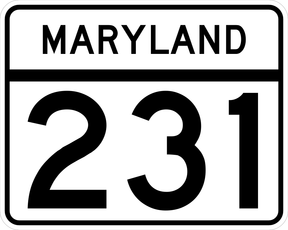
A Maryland Route 231 route marker, own work. Made according to http://www.marylandroads.com/businesswithsha/bizstdsspecs/desmanualstdpub/publicationsonline/oots/pdf/M1-5.pdf using Inkscape.
Conditions d’utilisation
This file is in the public domain because it comes from the Maryland Manual on Uniform Traffic Control Devices, sign number M1-5, which states specifically in its introduction, on page iii that:
|
Historique du fichier
Cliquer sur une date et heure pour voir le fichier tel qu'il était à ce moment-là.
| Date et heure | Vignette | Dimensions | Utilisateur | Commentaire | |
|---|---|---|---|---|---|
| actuel | 26 mai 2006 à 03:45 | | 3 000 × 2 400 (10 kio) | Jeff02 | A Maryland Route 231 route marker, own work. Made according to http://www.marylandroads.com/businesswithsha/bizstdsspecs/desmanualstdpub/publicationsonline/oots/pdf/M1-5.pdf using Inkscape. 231 |
| 26 mai 2006 à 03:45 |  | 3 000 × 2 400 (10 kio) | Jeff02 | A Maryland Route 101 route marker, own work. Made according to http://www.marylandroads.com/businesswithsha/bizstdsspecs/desmanualstdpub/publicationsonline/oots/pdf/M1-5.pdf using Inkscape. Category:Maryland state highway route markers |
Utilisation du fichier
La page suivante utilise ce fichier :
Usage global du fichier
Les autres wikis suivants utilisent ce fichier :
- Utilisation sur en.wikipedia.org
- Charles County, Maryland
- Prince Frederick, Maryland
- Patuxent River
- Maryland Route 2
- Maryland Route 4
- Maryland Route 5
- List of highways numbered 231
- Governor Thomas Johnson Bridge
- Maryland Route 231
- Maryland Route 765
- User:Algorerhythms/MD Route Table
- User:Algorerhythms/MD Route Table split
- Maryland Route 229
- Maryland Route 234
- Maryland Route 508
- Maryland Route 381
- User:Kumba42/MD Scenic byway 13 - Star-Spangled Banner
- List of state highways in Maryland
- Wikipedia:WikiProject U.S. Roads/Redirects/Maryland/200-299
- Utilisation sur es.wikipedia.org
- Utilisation sur ja.wikipedia.org
- Utilisation sur www.wikidata.org
- Utilisation sur zh-min-nan.wikipedia.org