Fichier:I-80 (CA).svg

Taille de cet aperçu PNG pour ce fichier SVG : 600 × 600 pixels. Autres résolutions : 240 × 240 pixels | 480 × 480 pixels | 768 × 768 pixels | 1 024 × 1 024 pixels | 2 048 × 2 048 pixels.
Fichier d’origine (Fichier SVG, nominalement de 600 × 600 pixels, taille : 21 kio)
Ce fichier et sa description proviennent de Wikimedia Commons.
.svg?uselang=fr)
W3C-validity not checked.
Description
| Description |
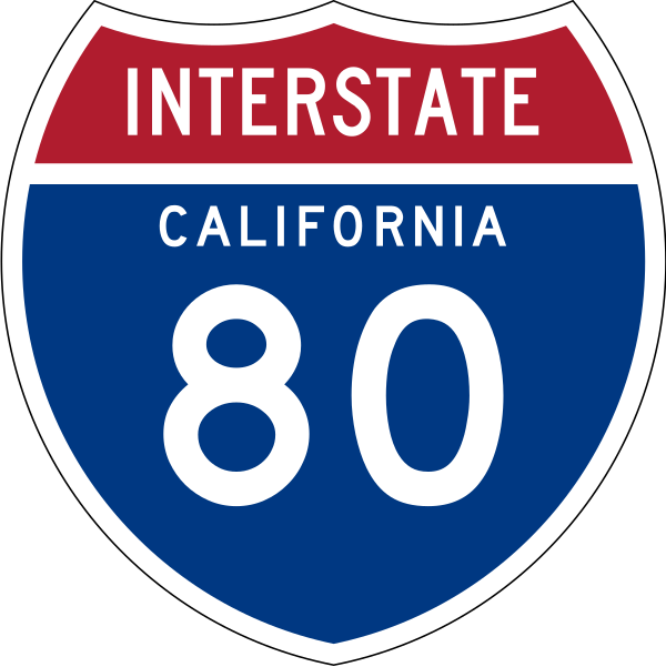
English: 24 in by 24 in (600 mm by 600 mm) Interstate shield, made to the specifications of the 1971 Caltrans sign drawing (still in use). Uses the Roadgeek 2005 fonts. (United States law does not permit the copyrighting of typeface designs, and the fonts are meant to be copies of a U.S. Government-produced work anyway.) Colors are from [1] (Pantone Red 187 and Blue 294), converted to RGB by [2]. The outside border has a width of 1 and a color of black so it shows up; in reality, signs have no outside border. |
| Date | |
| Source | Travail personnel |
| Auteur | O |
Conditions d’utilisation
This file is in the public domain because it comes from the Manual on Uniform Traffic Control Devices, sign number M1-1, which states specifically on page I-1 that:
|
.svg) |

|
Cette œuvre contient des ressources qui peuvent être soumises aux lois des marques dans certaines juridictions. Avant d'utiliser ce contenu, veuillez vous assurer que vous avez le droit de l'utiliser dans le cadre des lois qui s'appliquent aux circonstances dans lesquelles vous comptez l'utiliser. Vous êtes entièrement responsable de vérifier que le droit de marque d'un tiers n'est pas enfreint. Voir les avertissements généraux. Ce bandeau n’indique rien sur le statut de l’œuvre au regard du droit d'auteur. Un bandeau de droit d’auteur est requis. Voir Commons:À propos des licences pour plus d’informations. |
Historique du fichier
Cliquer sur une date et heure pour voir le fichier tel qu'il était à ce moment-là.
| Date et heure | Vignette | Dimensions | Utilisateur | Commentaire | |
|---|---|---|---|---|---|
| actuel | 21 septembre 2011 à 23:06 | | 600 × 600 (21 kio) | Fredddie | spec says INTERSTATE legend is Series C |
| 29 juillet 2009 à 21:38 |  | 384 × 385 (39 kio) | T2 | Reverted to version as of 13:03, 23 July 2009 | |
| 29 juillet 2009 à 21:36 |  | 601 × 601 (22 kio) | T2 | update | |
| 23 juillet 2009 à 15:03 |  | 384 × 385 (39 kio) | T2 | Reverted to version as of 09:37, 25 March 2009 | |
| 20 juillet 2009 à 19:51 |  | 384 × 385 (24 kio) | T2 | update | |
| 25 mars 2009 à 11:37 |  | 384 × 385 (39 kio) | T2 | update | |
| 2 janvier 2007 à 04:05 |  | 384 × 385 (33 kio) | O | 24 in by 24 in (600 mm by 600 mm) Interstate shield, made to the specifications of the [http://www.dot.ca.gov/hq/traffops/signtech/signdel/specs/G27-2.pdf 1971 Caltrans sign drawing] (still in use). Uses the [http://www.triskele.com/fonts/index.html Roadg |
Utilisation du fichier
Les 7 pages suivantes utilisent ce fichier :
Usage global du fichier
Les autres wikis suivants utilisent ce fichier :
- Utilisation sur en.wikipedia.org
- San Francisco Peninsula
- Alameda County, California
- Contra Costa County, California
- Nevada County, California
- Placer County, California
- Sierra County, California
- Solano County, California
- Northern California
- San Francisco–Oakland Bay Bridge
- User:Branddobbe/Temporary
- Richmond–San Rafael Bridge
- Transbay Tube
- Carquinez Bridge
- Benicia–Martinez Bridge
- Eastern California
- California State Route 80
- Transportation in the San Francisco Bay Area
- Interstate 80 in California
- Transportation in California
- User:Artisol2345
- Sacramento metropolitan area
- User:Timsabin/List of HOT and ETL lanes in the United States
- San Mateo–Hayward Bridge
- Talk:List of auxiliary Interstate Highways/Archive 1
- User:Gz260/Roads/I (USA)/Wikidata
- User:Kevon kevono/Started From the Bottom
- User:Morriswa/Highway sorted by location
- User:Ejells2/sandbox
- User:Elvatomasvato
- List of bridges in the United States
- Utilisation sur es.wikipedia.org
- Condado de Alameda
- Condado de Contra Costa
- Anexo:Autopistas interestatales auxiliares
- Carreteras de Estados Unidos
- Condado de Nevada (California)
- Condado de Placer
- Condado de Sacramento
- Condado de Sierra (California)
- Condado de Solano
- Condado de Yolo
- Anexo:Carreteras estatales de California
- Ruta Estatal de California 79
- Interestatal 5 en California
- U.S. Route 101 (California)
- Ruta Estatal de California 82
- Interestatal 80 (California)
- Wikiproyecto:Estados Unidos/Carreteras/CA
- Ruta Estatal de California 4
- Interestatal 505
- Interestatal 580 (California)
Voir davantage sur l’utilisation globale de ce fichier.
.svg)
.svg)