Fichier:Haringey London UK blank ward map.svg

Taille de cet aperçu PNG pour ce fichier SVG : 776 × 600 pixels. Autres résolutions : 311 × 240 pixels | 621 × 480 pixels | 994 × 768 pixels | 1 280 × 989 pixels | 2 560 × 1 978 pixels | 1 425 × 1 101 pixels.
Fichier d’origine (Fichier SVG, nominalement de 1 425 × 1 101 pixels, taille : 377 kio)
Ce fichier et sa description proviennent de Wikimedia Commons.
| Description |
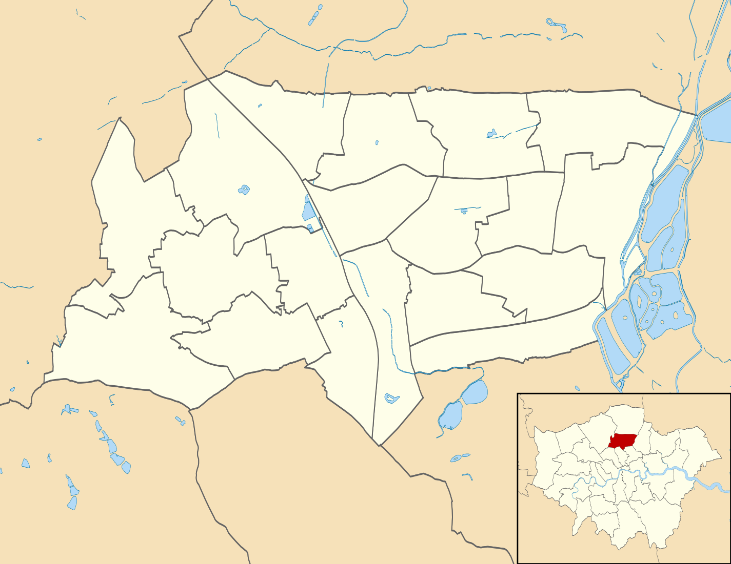
Blank map of the London Borough of Haringey, showing electoral wards. Equirectangular map projection on WGS 84 datum, with N/S stretched 160% Geographic limits:
|
| Date | |
| Source |
|
| Auteur | Nilfanion |
| Autorisation (Réutilisation de ce fichier) |
Ce fichier est disponible selon les termes de la licence Creative Commons Attribution – Partage dans les Mêmes Conditions 3.0 (non transposée). Attribution: Contains Ordnance Survey data © Crown copyright and database right
|
Historique du fichier
Cliquer sur une date et heure pour voir le fichier tel qu'il était à ce moment-là.
| Date et heure | Vignette | Dimensions | Utilisateur | Commentaire | |
|---|---|---|---|---|---|
| actuel | 29 juillet 2011 à 00:02 | | 1 425 × 1 101 (377 kio) | Nilfanion | {{Information |Description=Blank map of the London Borough of Haringey, showing electoral wards. Equirectangular map projection on WGS 84 datum, with N/S stretched 160% Geographic limits: *West: 0.18W *East: 0.035W *Nort |
Utilisation du fichier
La page suivante utilise ce fichier :
Usage global du fichier
Les autres wikis suivants utilisent ce fichier :
- Utilisation sur en.wikipedia.org
- Utilisation sur he.wikipedia.org
- Utilisation sur pl.wikipedia.org
- White Hart Lane
- Highgate (stacja metra)
- Tottenham Hale (stacja kolejowa)
- Northumberland Park (stacja kolejowa)
- Seven Sisters (stacja kolejowa)
- Bruce Grove (stacja kolejowa)
- White Hart Lane (stacja kolejowa)
- Bounds Green
- Alexandra Palace (stacja kolejowa)
- Bowes Park (stacja kolejowa)
- Hornsey (stacja kolejowa)
- Wood Green
- Turnpike Lane
- Harringay (stacja kolejowa)
- Harringay Green Lanes (stacja kolejowa)
- South Tottenham (stacja kolejowa)
- Alexandra Palace
- Katedra greckoprawosławna Zaśnięcia Bogurodzicy w Londynie
- Moduł:Mapa/dane/Haringey
- Moduł:Mapa/dane/GB-HRY
- Tottenham Hotspur Stadium
- Cmentarz Tottenham
- Utilisation sur pl.wikibooks.org