Fichier:Greenland.A2004208.1810.250m.jpg

Taille de cet aperçu : 800 × 600 pixels. Autres résolutions : 320 × 240 pixels | 640 × 480 pixels | 1 024 × 768 pixels | 1 280 × 960 pixels | 2 560 × 1 920 pixels | 3 200 × 2 400 pixels.
Fichier d’origine (3 200 × 2 400 pixels, taille du fichier : 1,11 Mio, type MIME : image/jpeg)
Ce fichier et sa description proviennent de Wikimedia Commons.
Description
| Description |
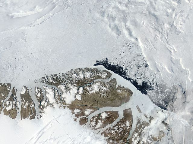
English: Northern Greenland (Peary Land): Moderate Resolution Imaging Spectroradiometer (MODIS) on NASA’s Terra satellite |
| Date | |
| Source | http://visibleearth.nasa.gov/view.php?id=71935 |
| Auteur | NASA |
Conditions d’utilisation
| Ce fichier provient de la NASA. Sauf exception, les documents créés par la NASA ne sont pas soumis à copyright. Pour plus d'informations, voir la politique de copyright de la NASA. | ||
 |
Attention :
|
| Annotations | Cette image est annotée : Voir les annotations sur Wikimedia Commons |
Historique du fichier
Cliquer sur une date et heure pour voir le fichier tel qu'il était à ce moment-là.
| Date et heure | Vignette | Dimensions | Utilisateur | Commentaire | |
|---|---|---|---|---|---|
| actuel | 18 juillet 2012 à 08:06 | | 3 200 × 2 400 (1,11 Mio) | Ratzer | {{Information |Description ={{en|1=Northern Greenland (Peary Land): Moderate Resolution Imaging Spectroradiometer (MODIS) on NASA’s Terra satellite}} |Source =http://visibleearth.nasa.gov/view.php?id=71935 |Author =NASA |Date ... |
Utilisation du fichier
Les 2 pages suivantes utilisent ce fichier :
Usage global du fichier
Les autres wikis suivants utilisent ce fichier :
- Utilisation sur be.wikipedia.org
- Utilisation sur ca.wikipedia.org
- Utilisation sur ceb.wikipedia.org
- Utilisation sur cs.wikipedia.org
- Utilisation sur da.wikipedia.org
- Utilisation sur de.wikipedia.org
- Utilisation sur en.wikipedia.org
- Peary Land
- Independence I culture
- Sverdrup Island (Greenland)
- East Jensen Island
- Hazenland
- John Murray Island
- Princess Dagmar Island
- Princess Thyra Island
- Borup Island
- Stephenson Island (Greenland)
- Princess Margaret Island
- De Long Fjord
- Beaumont Island (Greenland)
- Roosevelt Range
- Johannes V. Jensen Land
- Nansen Land
- Stjernebannertinde
- Roosevelt Land
- Amundsen Land
Voir davantage sur l’utilisation globale de ce fichier.