Fichier:Europe-Great Britain.svg

Fichier d’origine (Fichier SVG, nominalement de 450 × 456 pixels, taille : 735 kio)
Ce fichier et sa description proviennent de Wikimedia Commons.

Description
| Description |
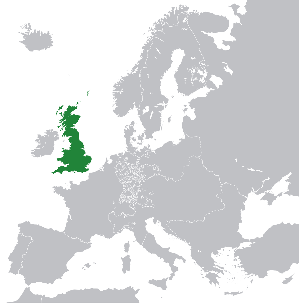
English: Great Britain in 1800 Europe. |
||
| Date | |||
| Source | File:Europe 1789.svg | ||
| Auteur | Rob984 | ||
| Autres versions |
|
.svg)
Conditions d’utilisation
- Vous êtes libre :
- de partager – de copier, distribuer et transmettre cette œuvre
- d’adapter – de modifier cette œuvre
- Sous les conditions suivantes :
- paternité – Vous devez donner les informations appropriées concernant l'auteur, fournir un lien vers la licence et indiquer si des modifications ont été faites. Vous pouvez faire cela par tout moyen raisonnable, mais en aucune façon suggérant que l’auteur vous soutient ou approuve l’utilisation que vous en faites.
- partage à l’identique – Si vous modifiez, transformez, ou vous basez sur cette œuvre, vous devez distribuer votre contribution sous la même licence ou une licence compatible avec celle de l’original.
Ce fichier ne semble pas être publié sous la bonne licence.
L'utilisateur ayant apposé ce bandeau a donné pour motivation : appears to be an uncredited (unattributed) derivative work of both Europe 1789.svg which is licensed under the Creative Commons Attribution-Share Alike 3.0 Unported licence. I believe the currently supplied license (Creative Commons Attribution-Share Alike 4.0 International) is compatible with this but the required attribution has not been supplied.
Prévenez la personne ayant importé le fichier, en ajoutant le code suivant à sa page de discussion :
Les fichiers où ce modèle est apposé sont listés dans Category:Items with disputed copyright information.
|
Historique du fichier
Cliquer sur une date et heure pour voir le fichier tel qu'il était à ce moment-là.
| Date et heure | Vignette | Dimensions | Utilisateur | Commentaire | |
|---|---|---|---|---|---|
| actuel | 8 novembre 2014 à 13:53 | | 450 × 456 (735 kio) | Rob984 | User created page with UploadWizard |
Utilisation du fichier
La page suivante utilise ce fichier :
Usage global du fichier
Les autres wikis suivants utilisent ce fichier :
- Utilisation sur bg.wikipedia.org
- Utilisation sur en.wikipedia.org
- Utilisation sur hi.wikipedia.org
- Utilisation sur hr.wikipedia.org
- Utilisation sur ja.wikipedia.org
- Utilisation sur ka.wikipedia.org
- Utilisation sur nl.wikipedia.org
- Utilisation sur pl.wikipedia.org
- Utilisation sur rue.wikipedia.org
- Utilisation sur ru.wikipedia.org
- Utilisation sur zh-min-nan.wikipedia.org