Fichier:Carte itinéraire topographique, hydrographique et statistique du département du Finistère - 1849.jpg

Taille de cet aperçu : 699 × 600 pixels. Autres résolutions : 280 × 240 pixels | 559 × 480 pixels | 895 × 768 pixels | 1 193 × 1 024 pixels | 2 386 × 2 048 pixels | 6 982 × 5 993 pixels.
Fichier d’origine (6 982 × 5 993 pixels, taille du fichier : 28,66 Mio, type MIME : image/jpeg)
Ce fichier et sa description proviennent de Wikimedia Commons.
Description
| Description |
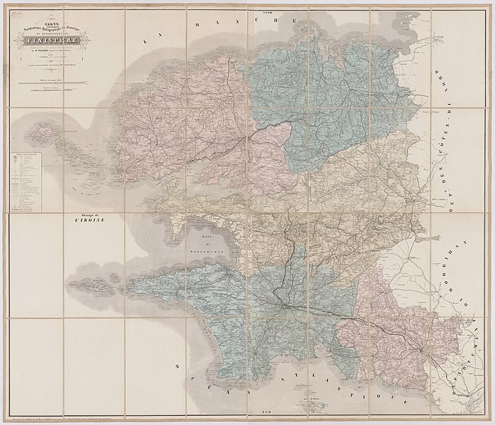
Français : Carte itinéraire topographique, hydrographique et statistique du département du Finistère |
| Date | |
| Source | https://mediatheques.quimper-bretagne-occidentale.bzh/iguana/www.main.cls?sUrl=search#recordId=1.382396 |
| Auteur | Taconnet |
Conditions d’utilisation
|
Cette œuvre est également dans le domaine public dans tous les pays pour lesquels le droit d’auteur a une durée de vie de 70 ans ou moins après la mort de l’auteur. Cette œuvre est dans le domaine public aux États-Unis car elle a été publiée avant le 1er janvier 1929. | |
| Ce fichier a été identifié comme étant exempt de restrictions connues liées au droit d’auteur, y compris tous les droits connexes et voisins. | |
Historique du fichier
Cliquer sur une date et heure pour voir le fichier tel qu'il était à ce moment-là.
| Date et heure | Vignette | Dimensions | Utilisateur | Commentaire | |
|---|---|---|---|---|---|
| actuel | 18 janvier 2022 à 16:49 | | 6 982 × 5 993 (28,66 Mio) | Gz260 | Uploaded a work by Taconnet from https://mediatheques.quimper-bretagne-occidentale.bzh/iguana/www.main.cls?sUrl=search#recordId=1.382396 with UploadWizard |
Utilisation du fichier
La page suivante utilise ce fichier :