Fichier:Brazil Geoecon Amazonia.svg

Fichier d’origine (Fichier SVG, nominalement de 702 × 687 pixels, taille : 307 kio)
Ce fichier et sa description proviennent de Wikimedia Commons.

|
Standardization of derivative maps
Feel free to create derivations of this work, but if you want to illustrate a Wikipedia article with derivative works of this or similar maps of Brazil, please strictly follow the visual standard, nomenclature and classification already in use. All maps of Brazilian subdivisions are being adaptated or created in this way. We do not want to inhibit creativity but the pattern adopted here was presented and accepted by the Lusophone community and should be followed whenever possible. |
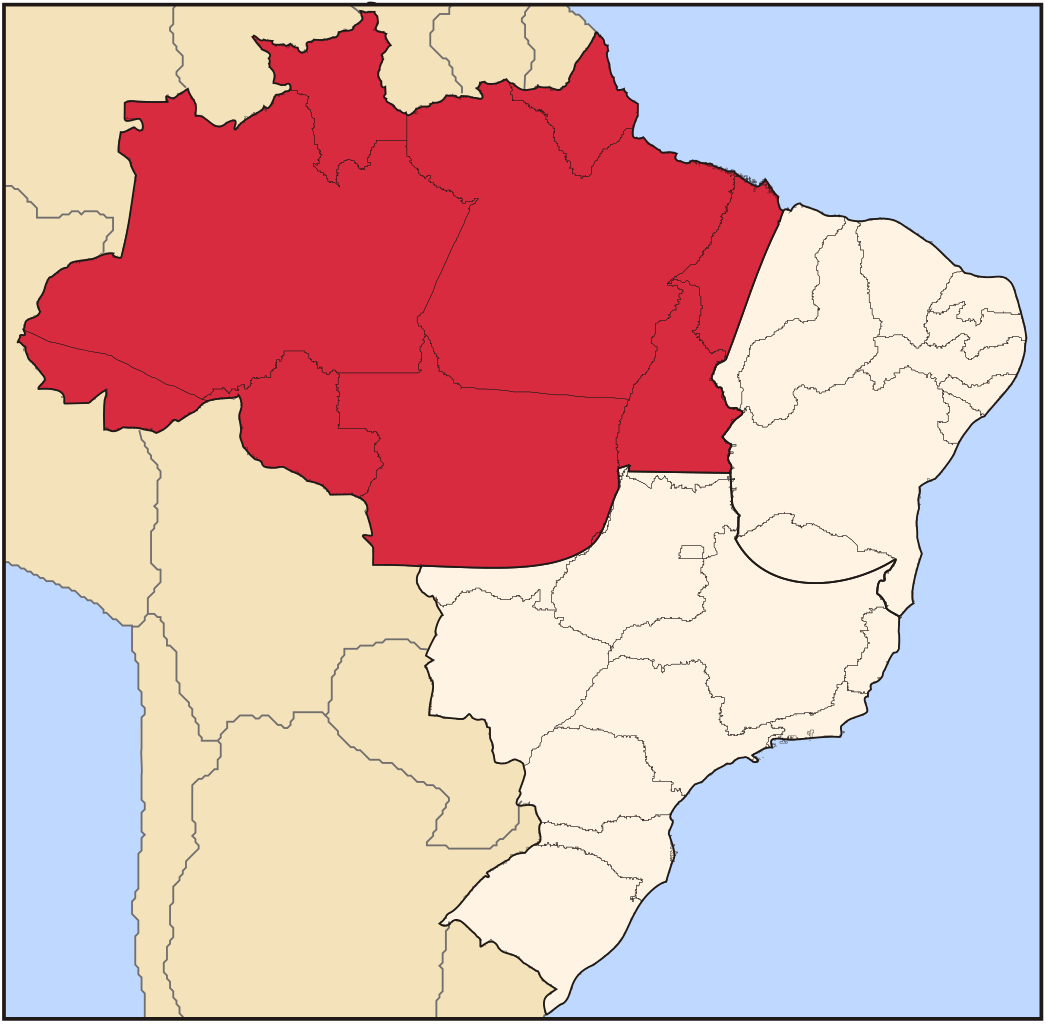
| Description | Map locator of Brazil's Amazonia geoeconomic region | ||||||||
| Date | |||||||||
| Source | Travail personnel | ||||||||
| Auteur | Raphael Lorenzeto de Abreu | ||||||||
| Autorisation (Réutilisation de ce fichier) |
Moi, en tant que détenteur des droits d’auteur sur cette œuvre, je la publie sous les licences suivantes :
Ce fichier est disponible selon les termes de la licence Creative Commons Attribution 2.5 Générique.
Vous pouvez choisir l’une de ces licences. |

Historique du fichier
Cliquer sur une date et heure pour voir le fichier tel qu'il était à ce moment-là.
| Date et heure | Vignette | Dimensions | Utilisateur | Commentaire | |
|---|---|---|---|---|---|
| actuel | 21 avril 2006 à 21:26 | | 702 × 687 (307 kio) | Raphael.lorenzeto | {{Information| |Description=Map locator of Brazil's Amazonia geoeconomic region |Source=own work |Date=April, 21 2006 |Author=Raphael Lorenzeto de Abreu |Permission={{self2|GFDL|cc-by-2.5}} |other_versions= }} Category:Maps of Brazil |
Utilisation du fichier
La page suivante utilise ce fichier :
Usage global du fichier
Les autres wikis suivants utilisent ce fichier :
- Utilisation sur ca.wikipedia.org
- Utilisation sur en.wikipedia.org
- Utilisation sur eu.wikipedia.org
- Utilisation sur ja.wikipedia.org
- Utilisation sur pt.wikipedia.org
- Utilisation sur www.wikidata.org