Fichier:Angus UK relief location map.jpg

Taille de cet aperçu : 611 × 600 pixels. Autres résolutions : 244 × 240 pixels | 489 × 480 pixels | 782 × 768 pixels | 1 043 × 1 024 pixels | 1 998 × 1 962 pixels.
Fichier d’origine (1 998 × 1 962 pixels, taille du fichier : 471 kio, type MIME : image/jpeg)
Ce fichier et sa description proviennent de Wikimedia Commons.
| Description |
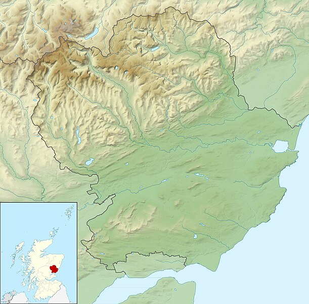
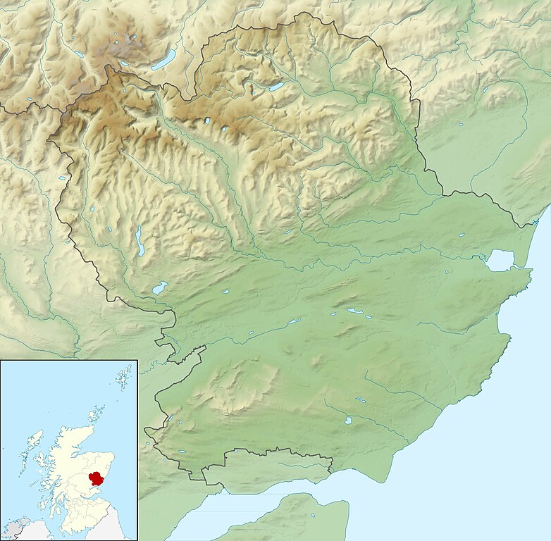
Relief map of Angus, UK. Equirectangular map projection on WGS 84 datum, with N/S stretched 180% Geographic limits:
|
| Date | |
| Source |
|
| Auteur | Nilfanion, created using Ordnance Survey data |
| Autorisation (Réutilisation de ce fichier) |
Ce fichier est disponible selon les termes de la licence Creative Commons Attribution – Partage dans les Mêmes Conditions 3.0 (non transposée). Attribution: Contains Ordnance Survey data © Crown copyright and database right
|
| Autres versions | File:Angus UK blank map.svg - Blank map |
Historique du fichier
Cliquer sur une date et heure pour voir le fichier tel qu'il était à ce moment-là.
| Date et heure | Vignette | Dimensions | Utilisateur | Commentaire | |
|---|---|---|---|---|---|
| actuel | 30 novembre 2011 à 14:15 | | 1 998 × 1 962 (471 kio) | Nilfanion | {{Information |Description=Relief map of Angus, UK. Equirectangular map projection on WGS 84 datum, with N/S stretched 180% Geographic limits: *West: 3.5W *East: 2.4W *North: 57.0N *South: 56.4N |Source=Ordnance Survey |
Utilisation du fichier
La page suivante utilise ce fichier :
Usage global du fichier
Les autres wikis suivants utilisent ce fichier :
- Utilisation sur ar.wikipedia.org
- Utilisation sur ba.wikipedia.org
- Utilisation sur bg.wikipedia.org
- Utilisation sur ceb.wikipedia.org
- Utilisation sur de.wikipedia.org
- Airlie Castle
- Cortachy Castle
- Edzell Castle
- Vorlage:Positionskarte Schottland Angus
- Finavon Castle
- Farnell Castle
- Forter Castle
- Forfar Castle
- Gardyne Castle
- Invermark Castle
- Inverquharity Castle
- Melgund Castle
- Panmure Castle
- Red Castle
- Glas Maol
- Cairn of Claise
- Creag Leacach
- Tom Buidhe
- Driesh
- Mayar
- Loch of Forfar
- Utilisation sur en.wikipedia.org
- Sidlaws
- Carnoustie Golf Links
- 2007 Open Championship
- Loch Lee
- Corrie Fee
- Balfour Castle, Angus
- User:Catfish Jim and the soapdish/Double Disc (Pictish symbol)
- Module:Location map/data/Scotland Angus/doc
- Rescobie Loch
- Loch Fithie
- Loch of Forfar
- 2018 Open Championship
- West Seaton House
- Module:Location map/data/Scotland Angus
- 2010 Senior Open Championship
- Loch of Lintrathen
- Long Loch (Angus)
Voir davantage sur l’utilisation globale de ce fichier.