Fichier:1862 Johnson Map of California, Nevada, Utah, Colorado, New Mexico and Arizona - Geographicus - CANMUT-johnson-1862.jpg

Fichier d’origine(5 000 × 3 509 pixels, taille du fichier : 4,71 Mio, type MIME : image/jpeg)

Ce fichier et sa description proviennent de Wikimedia Commons.

Description

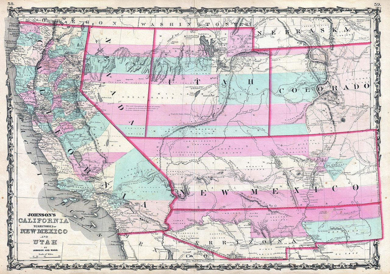
Alvin Jewett Johnson : Johnson's California, Territories of New Mexico and Utah.   (Wikidata search (Cirrus search) Wikidata query (SPARQL)  Create new Wikidata item based on this file)
Artiste
Alvin Jewett Johnson  (1827–1884)  wikidata:Q18507750
 
Autres noms
A. J. Johnson
Description éditeur ou éditrice et cartographe américain
Date de naissance / décès 23 septembre 1827 Éditer sur Wikidata 22 avril 1884 Éditer sur Wikidata
Lieu de naissance / décès Wallingford Brooklyn
Lieu de travail
Autorité
artist QS:P170,Q18507750
Titre
Johnson's California, Territories of New Mexico and Utah.
Description
English: 1862 Johnson Map of California, Nevada, Utah, Colorado, New Mexico, and Arizona.
  • One of the scarcest and most historically significant of A. J. Johnson’s southwest series. Published in 1862 at the height of the American Civil War, this stunning map depicts the state of California and the territories of Nevada, Utah, Colorado, New Mexico and Arizona, in the Southwestern United States.
  • Representing the third state of the Johnson southwest map, this map varies most significantly from its 1861 predecessor in the addition of a clearly defined Arrizona (yes, with 2 “r”s) Territory. In 1861 “Arrizona” was an alternate name for the lands added to the New Mexico Territory by the 1854 Gadsden Purchase. With only a small population and minimal political influence this region was largely ignored by the New Mexico territorial government in distant Sante Fe. Arizona applied several times to be granted independent territorial status, but its low population caused the request to be repeatedly denied. At the outbreak of the Civil War, Arizonans saw an opportunity to appeal to an alternate body for the political needs of the region and through their lot in with the secessionist southern states. Around this time the Union began to withdraw troops from the region in fear that Sante Fe would be attacked by Confederate soldiers operating out of Texas. In Texas itself Col. John Robert Baylor, recognizing a strategic opportunity, led his troops into Southern Arizona. In a series of brilliant tactical manauvers, Baylor defeated the much large Union garrison and seized Fort Fillmore and Messilla. Shortly thereafter Baylor declared himself Territorial Governor of the Confederate Territory of Arizona including “all that portion of New Mexico lying south of the thirty-fourth parallel of north latitude.” The Confederate Territory of Arizona lasted less than a year before it was seized by the Union Army and dismantled in favor of the current configuration with the Arizona—New Mexico border situated along a north-south axis.
  • This is one of the few maps issued during this short and politically volatile period to specifically depict the Confederate Territory of Arizona. Also varies from the previous state of the map in that the California—Nevada Territory border has been corrected to a straight line between Pyramid Peak (where several Mormon settlements are noted) and Fort Moliare. Elsewhere on the map, Utah Territory and Arizona are split up along the 116th meridian, far west of where it sits today. Fillmore City is shows as the capital of Utah though Salt Lake City also appears. In Colorado the Gold Region near Colorado City is prominently depicted.
  • Throughout, this map is full of interesting and sometimes erroneous notations regarding natural features, Native American tribes, proposed railroads, mail routes, explorer’s tracks, and treaty lines. In the highly desertous region near modern day Quartzite, Arizona, a note reads “in the vicinity of this place a tract of country is found which is said by Trappers to be exceedingly and fertile and abundantly timbered and well watered.” Johnson also notes silver deposits in this same region. “Vegas” appears roughly in its current location though at the time there was little there but a natural water source and an abandoned Mormon fort. The famed Pony Express Route is delineated as it passes through Nebraska, Utah, and Nevada on its way to California.  :*All in all, this is an extraordinarily example of one of the scarcest and most desirable maps of the American Southwest. Published by A. J. Johnson and Ward as plate numbers 58 and 59 in the 1862 edition of Johnson’s New Illustrated Family Atlas .
Date 1862 (undated)
Dimensions hauteur : 17,5 pouces (44,4 cm) ; largeur : 24,5 pouces (62,2 cm)
dimensions QS:P2048,17.5U218593
dimensions QS:P2049,24.5U218593
Numéro d’inventaire
liens Geographicus : CANMUT-johnson-1862
Source / photographe

Johnson, A. J., Johnson's New Illustrated (Steel Plate) Family Atlas with Descriptions, Geographical, Statistical, and Historical. (1862 A. J. Johnson & Ward edition)

Autorisation
(Réutilisation de ce fichier)
Ceci est une reproduction photographique fidèle d'une œuvre d'art originale en deux dimensions. L'œuvre d'art elle-même est dans le domaine public pour la raison suivante :
Public domain

Cette œuvre est également dans le domaine public dans tous les pays pour lesquels le droit d’auteur a une durée de vie de 100 ans ou moins après la mort de l’auteur.


Vous devez aussi inclure un modèle indiquant pourquoi cette œuvre est dans le domaine public aux États-Unis.
La position officielle de la Fondation Wikimedia est que « les représentations fidèles des œuvres d'art du domaine public en deux dimensions sont dans le domaine public et les exigences contraires sont une attaque contre le concept même de domaine public ». Pour plus de détails, voir Commons:Quand utiliser le bandeau PD-Art.
Cette reproduction photographique est donc également considérée comme étant élevée dans le domaine public. Merci de noter qu'en fonction des lois locales, la réutilisation de ce contenu peut être interdite ou restreinte dans votre juridiction. Voyez Commons:Reuse of PD-Art photographs.

Légendes

Ajoutez en une ligne la description de ce que représente ce fichier

Éléments décrits dans ce fichier

dépeint

image/jpeg

5fd44590745a0cbd16729b453c441df3d3d92814

4 936 144 octet

3 509 pixel

5 000 pixel

Historique du fichier

Cliquer sur une date et heure pour voir le fichier tel qu'il était à ce moment-là.

Date et heureVignetteDimensionsUtilisateurCommentaire
actuel22 mars 2011 à 21:26Vignette pour la version du 22 mars 2011 à 21:265 000 × 3 509 (4,71 Mio)BotMultichillT{{subst:User:Multichill/Geographicus |link=http://www.geographicus.com/P/AntiqueMap/CANMUT-johnson-1862 |product_name=1862 Johnson Map of California, Nevada, Utah, Colorado, New Mexico and Arizona |map_title=Johnson's California, Territories of New Mexico

La page suivante utilise ce fichier :