Fichier:Wfm loch leven.png
Taille de cet aperçu : 800 × 593 pixels. Autres résolutions : 320 × 237 pixels | 640 × 474 pixels | 1 024 × 758 pixels | 1 280 × 948 pixels.
Fichier d’origine (1 280 × 948 pixels, taille du fichier : 2,37 Mio, type MIME : image/png)
Ce fichier et sa description proviennent de Wikimedia Commons.
| Description |
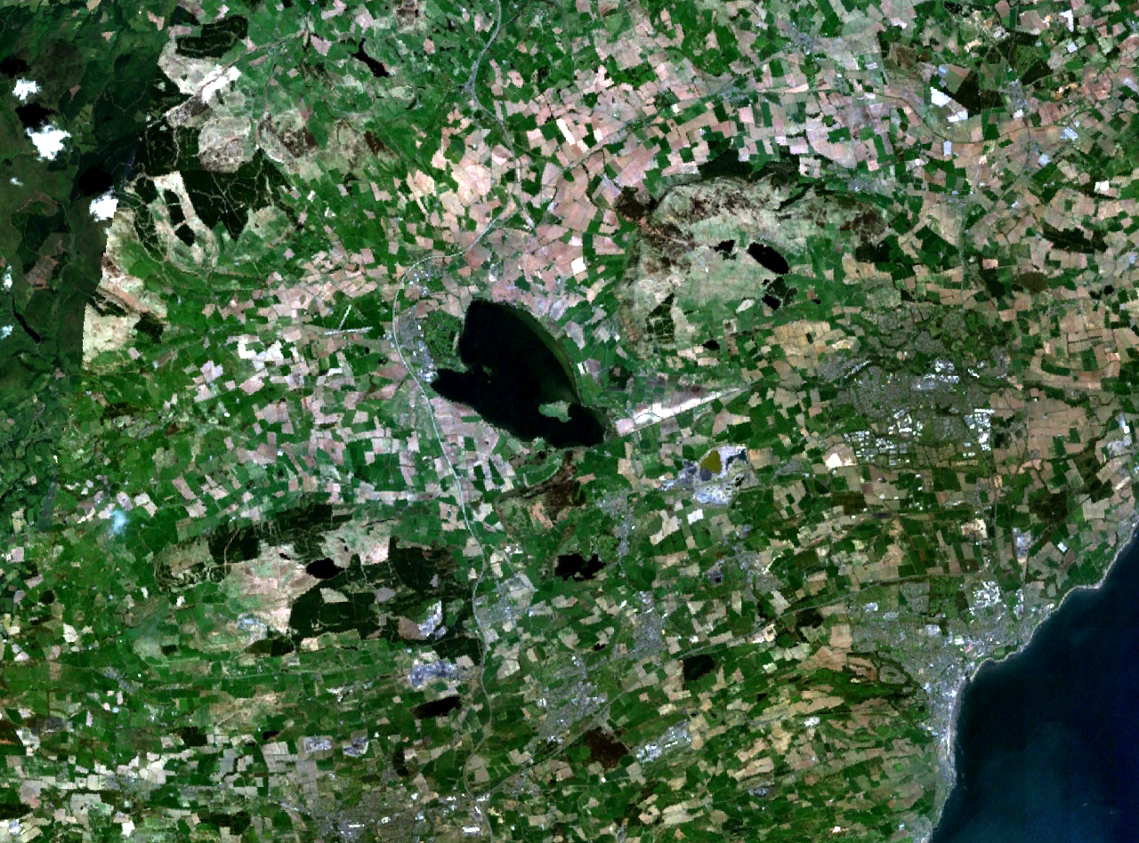
Loch Leven and central Fife in Scotland. Kirkcaldy is visible on the coast to the southeast, Glenrothes to the east, and part of Dunfermline to the south. The M90 motorway runs to the west, through Kinross and past Milnathort. |
|||
| Date | Date inconnue (montage of various photgraphs) | |||
| Source | NASA World Wind | |||
| Auteur | NASA Landsat | |||
| Autorisation (Réutilisation de ce fichier) |
|

Historique du fichier
Cliquer sur une date et heure pour voir le fichier tel qu'il était à ce moment-là.
| Date et heure | Vignette | Dimensions | Utilisateur | Commentaire | |
|---|---|---|---|---|---|
| actuel | 16 avril 2006 à 19:37 | | 1 280 × 948 (2,37 Mio) | Finlay McWalter | {{Information| |Description=Loch Leven and western Fife in Scotland |Source=NASA World Wind |Date=unknown (montage of various photgraphs) |Author=NASA Landsat |Permission={{PD-WorldWind}} |other_versions= }} |
Utilisation du fichier
La page suivante utilise ce fichier :
Usage global du fichier
Les autres wikis suivants utilisent ce fichier :
- Utilisation sur af.wikipedia.org
- Utilisation sur de.wikipedia.org
- Utilisation sur en.wikipedia.org
- Utilisation sur eu.wikipedia.org
- Utilisation sur no.wikipedia.org
- Utilisation sur ru.wikipedia.org
- Utilisation sur sv.wikipedia.org
- Utilisation sur uk.wikipedia.org