Fichier:TruroFalmouthAerial.jpg
Taille de cet aperçu : 450 × 600 pixels. Autres résolutions : 180 × 240 pixels | 360 × 480 pixels | 576 × 768 pixels | 768 × 1 024 pixels | 1 500 × 2 000 pixels.
Fichier d’origine (1 500 × 2 000 pixels, taille du fichier : 1,6 Mio, type MIME : image/jpeg)
Ce fichier et sa description proviennent de Wikimedia Commons.
Description
| Description |
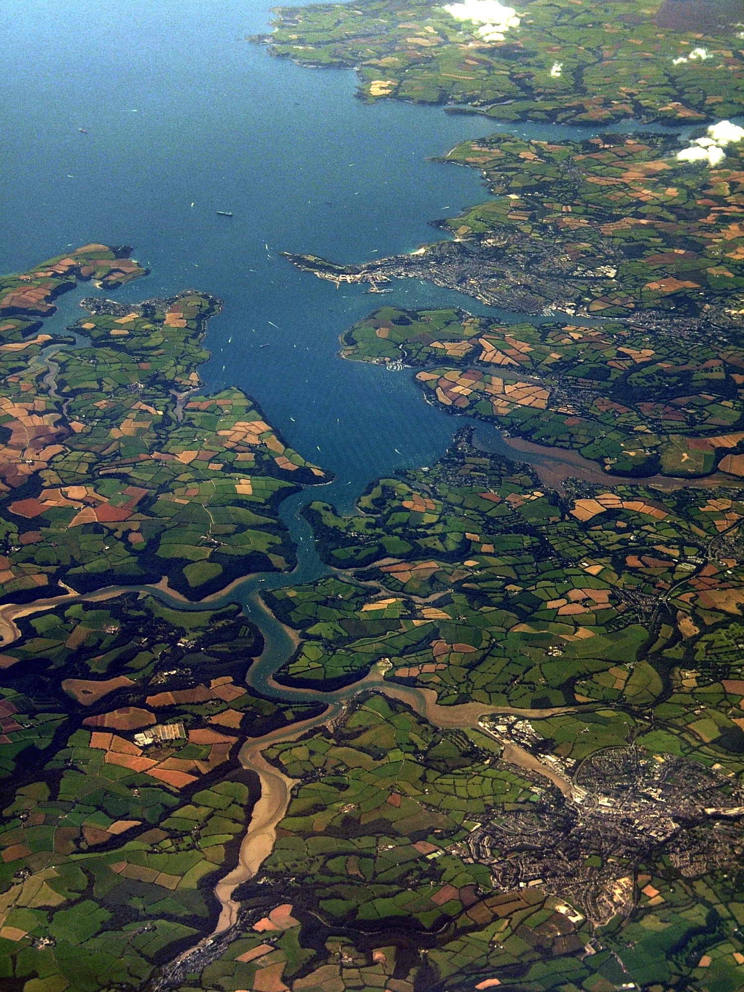
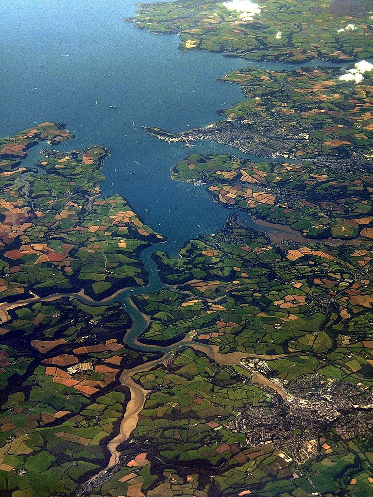
An aerial photo of Carrick Roads. Falmouth is at the mouth of the estuary, and Truro is in the bottom-right of the image. See map. [?] |
| Date | |
| Source | South Cornish coast |
| Auteur | Jessica from Hove, United Kingdom |
Conditions d’utilisation
Ce fichier est disponible selon les termes de la licence Creative Commons Attribution 2.0 Générique.
- Vous êtes libre :
- de partager – de copier, distribuer et transmettre cette œuvre
- d’adapter – de modifier cette œuvre
- Sous les conditions suivantes :
- paternité – Vous devez donner les informations appropriées concernant l'auteur, fournir un lien vers la licence et indiquer si des modifications ont été faites. Vous pouvez faire cela par tout moyen raisonnable, mais en aucune façon suggérant que l’auteur vous soutient ou approuve l’utilisation que vous en faites.
| Cette image, qui provient de Flickr, a été vérifiée le 13:23, 4 November 2007 (UTC) par l'administrateur ou l'utilisateur de confiance (trusted user) Boricuaeddie, qui a confirmé qu'à cette date, elle était publiée sur Flickr sous cette licence. |
Historique du fichier
Cliquer sur une date et heure pour voir le fichier tel qu'il était à ce moment-là.
| Date et heure | Vignette | Dimensions | Utilisateur | Commentaire | |
|---|---|---|---|---|---|
| actuel | 27 juillet 2010 à 01:11 | | 1 500 × 2 000 (1,6 Mio) | Smalljim | Reduce haze and other unwanted colour casts. |
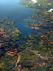
| 3 novembre 2007 à 01:39 |  | 1 500 × 2 000 (1,81 Mio) | Joowwww | {{Information |Description= An aerial photo of Carrick Roads. Falmouth is at the mouth of the estuary, and Truro is in the bottom-right of the image. [http://loc.alize.us/#/flickr:1250339847 See map.] [http://www.flickr.com/groups/geotagging/discuss/7215 |
Utilisation du fichier
Les 2 pages suivantes utilisent ce fichier :
Usage global du fichier
Les autres wikis suivants utilisent ce fichier :
- Utilisation sur de.wikipedia.org
- Utilisation sur en.wikipedia.org
- Utilisation sur es.wikipedia.org
- Utilisation sur eu.wikipedia.org
- Utilisation sur kw.wikipedia.org
- Utilisation sur ro.wikipedia.org
- Utilisation sur ru.wikipedia.org
- Utilisation sur uk.wikipedia.org
- Utilisation sur www.wikidata.org