Fichier:Tri-Cities map.svg

Taille de cet aperçu PNG pour ce fichier SVG : 776 × 600 pixels. Autres résolutions : 311 × 240 pixels | 621 × 480 pixels | 994 × 768 pixels | 1 280 × 989 pixels | 2 560 × 1 978 pixels | 990 × 765 pixels.
Fichier d’origine (Fichier SVG, nominalement de 990 × 765 pixels, taille : 908 kio)
Ce fichier et sa description proviennent de Wikimedia Commons.
Description
| Description |
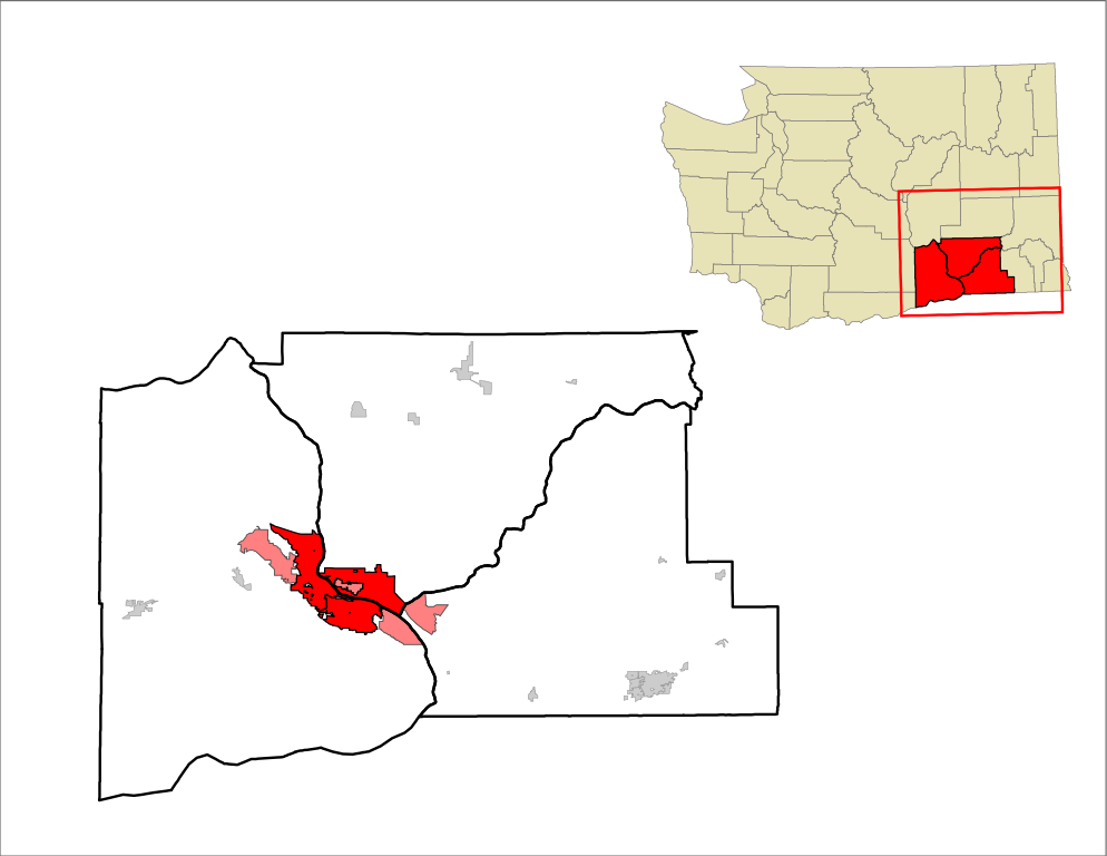
English: Map of the Tri-Cities region in SE Washington State. |
| Date | |
| Source | Travail personnel |
| Auteur | 25or6to4 |
Conditions d’utilisation
Moi, en tant que détenteur des droits d’auteur sur cette œuvre, je la publie sous la licence suivante :
Ce fichier est disponible selon les termes de la licence Creative Commons Attribution – Partage dans les Mêmes Conditions 3.0 (non transposée).
- Vous êtes libre :
- de partager – de copier, distribuer et transmettre cette œuvre
- d’adapter – de modifier cette œuvre
- Sous les conditions suivantes :
- paternité – Vous devez donner les informations appropriées concernant l'auteur, fournir un lien vers la licence et indiquer si des modifications ont été faites. Vous pouvez faire cela par tout moyen raisonnable, mais en aucune façon suggérant que l’auteur vous soutient ou approuve l’utilisation que vous en faites.
- partage à l’identique – Si vous modifiez, transformez, ou vous basez sur cette œuvre, vous devez distribuer votre contribution sous la même licence ou une licence compatible avec celle de l’original.
Historique du fichier
Cliquer sur une date et heure pour voir le fichier tel qu'il était à ce moment-là.
| Date et heure | Vignette | Dimensions | Utilisateur | Commentaire | |
|---|---|---|---|---|---|
| actuel | 16 mai 2019 à 14:41 | | 990 × 765 (908 kio) | Howpper | Highlighted CDPs within the Tri-Cities urban area in pink. |
| 9 janvier 2017 à 06:25 |  | 990 × 765 (904 kio) | Howpper | Reverted to version as of 21:56, 15 July 2012 (UTC) | |
| 8 janvier 2017 à 05:32 |  | 990 × 765 (410 kio) | Howpper | Trying again | |
| 8 janvier 2017 à 05:28 |  | 990 × 765 (798 kio) | Howpper | Removed Walla Walla county, because it is not part of the Tri-Cities metropolitan area. | |
| 15 juillet 2012 à 23:56 |  | 990 × 765 (904 kio) | 25or6to4 | Let's try this again... | |
| 15 juillet 2012 à 23:55 |  | 990 × 765 (823 kio) | 25or6to4 | Fix background | |
| 15 juillet 2012 à 23:52 |  | 792 × 612 (291 kio) | 25or6to4 |
Utilisation du fichier
La page suivante utilise ce fichier :
Usage global du fichier
Les autres wikis suivants utilisent ce fichier :
- Utilisation sur azb.wikipedia.org
- Utilisation sur ca.wikipedia.org
- Utilisation sur de.wikipedia.org
- Utilisation sur en.wikipedia.org
- Utilisation sur fy.wikipedia.org
- Utilisation sur hu.wikipedia.org
- Utilisation sur ja.wikipedia.org
- Utilisation sur ur.wikipedia.org
- Utilisation sur www.wikidata.org