Fichier:Somalia sat.png

Taille de cet aperçu : 458 × 599 pixels. Autres résolutions : 183 × 240 pixels | 367 × 480 pixels | 587 × 768 pixels | 1 252 × 1 638 pixels.
Fichier d’origine (1 252 × 1 638 pixels, taille du fichier : 2,26 Mio, type MIME : image/png)
Ce fichier et sa description proviennent de Wikimedia Commons.
K
Description
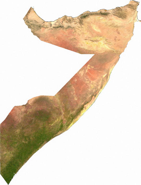
Raster data download July 12, 2006 from The Map Library: exported to TIFF format, and converted to PNG via GIMP.
Conditions d’utilisation
| This file is in the public domain, because it was generated by a user, using free sources available at The Map Library.
Note that this does not include the maps in the Global Administrative Areas section of the homepage. |
Historique du fichier
Cliquer sur une date et heure pour voir le fichier tel qu'il était à ce moment-là.
| Date et heure | Vignette | Dimensions | Utilisateur | Commentaire | |
|---|---|---|---|---|---|
| actuel | 13 juillet 2006 à 03:56 | | 1 252 × 1 638 (2,26 Mio) | Unquietwiki | Raster data download July 12, 2006 from The Map Library: exported to TIFF format, and converted to PNG via GIMP. == Licensing == {{PD-MapProject}} |
Utilisation du fichier
La page suivante utilise ce fichier :
Usage global du fichier
Les autres wikis suivants utilisent ce fichier :
- Utilisation sur af.wikipedia.org
- Utilisation sur bg.wikipedia.org
- Utilisation sur de.wikipedia.org
- Utilisation sur en.wikipedia.org
- Utilisation sur eo.wikipedia.org
- Utilisation sur hr.wikipedia.org
- Utilisation sur hu.wikipedia.org
- Utilisation sur it.wikipedia.org
- Utilisation sur ka.wikipedia.org
- Utilisation sur pl.wikipedia.org
- Utilisation sur pt.wikipedia.org
- Utilisation sur ru.wikipedia.org
- Utilisation sur so.wikipedia.org
- Utilisation sur uk.wikipedia.org
- Utilisation sur vec.wikipedia.org