Fichier:Pichincha.png
Taille de cet aperçu : 800 × 534 pixels. Autres résolutions : 320 × 214 pixels | 640 × 427 pixels | 1 024 × 684 pixels | 1 280 × 855 pixels | 1 920 × 1 282 pixels.
Fichier d’origine (1 920 × 1 282 pixels, taille du fichier : 96 kio, type MIME : image/png)
Ce fichier et sa description proviennent de Wikimedia Commons.
Description
| Description |
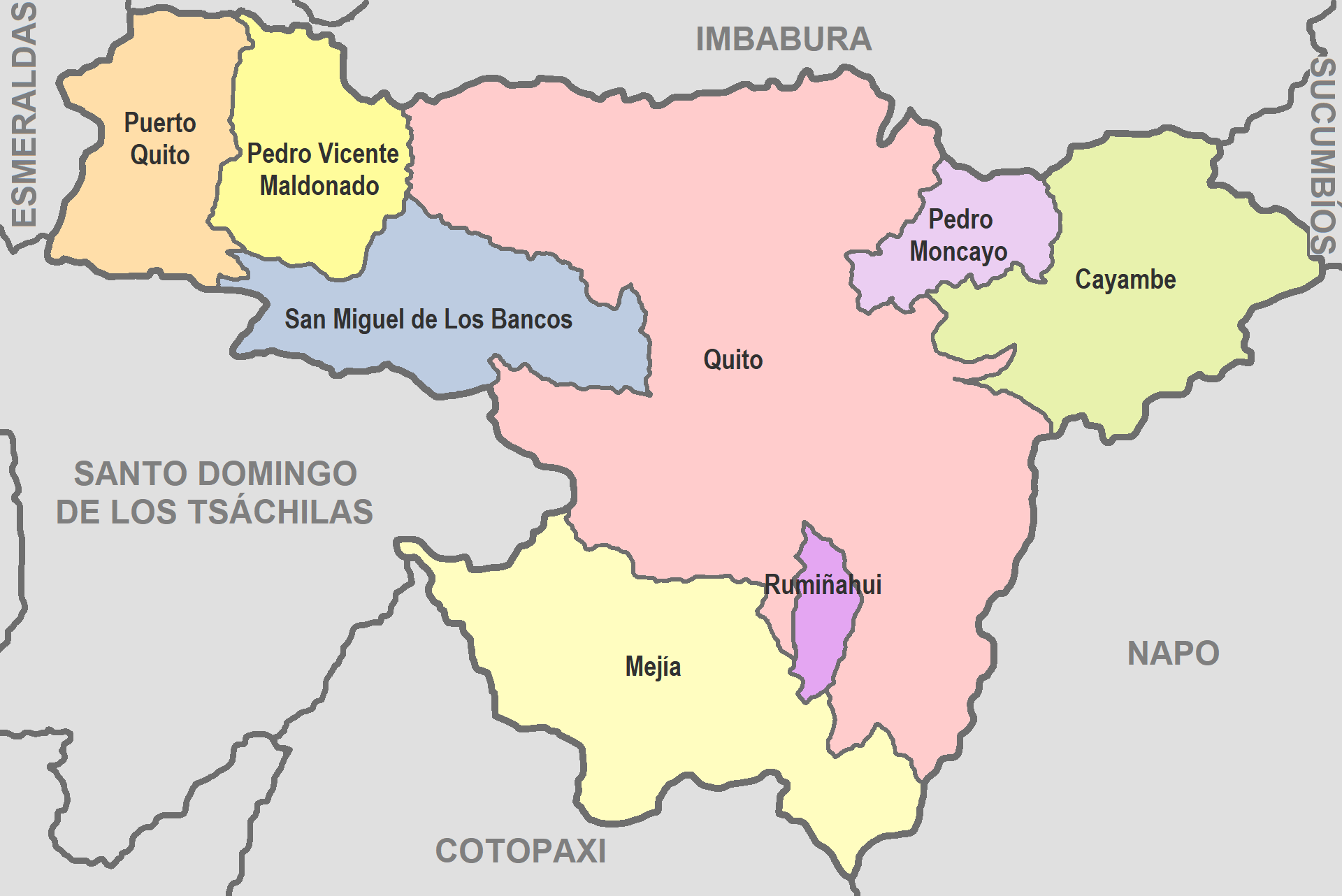
English: Map of Pichincha
Español: Mapa de Pichincha |
| Date | |
| Source | De mi trabajo |
| Auteur | David C. S. |
Conditions d’utilisation
Moi, en tant que détenteur des droits d’auteur sur cette œuvre, je la publie sous la licence suivante :
| Ce fichier est disponible selon les termes de la licence Creative Commons CC0 Don universel au domaine public. | |
| La personne qui a associé une œuvre avec cet acte l’a placée dans le domaine public en renonçant mondialement à tous ses droits sur cette œuvre en vertu des lois relatives au droit d’auteur, ainsi qu’à tous les droits juridiques connexes et voisins qu’elle possédait sur l’œuvre, sans autre limite que celles imposées par la loi. Vous pouvez copier, modifier, distribuer et utiliser cette œuvre, y compris à des fins commerciales, sans qu’il soit nécessaire d’en demander la permission.
|
Historique du fichier
Cliquer sur une date et heure pour voir le fichier tel qu'il était à ce moment-là.
| Date et heure | Vignette | Dimensions | Utilisateur | Commentaire | |
|---|---|---|---|---|---|
| actuel | 14 juin 2022 à 05:32 | | 1 920 × 1 282 (96 kio) | David C. S. | Imagen |
| 26 septembre 2017 à 06:07 |  | 707 × 457 (37 kio) | Berposen | Actualizando los limites de la provincia de Santo Domingo de los Tsachilas. | |
| 10 octobre 2011 à 23:16 |  | 707 × 457 (33 kio) | David C. S. | Imagen | |
| 7 avril 2011 à 01:52 |  | 601 × 384 (39 kio) | David C. S. | {{Information |Description ={{en|1=Map of Pichincha}} {{es|1=Mapa de Pichincha}} |Source =De mi trabajo |Author =David C. S. |Date =2011-04-03 |Permission = |other_versions = }} |
Utilisation du fichier
Aucune page n’utilise ce fichier.