Fichier:Nigeria Plateau State map.png
Pas de plus haute résolution disponible.
Nigeria_Plateau_State_map.png (777 × 599 pixels, taille du fichier : 176 kio, type MIME : image/png)
Ce fichier et sa description proviennent de Wikimedia Commons.
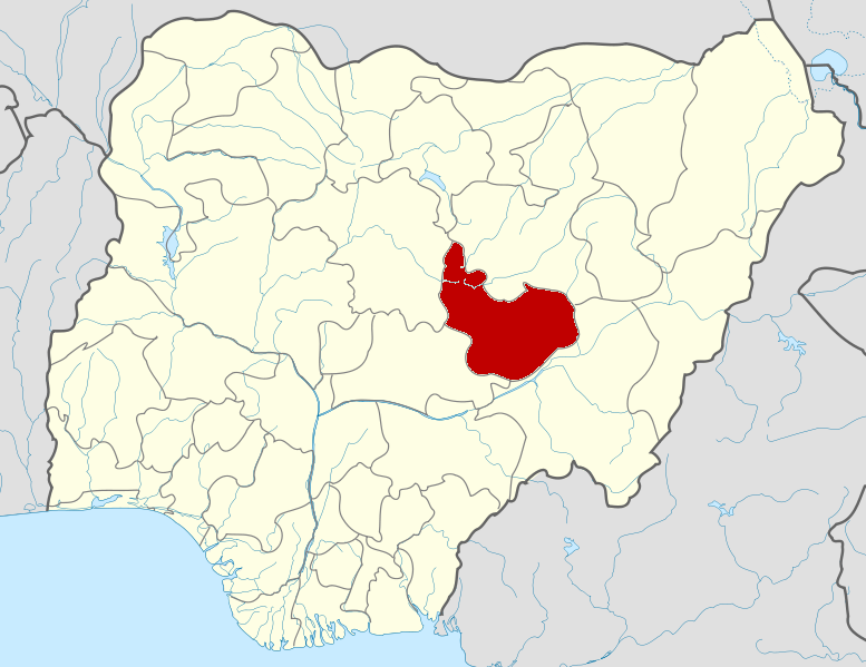
Description
| Description |
English: Map locator of Nigeria. |
| Date | |
| Source | Based on File:Nigeria location map.svg |
| Auteur | Himalayan Explorer based on work by Uwe Dedering |
Conditions d’utilisation
Ce fichier est disponible selon les termes de la licence Creative Commons Attribution – Partage dans les Mêmes Conditions 3.0 (non transposée).
- Vous êtes libre :
- de partager – de copier, distribuer et transmettre cette œuvre
- d’adapter – de modifier cette œuvre
- Sous les conditions suivantes :
- paternité – Vous devez donner les informations appropriées concernant l'auteur, fournir un lien vers la licence et indiquer si des modifications ont été faites. Vous pouvez faire cela par tout moyen raisonnable, mais en aucune façon suggérant que l’auteur vous soutient ou approuve l’utilisation que vous en faites.
- partage à l’identique – Si vous modifiez, transformez, ou vous basez sur cette œuvre, vous devez distribuer votre contribution sous la même licence ou une licence compatible avec celle de l’original.
National Association of Plateau State (NAPSS)
Historique du fichier
Cliquer sur une date et heure pour voir le fichier tel qu'il était à ce moment-là.
| Date et heure | Vignette | Dimensions | Utilisateur | Commentaire | |
|---|---|---|---|---|---|
| actuel | 11 février 2010 à 06:10 | | 777 × 599 (176 kio) | Himalayan Explorer | {{Information |Description={{en|1=l}} |Source=l |Author=l |Date=l |Permission= |other_versions= }} |
Utilisation du fichier
Aucune page n’utilise ce fichier.
Usage global du fichier
Les autres wikis suivants utilisent ce fichier :
- Utilisation sur ar.wikipedia.org
- Utilisation sur bg.wikipedia.org
- Utilisation sur ca.wikipedia.org
- Utilisation sur cs.wikipedia.org
- Utilisation sur en.wikipedia.org
- Wase, Nigeria
- Roman Catholic Archdiocese of Jos
- Roman Catholic Diocese of Yola
- Roman Catholic Diocese of Shendam
- Bokkos
- Langtang North
- Langtang South
- Template:Plateau State
- Bassa, Plateau State
- Jos East
- Jos North
- Jos South
- Riyom
- Barkin Ladi
- Mangu, Nigeria
- Kanke, Nigeria
- Pankshin
- Qua'an Pan
- Mikang
- Shendam
- Kanam, Nigeria
- 2014 Jos bombings
- User:GerardM/States of Nigeria
- List of villages in Plateau State
- Bauchi Ring Road
- Utilisation sur eo.wikipedia.org
- Utilisation sur fa.wikipedia.org
- Utilisation sur gl.wikipedia.org
- Utilisation sur ha.wikipedia.org
- Utilisation sur hy.wikipedia.org
- Utilisation sur id.wikipedia.org
- Utilisation sur ig.wikipedia.org
- Utilisation sur incubator.wikimedia.org
- Utilisation sur ja.wikipedia.org
- Utilisation sur jv.wikipedia.org
Voir davantage sur l’utilisation globale de ce fichier.