Fichier:Newbury, Site of the Second Battle of Newbury 1644 - geograph.org.uk - 1656273.jpg
Pas de plus haute résolution disponible.
Newbury,_Site_of_the_Second_Battle_of_Newbury_1644_-_geograph.org.uk_-_1656273.jpg (640 × 480 pixels, taille du fichier : 107 kio, type MIME : image/jpeg)
Ce fichier et sa description proviennent de Wikimedia Commons.
Description
| Description |
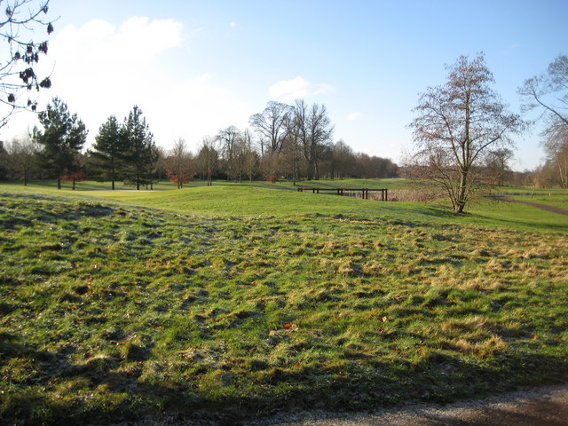
English: Newbury: Site of the Second Battle of Newbury 1644 During the Civil War, between 1641 and 1651, the Second Battle of Newbury took place around this area on 27 October 1644 when the Royalists under King Charles I fought the Parliamentarians under the Earl of Essex. The King had just returned with his army from the West Country and relieved the garrison at Donnington Castle on 22 October. However the larger Parliamentarian army regrouped and attacked the Royalist strongholds at the castle, at Speen to the west, and Shaw House to the east on 27 October. The Royalist army comprised some 8,500 troops and the Parliamentarians mustered about 19,000. The ensuing skirmishes resulted in similar proportions of casualties on both sides, with the Royalists losing about 1,500 and the Parliamentarians about 2,000 men. Although the result of the battle was indecisive, the King realised that his army could not face a further battle on a second day and made an unopposed retreat to his Oxford stronghold. On the following day the Parliamentarians regained Donnington Castle, which had been their stronghold until the First Battle of Newbury, only for the Royalists to retake it on 9 November.
Today the battlefield is occupied by the golf course of the Donnington Grove Country Club. |
| Date | |
| Source | From geograph.org.uk |
| Auteur | Nigel Cox |
| Attribution (imposé par la licence) | Nigel Cox / Newbury: Site of the Second Battle of Newbury 1644 / |
| Lieu de la prise de vue | | Voir cet endroit et d’autres images sur : OpenStreetMap |
|---|
_heading:247.00&language=fr)
| Position de l'objet | | Voir cet endroit et d’autres images sur : OpenStreetMap |
|---|
_heading:247.00&language=fr)
Conditions d’utilisation

|
Cette image provient de la collection du projet Geograph British Isles. Pour obtenir les coordonnées du photographe, veuillez consulter cette page de description de l'image sur le site du projet. Les droits d'auteurs sur cette image sont détenus par Nigel Cox ; l'image est placée sous une licence Creative Commons avec mention de paternité et partage à l'identique (CC-By-SA) en version 2.0.
|
Ce fichier est disponible selon les termes de la licence Creative Commons Attribution – Partage dans les Mêmes Conditions 2.0 Générique
Attribution: Nigel Cox
- Vous êtes libre :
- de partager – de copier, distribuer et transmettre cette œuvre
- d’adapter – de modifier cette œuvre
- Sous les conditions suivantes :
- paternité – Vous devez donner les informations appropriées concernant l'auteur, fournir un lien vers la licence et indiquer si des modifications ont été faites. Vous pouvez faire cela par tout moyen raisonnable, mais en aucune façon suggérant que l’auteur vous soutient ou approuve l’utilisation que vous en faites.
- partage à l’identique – Si vous modifiez, transformez, ou vous basez sur cette œuvre, vous devez distribuer votre contribution sous la même licence ou une licence compatible avec celle de l’original.
Historique du fichier
Cliquer sur une date et heure pour voir le fichier tel qu'il était à ce moment-là.
| Date et heure | Vignette | Dimensions | Utilisateur | Commentaire | |
|---|---|---|---|---|---|
| actuel | 4 mars 2011 à 23:37 | | 640 × 480 (107 kio) | GeographBot | == {{int:filedesc}} == {{Information |description={{en|1=Newbury: Site of the Second Battle of Newbury 1644 During the Civil War, between 1641 and 1651, the Second Battle of Newbury took place around this area on 27 October 1644 when the Royalists under K |
Utilisation du fichier
La page suivante utilise ce fichier :
Usage global du fichier
Les autres wikis suivants utilisent ce fichier :
- Utilisation sur en.wikipedia.org
- Utilisation sur nl.wikipedia.org
- Utilisation sur www.wikidata.org