Fichier:Namibia relief location map.jpg
Taille de cet aperçu : 623 × 600 pixels. Autres résolutions : 249 × 240 pixels | 499 × 480 pixels | 798 × 768 pixels | 1 063 × 1 024 pixels | 1 806 × 1 739 pixels.
Fichier d’origine (1 806 × 1 739 pixels, taille du fichier : 1,66 Mio, type MIME : image/jpeg)
Ce fichier et sa description proviennent de Wikimedia Commons.
| Description |
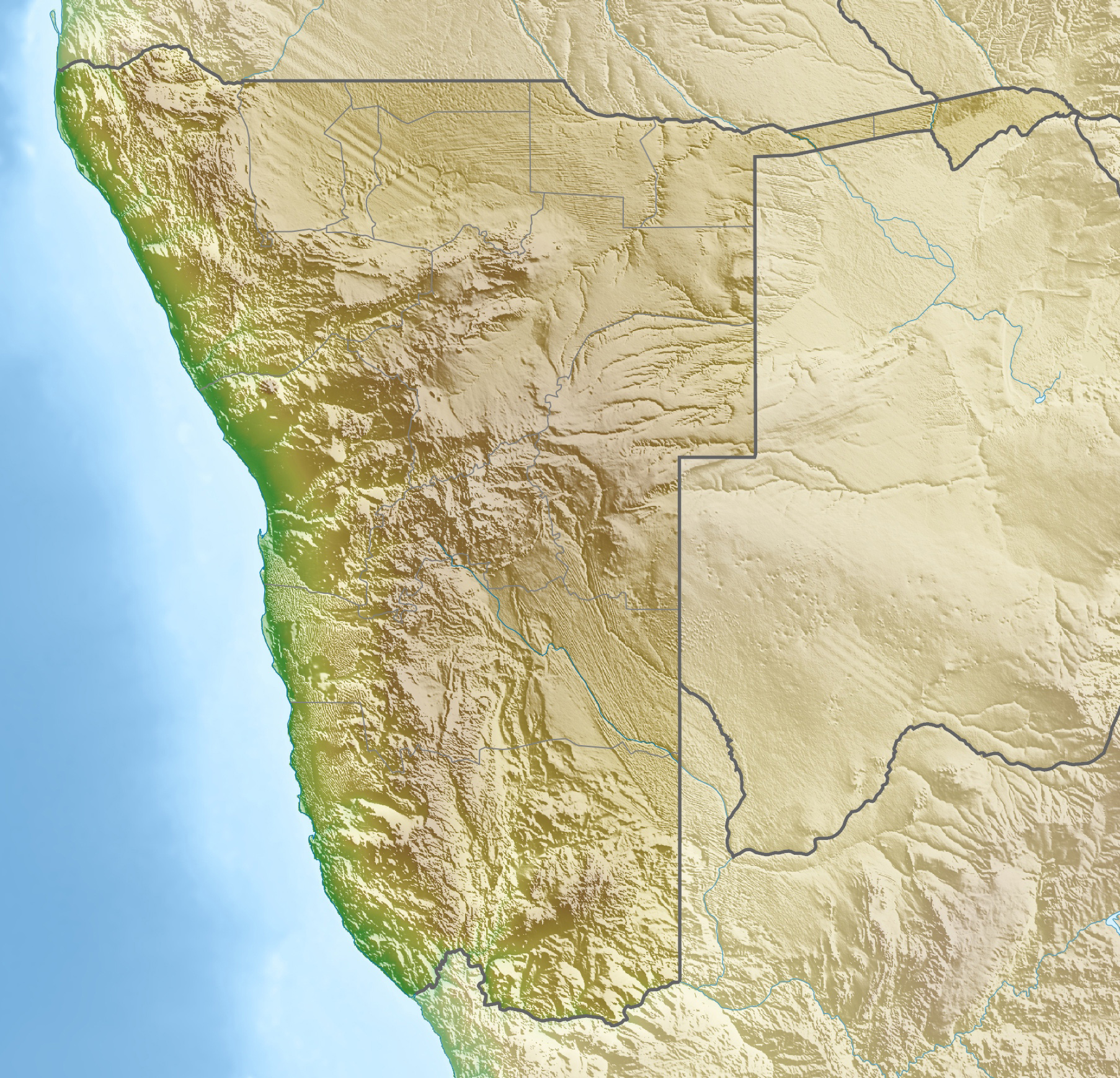
Deutsch: Physische Positionskarte von Namibia
Quadratische Plattkarte, N/S-Streckung 108 %. Geographische Begrenzung der Karte:
English: Physical location map of Namibia
Equirectangular projection, N/S streching 108 %. Geographic limits of the map:
|
||
| Date | |||
| Source | Travail personnel, using map data from administrative map by Uwe Dedering. The relief was created from SRTM-30 relief data | ||
| Auteur | Carport | ||
| Autorisation (Réutilisation de ce fichier) |
Ce fichier est disponible selon les termes de la licence Creative Commons Attribution – Partage dans les Mêmes Conditions 3.0 (non transposée).
Ce fichier est disponible selon les termes de la licence Creative Commons Attribution – Partage dans les Mêmes Conditions 3.0 Allemagne.

|
||
| Autres versions |
|


Historique du fichier
Cliquer sur une date et heure pour voir le fichier tel qu'il était à ce moment-là.
| Date et heure | Vignette | Dimensions | Utilisateur | Commentaire | |
|---|---|---|---|---|---|
| actuel | 12 octobre 2013 à 20:59 | | 1 806 × 1 739 (1,66 Mio) | NordNordWest | upd |
| 23 avril 2010 à 16:12 |  | 1 806 × 1 739 (1,46 Mio) | Carport | c | |
| 23 avril 2010 à 16:07 |  | 1 806 × 1 739 (1,46 Mio) | Carport | {{Information |Description={{de|Physische Positionskarte von {{w|Namibia|3=de}}}} Quadratische Plattkarte, N/S-Streckung 108 %. Geographische Begrenzung der Karte: * N: 16.4° S * S: 29.6° S * W: 11.0° O * O: 25.8° O {{en|Physical location map of {{w|N |
Utilisation du fichier
Les 50 pages suivantes utilisent ce fichier :
- Bataille de Mongua
- Bataille de Sandfontein
- Bataille de Waterberg
- Big Daddy (dune)
- Billstein (montagne)
- Chutes de Ruacana
- Cratère de Roter Kamm
- Côte des Squelettes
- Dune 45
- Désert du Namib
- Gibeon (météorite)
- Gisement de Koudou
- Gouffre du Souffle du Dragon
- Grotte Apollo 11
- Ichaboe
- Königstein (Namibie)
- Lac Guinas
- Lac Otjikoto
- Mine d'Uis
- Mine d'uranium de Husab
- Mine d'uranium de Rössing
- Mine d'uranium de Trekkopje
- Mine de Langer Heinrich
- Mine de Skorpion Zinc
- Monts Naukluft
- Météorite d'Hoba
- Parc national d'Etosha
- Parc national de Bwabwata
- Parc national de Dorob
- Parc national de Khaudom
- Parc national de Mangetti
- Parc national de Mudumu
- Parc national de Namib-Naukluft
- Parc national de Nkasa Rupara
- Parc national de Skeleton Coast
- Parc national de Sperrgebiet
- Parc national de Waterberg
- Parc naturel de Daan-Viljoen-Wildpark
- Parc transfrontalier du ǀAi-ǀAis/Richtersveld
- Sossusvlei
- Spitzkoppe
- Utilisateur:Roro400/Brouillon
- Modèle:Géolocalisation/Namibie
- Modèle:Géolocalisation/Namibie/Documentation
- Modèle:Infobox Désert
- Modèle:Infobox Désert/Documentation
- Projet:Cartographie/Géolocalisation/Maintenance/Images des pays
- Projet:Charte graphique/Apparence des Infobox/Archive
- Projet:Charte graphique/Domaine géographique
- Module:Carte/données/namibie
Usage global du fichier
Les autres wikis suivants utilisent ce fichier :
- Utilisation sur ar.wikipedia.org
- Utilisation sur ast.wikipedia.org
- Utilisation sur az.wikipedia.org
- Utilisation sur ban.wikipedia.org
- Utilisation sur ba.wikipedia.org
- Utilisation sur be.wikipedia.org
- Utilisation sur bg.wikipedia.org
- Виндхук
- Хардап (язовир)
- Мариентал
- Рихобот
- Катима Мулило
- Рунду
- Опуво
- Кетмансхоп
- Утапи
- Очиваронго
- Енхана
- Людериц
- Ондангва
- Ошиканго
- Малтахьое
- Гобабис
- Ониипа
- Шаблон:ПК Намибия
- Окакарара
- Карасбург
- Свакопмунд
- Ошакати
- Цумеб
- Уолфиш Бей
- Грутфонтейн
- Окаханджа
- Каманжаб
- Мамили
- Свакоп
- Колманскоп
- Каоко
- Дамара (планинска земя)
- Етоша (солончак)
Voir davantage sur l’utilisation globale de ce fichier.