Fichier:Monroe County (New York) - Towns, Villages, and City.svg

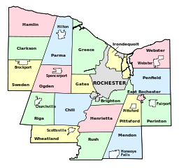
Taille de cet aperçu PNG pour ce fichier SVG : 640 × 600 pixels. Autres résolutions : 256 × 240 pixels | 819 × 768 pixels | 1 092 × 1 024 pixels | 2 185 × 2 048 pixels | 1 500 × 1 406 pixels.
Fichier d’origine (Fichier SVG, nominalement de 1 500 × 1 406 pixels, taille : 73 kio)
Ce fichier et sa description proviennent de Wikimedia Commons.
_-_Towns,_Villages,_and_City.svg?uselang=fr)
Description
| Description |
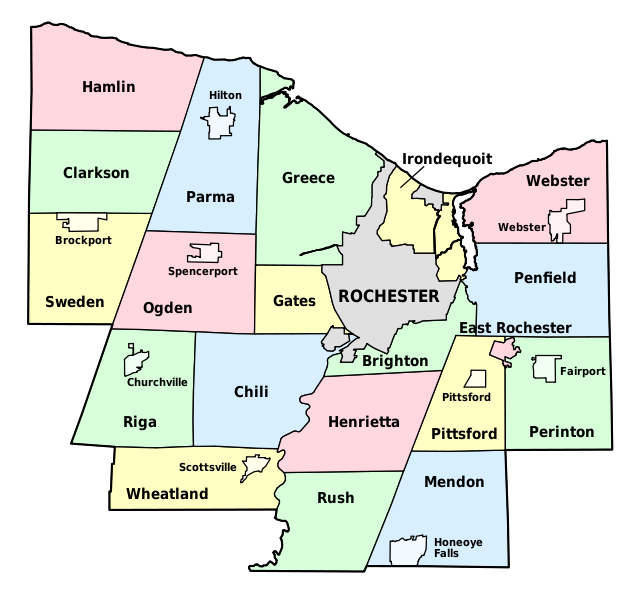
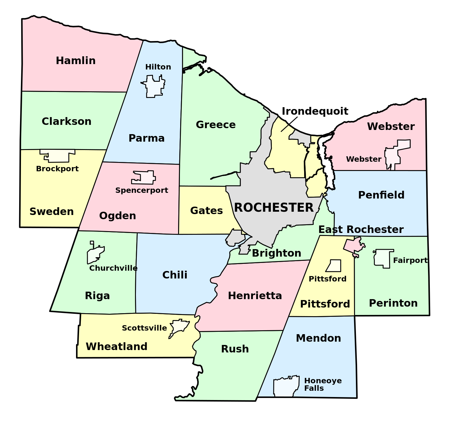
English: Map of Monroe County, New York, showing its constituent towns, villages, and city. Labels in English. |
| Date | |
| Source | Own work by uploader, based on public domain USGS topographic maps |
| Auteur | LtPowers |
Cette image vectorielle non W3C-spécifiée a été créée avec Inkscape .
Conditions d’utilisation
Moi, en tant que détenteur des droits d’auteur sur cette œuvre, je la publie sous la licence suivante :
Ce fichier est disponible selon les termes de la licence Creative Commons Attribution – Partage dans les Mêmes Conditions 3.0 (non transposée).
- Vous êtes libre :
- de partager – de copier, distribuer et transmettre cette œuvre
- d’adapter – de modifier cette œuvre
- Sous les conditions suivantes :
- paternité – Vous devez donner les informations appropriées concernant l'auteur, fournir un lien vers la licence et indiquer si des modifications ont été faites. Vous pouvez faire cela par tout moyen raisonnable, mais en aucune façon suggérant que l’auteur vous soutient ou approuve l’utilisation que vous en faites.
- partage à l’identique – Si vous modifiez, transformez, ou vous basez sur cette œuvre, vous devez distribuer votre contribution sous la même licence ou une licence compatible avec celle de l’original.
Historique du fichier
Cliquer sur une date et heure pour voir le fichier tel qu'il était à ce moment-là.
| Date et heure | Vignette | Dimensions | Utilisateur | Commentaire | |
|---|---|---|---|---|---|
| actuel | 30 novembre 2008 à 18:58 | | 1 500 × 1 406 (73 kio) | LtPowers | {{Information |Description={{en|1=Map of Monroe County, New York, showing its constituent towns, villages, and city. Labels in English.}} |Source=Own work by uploader, based on public domain USGS topographic maps |Author=[[U |
Utilisation du fichier
La page suivante utilise ce fichier :
Usage global du fichier
Les autres wikis suivants utilisent ce fichier :
- Utilisation sur en.wikipedia.org
- Monroe County, New York
- Irondequoit Bay State Marine Park
- Honeoye Creek
- University of Rochester Arboretum
- North Chili, New York
- Genesee Junction, New York
- Maplewood Park
- Gates Center, New York
- Cobbs Hill Reservoir
- Irondequoit Gully
- Black Creek Park
- Hart's Woods
- Template:MonroeCountyNY-geo-stub
- Adams Basin, New York
- Black Creek (Genesee River tributary)
- High Falls (Rochester, New York)
- Gates (CDP), New York
- Hamlin (CDP), New York
- Clarkson (CDP), New York
- Union Hill, New York
- North Greece, New York
- Utilisation sur es.wikipedia.org
- Utilisation sur ja.wikipedia.org
- Utilisation sur la.wikipedia.org
- Utilisation sur pt.wikipedia.org
- Utilisation sur www.wikidata.org
_-_Towns,_Villages,_and_City.svg)