Fichier:Missouri-Floyd Rivers Sioux City Iowa.jpg
Taille de cet aperçu : 800 × 533 pixels. Autres résolutions : 320 × 213 pixels | 640 × 427 pixels | 1 024 × 683 pixels | 1 500 × 1 000 pixels.
Fichier d’origine (1 500 × 1 000 pixels, taille du fichier : 711 kio, type MIME : image/jpeg)
Ce fichier et sa description proviennent de Wikimedia Commons.
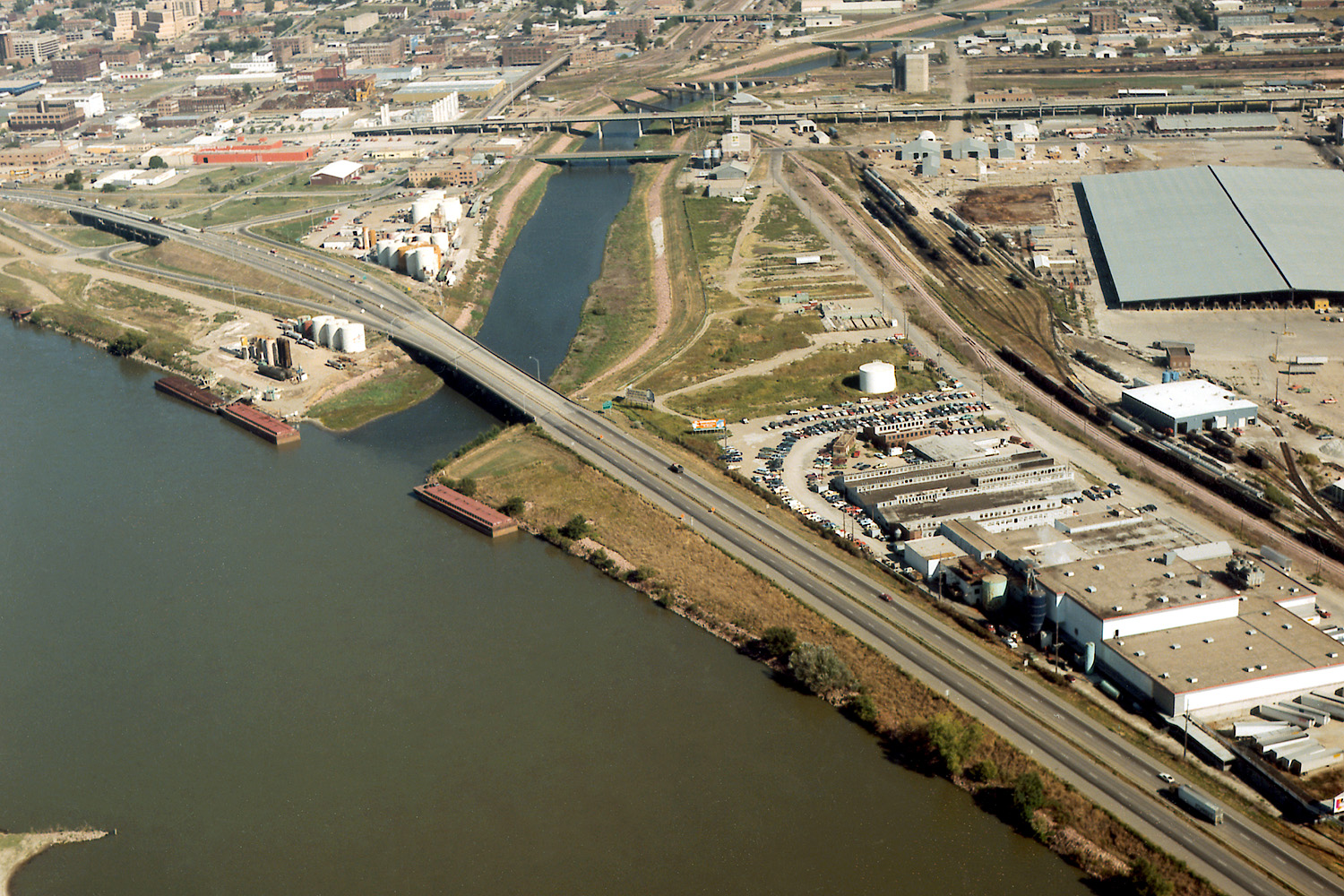
| Description | Aerial view of Sioux City, Iowa, USA, at the confluence of the Missouri and Floyd Rivers. Interstate-29 crosses the mouth of the Floyd River. | |||
| Lieu | Sioux City, Iowa, USA 42°28′58.75″N 96°23′29.44″W / 42.4829861°N 96.3915111°W |
|||
| Date | not specified | |||
| Source |
U.S. Army Corps of Engineers Digital Visual Library Image page Image description page Digital Visual Library home page |
|||
| Auteur | Robert Etzel, U.S. Army Corps of Engineers | |||
| Autorisation (Réutilisation de ce fichier) |
|
Historique du fichier
Cliquer sur une date et heure pour voir le fichier tel qu'il était à ce moment-là.
| Date et heure | Vignette | Dimensions | Utilisateur | Commentaire | |
|---|---|---|---|---|---|
| actuel | 19 mars 2007 à 06:23 | | 1 500 × 1 000 (711 kio) | DanMS | {{Information | Description = Aerial view of Sioux City, Iowa, USA, at the confluence of the Missouri and Floyd Rivers. Interstate-29 crosses the mouth of the Floyd River. | Source = U.S. Army Corps of Engineers Digital Visual Library<br />[http://im |
Utilisation du fichier
Les 3 pages suivantes utilisent ce fichier :
Usage global du fichier
Les autres wikis suivants utilisent ce fichier :
- Utilisation sur arz.wikipedia.org
- Utilisation sur ast.wikipedia.org
- Utilisation sur ceb.wikipedia.org
- Utilisation sur de.wikipedia.org
- Utilisation sur en.wikipedia.org
- Utilisation sur es.wikipedia.org
- Utilisation sur fa.wikipedia.org
- Utilisation sur gl.wikipedia.org
- Utilisation sur incubator.wikimedia.org
- Utilisation sur ja.wikipedia.org
- Utilisation sur mr.wikipedia.org
- Utilisation sur pt.wikipedia.org
- Utilisation sur ru.wikipedia.org
- Utilisation sur ta.wikipedia.org
- Utilisation sur uk.wikipedia.org
- Utilisation sur www.wikidata.org