Fichier:Locator map of the Union of South Africa.svg

Taille de cet aperçu PNG pour ce fichier SVG : 800 × 400 pixels. Autres résolutions : 320 × 160 pixels | 640 × 320 pixels | 1 024 × 512 pixels | 1 280 × 640 pixels | 2 560 × 1 280 pixels | 1 000 × 500 pixels.
Fichier d’origine (Fichier SVG, nominalement de 1 000 × 500 pixels, taille : 2,76 Mio)
Ce fichier et sa description proviennent de Wikimedia Commons.
Description
| Description |
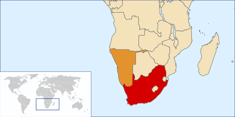
English: Location of the Union of South Africa, 1915-1961 |
| Source | Own work by uploader based on File:LocationSouthAfrica.svg |
| Auteur | Seb az86556 |
Conditions d’utilisation
Moi, en tant que détenteur des droits d’auteur sur cette œuvre, je la publie sous la licence suivante :
Ce fichier est disponible selon les termes de la licence Creative Commons Attribution 3.0 Non transposée.
- Vous êtes libre :
- de partager – de copier, distribuer et transmettre cette œuvre
- d’adapter – de modifier cette œuvre
- Sous les conditions suivantes :
- paternité – Vous devez donner les informations appropriées concernant l'auteur, fournir un lien vers la licence et indiquer si des modifications ont été faites. Vous pouvez faire cela par tout moyen raisonnable, mais en aucune façon suggérant que l’auteur vous soutient ou approuve l’utilisation que vous en faites.
Historique du fichier
Cliquer sur une date et heure pour voir le fichier tel qu'il était à ce moment-là.
| Date et heure | Vignette | Dimensions | Utilisateur | Commentaire | |
|---|---|---|---|---|---|
| actuel | 19 juin 2010 à 23:38 | | 1 000 × 500 (2,76 Mio) | Seb az86556 | show SWA as contested area |
| 27 juillet 2009 à 21:34 |  | 1 000 × 500 (2,76 Mio) | Seb az86556 | {{Information |Description={{en|1=Location of the Union of South Africa, 1910-1961}} |Source=Own work by uploader based on File:LocationSouthAfrica.svg |Author=Seb az86556 |Date= |Permission= |other_versions= }} [[Category:Maps |
Utilisation du fichier
Aucune page n’utilise ce fichier.
Usage global du fichier
Les autres wikis suivants utilisent ce fichier :
- Utilisation sur en.wikipedia.org
- Utilisation sur he.wikipedia.org
- Utilisation sur hy.wikipedia.org
- Utilisation sur zh.wikipedia.org