Fichier:Han Dynasty Plain map.PNG
Taille de cet aperçu : 800 × 352 pixels. Autres résolutions : 320 × 141 pixels | 640 × 282 pixels | 1 427 × 628 pixels.
Fichier d’origine (1 427 × 628 pixels, taille du fichier : 48 kio, type MIME : image/png)
Ce fichier et sa description proviennent de Wikimedia Commons.
Description
| Description |
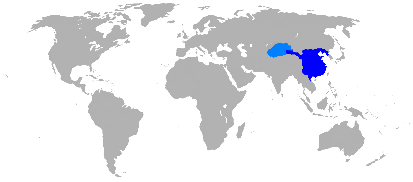
English: Map of Han Dynasty in 2 CE.
|
| Date | |
| Source | Self Made, copied map from page 63 of the book Mapping History: World History (London: Cartographica, 2007), by Dr. Ian Barnes. ISBN 978-1-84573-323-0 |
| Auteur | User:Historian of the arab people |
Conditions d’utilisation
| Moi, propriétaire des droits d’auteur sur cette œuvre, la place dans le domaine public. Ceci s'applique dans le monde entier. Dans certains pays, ceci peut ne pas être possible ; dans ce cas : J’accorde à toute personne le droit d’utiliser cette œuvre dans n’importe quel but, sans aucune condition, sauf celles requises par la loi. |
Historique du fichier
Cliquer sur une date et heure pour voir le fichier tel qu'il était à ce moment-là.
| Date et heure | Vignette | Dimensions | Utilisateur | Commentaire | |
|---|---|---|---|---|---|
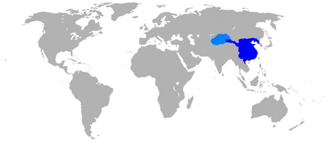
| actuel | 26 avril 2016 à 16:37 | | 1 427 × 628 (48 kio) | Garam | Clear (* ref: File:China Han Dynasty 1.jpg and File:Hangunhyeon.PNG) |
| 30 octobre 2008 à 01:58 |  | 1 427 × 628 (59 kio) | Historian of the arab people | {{Information |Description={{en|1=Map of Han dynasty, 2 AD Darkest blue is the commandaries and principalities of the Han Empire, light blue is the Tarim Basin protectorate}} |Source=Self Made, copied map from page 63 of the book, "MAPPING HISTORY WORLD H |
Utilisation du fichier
Aucune page n’utilise ce fichier.
Usage global du fichier
Les autres wikis suivants utilisent ce fichier :
- Utilisation sur ar.wikipedia.org
- Utilisation sur as.wikipedia.org
- Utilisation sur azb.wikipedia.org
- Utilisation sur de.wikipedia.org
- Utilisation sur en.wikipedia.org
- Utilisation sur et.wikipedia.org
- Utilisation sur fi.wikipedia.org
- Utilisation sur fo.wikipedia.org
- Utilisation sur he.wikipedia.org
- Utilisation sur id.wikipedia.org
- Utilisation sur pnb.wikipedia.org
- Utilisation sur sco.wikipedia.org
- Utilisation sur ur.wikipedia.org