Fichier:Florida US Congressional District 2 (since 2013).tif

Taille de cet aperçu PNG pour ce fichier TIF : 800 × 364 pixels. Autres résolutions : 320 × 146 pixels | 640 × 291 pixels | 1 024 × 466 pixels | 2 150 × 978 pixels.
Fichier d’origine (2 150 × 978 pixels, taille du fichier : 2,1 Mio, type MIME : image/tiff)
Ce fichier et sa description proviennent de Wikimedia Commons.
Description
| Description |
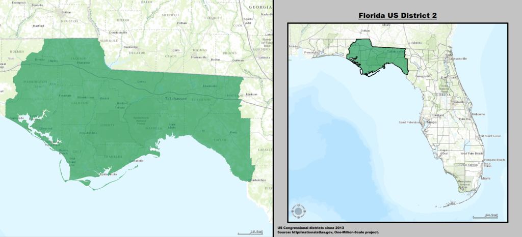
English: Boundaries for Florida's 2nd US Federal Congressional District. |
| Date | |
| Source | GIS shapefile data created by the United States Department of the Interior, as part of the "1 Million Scale" geospatial data project. Retrieved from: http://nationalatlas.gov/atlasftp-1m.html?openChapters=#chpbound |
| Auteur | GIS (congressional districts, 2013) shapefile data was created by the United States Department of the Interior. 2: Data was rendered using ArcGIS® software by Esri. 3: File developed for use on Wikipedia and elsewhere by 7partparadigm. |
Conditions d’utilisation
Cette carte a été obtenue d'une édition du
National Atlas of the United States . Comme presque toutes les œuvres du gouvernement fédéral des États-Unis d'Amérique, les travaux du National Atlas sont placés dans le domaine public.Version en ligne : NationalAtlas.gov | Édition imprimée de 1970 : Library of Congress, Perry-Castañeda Library
|
Historique du fichier
Cliquer sur une date et heure pour voir le fichier tel qu'il était à ce moment-là.
| Date et heure | Vignette | Dimensions | Utilisateur | Commentaire | |
|---|---|---|---|---|---|
| actuel | 16 mars 2014 à 05:14 |  | 2 150 × 978 (2,1 Mio) | 7partparadigm | User created page with UploadWizard |
Utilisation du fichier
La page suivante utilise ce fichier :
Usage global du fichier
Les autres wikis suivants utilisent ce fichier :
- Utilisation sur en.wikipedia.org
- Utilisation sur hu.wikipedia.org