Fichier:Canada Exclusive Economic Zone.PNG

Taille de cet aperçu : 800 × 391 pixels. Autres résolutions : 320 × 156 pixels | 640 × 313 pixels | 1 024 × 501 pixels | 1 280 × 626 pixels | 2 410 × 1 178 pixels.
Fichier d’origine (2 410 × 1 178 pixels, taille du fichier : 155 kio, type MIME : image/png)
Ce fichier et sa description proviennent de Wikimedia Commons.

|
Cette image (de type economic map) devrait être recréée dans un format vectoriel, en tant que fichier SVG. Cela offrirait plusieurs avantages : voir Commons:Media for cleanup pour plus d'informations. Si une version SVG de cette image est déjà disponible, merci de bien vouloir l'envoyer. Après cela, remplacez ce modèle par {{vector version available|nouveau nom d'image.svg}}.
|
Description
| Description |
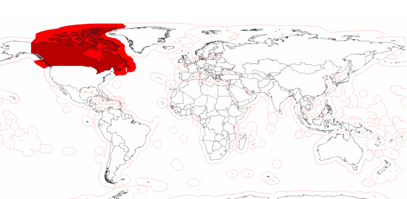
English: Canada's Exclusive Economic Zones. |
| Date | |
| Source | Travail personnel |
| Auteur | Pyrophobe |
Conditions d’utilisation
| Moi, propriétaire des droits d’auteur sur cette œuvre, la place dans le domaine public. Ceci s'applique dans le monde entier. Dans certains pays, ceci peut ne pas être possible ; dans ce cas : J’accorde à toute personne le droit d’utiliser cette œuvre dans n’importe quel but, sans aucune condition, sauf celles requises par la loi. |
Historique du fichier
Cliquer sur une date et heure pour voir le fichier tel qu'il était à ce moment-là.
| Date et heure | Vignette | Dimensions | Utilisateur | Commentaire | |
|---|---|---|---|---|---|
| actuel | 25 juillet 2020 à 16:56 | | 2 410 × 1 178 (155 kio) | Maphobbyist | Added the borders of South Sudan and Montengro, and the Sea of Okhotsk is now wholly within the Russian EEZ. |
| 4 mai 2009 à 22:15 |  | 2 410 × 1 178 (182 kio) | Pyrophobe | {{Information |Description={{en|1=Canadas's Exclusive Economic Zones. }} |Source=Own work by uploader |Author=Pyrophobe |Date=2009/05/04 |Permission= |other_versions= }} <!--{{ImageUpload|full}}--> |
Utilisation du fichier
La page suivante utilise ce fichier :
Usage global du fichier
Les autres wikis suivants utilisent ce fichier :
- Utilisation sur af.wikipedia.org
- Utilisation sur en.wikipedia.org
- Utilisation sur he.wikipedia.org
- Utilisation sur kn.wikipedia.org
- Utilisation sur pt.wikipedia.org
- Utilisation sur sk.wikipedia.org
- Utilisation sur th.wikipedia.org