Fichier:Bruce—Grey—Owen Sound.png
Taille de cet aperçu : 476 × 599 pixels. Autres résolutions : 191 × 240 pixels | 381 × 480 pixels | 682 × 858 pixels.
Fichier d’origine (682 × 858 pixels, taille du fichier : 79 kio, type MIME : image/png)
Ce fichier et sa description proviennent de Wikimedia Commons.
Description
| Description |
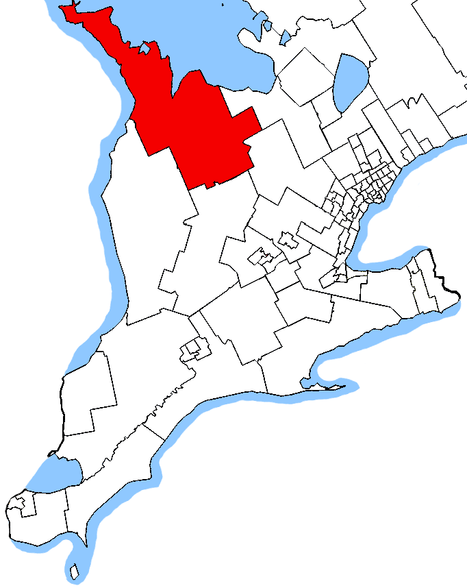
English: Map of the Bruce—Grey—Owen Sound electoral district. Based on Earl Andrew's maps, created by SimonP. |
| Date | 23 octobre 2005 (date de téléversement originale) |
| Source | Travail personnel |
| Auteur | SimonP sur Wikipédia anglais |
Conditions d’utilisation
| Cette œuvre a été placée dans le domaine public par son auteur, SimonP sur Wikipédia anglais. Ceci s’applique dans le monde entier. Dans certains pays, ceci peut ne pas être possible ; dans ce cas : SimonP accorde à toute personne le droit d’utiliser cette œuvre dans n’importe quel but, sans aucune condition, sauf celles requises par la loi. |
Journal des téléversements d’origine
La page de description originale était ici. Tous les noms d'utilisateur qui suivent se rapportent à en.wikipedia.
- 2005-10-23 02:20 SimonP 1046×1215 (34272 bytes) Map of the [[Bruce—Grey—Owen Sound]] electoral district. Based on [[User:Earl Andrew|]]'s [[User:Earl Andrew/maps|maps]], created by ~~~.
Historique du fichier
Cliquer sur une date et heure pour voir le fichier tel qu'il était à ce moment-là.
| Date et heure | Vignette | Dimensions | Utilisateur | Commentaire | |
|---|---|---|---|---|---|
| actuel | 24 octobre 2015 à 06:50 | | 682 × 858 (79 kio) | Djvarley | New map to reflect new boundaries of electoral districts after the 42nd Canadian general election on October 19, 2015. The boundaries of Bruce—Grey—Owen Sound itself were not changed. |
| 25 décembre 2011 à 15:11 |  | 1 046 × 1 215 (33 kio) | MGA73bot2 | {{BotMoveToCommons|en.wikipedia|year={{subst:CURRENTYEAR}}|month={{subst:CURRENTMONTHNAME}}|day={{subst:CURRENTDAY}}}} == {{int:filedesc}} == {{Information |description={{en|1=Map of the Bruce—Grey—Owen Sound elector |
Utilisation du fichier
Les 2 pages suivantes utilisent ce fichier :
Usage global du fichier
Les autres wikis suivants utilisent ce fichier :
- Utilisation sur en.wikipedia.org
- Utilisation sur simple.wikipedia.org
- Utilisation sur www.wikidata.org