Fichier:Winfrith - geograph.org.uk - 294818.jpg
Pas de plus haute résolution disponible.
Winfrith_-_geograph.org.uk_-_294818.jpg (600 × 450 pixels, taille du fichier : 82 kio, type MIME : image/jpeg)
Ce fichier et sa description proviennent de Wikimedia Commons.
Description
| Description |
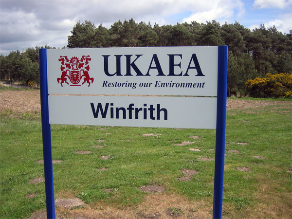
English: Winfrith UKAEA has been restoring Winfriths environment since the early 1990s. Around half of the civil nuclear research site has already been released for commercial use, and decommissioning will be fully complete by 2020, when Winfrith will become the UKs first major nuclear site to be fully decommissioned.
Be warned that photography of the site is not permitted. I was pounced on by security and after deleting pictures I had already taken, was able to negotiate this shot. Security at Winfrith is provided by the Civil Nuclear Constabulary, an armed police force that specialises in the protection of nuclear materials http://www.ukaea.org.uk/sites/winfrith_site_info.htm |
| Date | |
| Source | From geograph.org.uk |
| Auteur | John Lamper |
| Attribution (imposé par la licence) | John Lamper / Winfrith / |
| Position de l'objet | | Voir cet endroit et d’autres images sur : OpenStreetMap |
|---|
_heading:270.00&language=fr)
Conditions d’utilisation

|
Cette image provient de la collection du projet Geograph British Isles. Pour obtenir les coordonnées du photographe, veuillez consulter cette page de description de l'image sur le site du projet. Les droits d'auteurs sur cette image sont détenus par John Lamper ; l'image est placée sous une licence Creative Commons avec mention de paternité et partage à l'identique (CC-By-SA) en version 2.0.
|
Ce fichier est disponible selon les termes de la licence Creative Commons Attribution – Partage dans les Mêmes Conditions 2.0 Générique
Attribution: John Lamper
- Vous êtes libre :
- de partager – de copier, distribuer et transmettre cette œuvre
- d’adapter – de modifier cette œuvre
- Sous les conditions suivantes :
- paternité – Vous devez donner les informations appropriées concernant l'auteur, fournir un lien vers la licence et indiquer si des modifications ont été faites. Vous pouvez faire cela par tout moyen raisonnable, mais en aucune façon suggérant que l’auteur vous soutient ou approuve l’utilisation que vous en faites.
- partage à l’identique – Si vous modifiez, transformez, ou vous basez sur cette œuvre, vous devez distribuer votre contribution sous la même licence ou une licence compatible avec celle de l’original.
Historique du fichier
Cliquer sur une date et heure pour voir le fichier tel qu'il était à ce moment-là.
| Date et heure | Vignette | Dimensions | Utilisateur | Commentaire | |
|---|---|---|---|---|---|
| actuel | 15 décembre 2010 à 00:20 | | 600 × 450 (82 kio) | GeographBot | == {{int:filedesc}} == {{Information |description={{en|1=Winfrith UKAEA has been restoring Winfriths environment since the early 1990s. Around half of the civil nuclear research site has already been released for commercial use, and decommissioning will |
Utilisation du fichier
Les 2 pages suivantes utilisent ce fichier :
Usage global du fichier
Les autres wikis suivants utilisent ce fichier :
- Utilisation sur cs.wikipedia.org
- Utilisation sur en.wikipedia.org
- Utilisation sur no.wikipedia.org
- Utilisation sur www.wikidata.org