Fichier:WalesLocal2013.png

Taille de cet aperçu : 533 × 599 pixels. Autres résolutions : 213 × 240 pixels | 427 × 480 pixels | 882 × 992 pixels.
Fichier d’origine (882 × 992 pixels, taille du fichier : 19 kio, type MIME : image/png)
Ce fichier et sa description proviennent de Wikimedia Commons.
| Description |
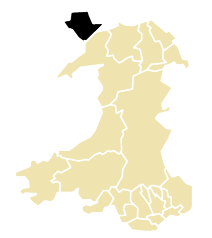
This is a map of the result of the 2013 local elections in Wales. This map shows all 22 unitary authorities. Elections were only held on Angelsey; it is colour-coded by their status after the election. Key: No election held |
| Date | |
| Source | Morwen's blank map of Wales; data is from the BBC |
| Auteur | Hoshie |

|
Vous avez la permission de copier, distribuer et modifier ce document selon les termes de la GNU Free Documentation License version 1.2 ou toute version ultérieure publiée par la Free Software Foundation, sans sections inaltérables, sans texte de première page de couverture et sans texte de dernière page de couverture. Un exemplaire de la licence est inclus dans la section intitulée GNU Free Documentation License. |
Historique du fichier
Cliquer sur une date et heure pour voir le fichier tel qu'il était à ce moment-là.
| Date et heure | Vignette | Dimensions | Utilisateur | Commentaire | |
|---|---|---|---|---|---|
| actuel | 17 mai 2013 à 10:04 | | 882 × 992 (19 kio) | Hoshie | {{Information |Description=This is a map of the result of the 2013 local elections in Wales. This map shows all 22 unitary authorities. Elections were only held on Angelsey; it is colour-coded by their status after the election. '''Key:''' {{legend|#... |
Utilisation du fichier
La page suivante utilise ce fichier :
Usage global du fichier
Les autres wikis suivants utilisent ce fichier :
- Utilisation sur en.wikipedia.org