Fichier:TruroFalmouth2007Constituency.svg

Taille de cet aperçu PNG pour ce fichier SVG : 207 × 193 pixels. Autres résolutions : 257 × 240 pixels | 515 × 480 pixels | 824 × 768 pixels | 1 098 × 1 024 pixels | 2 197 × 2 048 pixels.
Fichier d’origine (Fichier SVG, nominalement de 207 × 193 pixels, taille : 155 kio)
Ce fichier et sa description proviennent de Wikimedia Commons.
Description
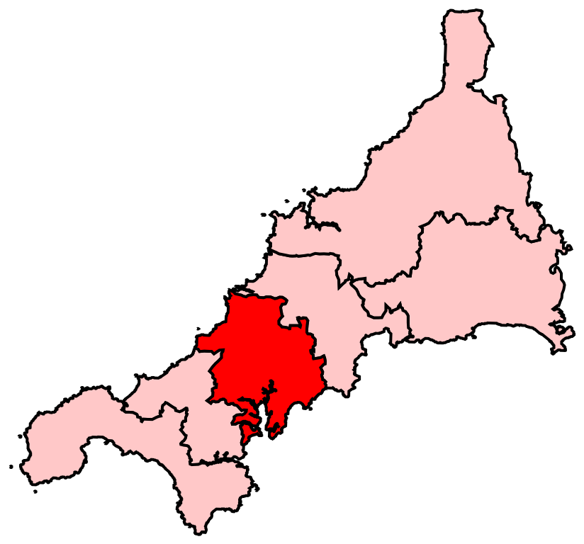
| Description | Map of the new UK Parliament constituency of Truro and Falmouth. |
| Date | 17 juin 2008 (date de téléversement originale) |
| Source | La source n’a pas pu être reconnue automatiquement. « Travail personnel » supposé (étant donné la revendication de droit d’auteur). |
| Auteur | L’auteur n’a pas pu être identifié automatiquement. Il est supposé qu'il s'agit de : Wereon (étant donné la revendication de droit d’auteur). |
Conditions d’utilisation
| Moi, propriétaire des droits d’auteur sur cette œuvre, la place dans le domaine public. Ceci s'applique dans le monde entier. Dans certains pays, ceci peut ne pas être possible ; dans ce cas : J’accorde à toute personne le droit d’utiliser cette œuvre dans n’importe quel but, sans aucune condition, sauf celles requises par la loi. |
Historique du fichier
Cliquer sur une date et heure pour voir le fichier tel qu'il était à ce moment-là.
| Date et heure | Vignette | Dimensions | Utilisateur | Commentaire | |
|---|---|---|---|---|---|
| actuel | 17 juin 2008 à 02:15 | | 207 × 193 (155 kio) | Wereon | == Summary == Map of the new UK Parliament constituency of Truro and Falmouth. == Licensing == {{PD-self}} Category:Locator maps of parliamentary constituencies of Cornwall {{ImageUpload|basic}} |
Utilisation du fichier
Les 3 pages suivantes utilisent ce fichier :
Usage global du fichier
Les autres wikis suivants utilisent ce fichier :
- Utilisation sur cy.wikipedia.org
- Utilisation sur en.wikipedia.org
- Truro
- Falmouth, Cornwall
- Veryan
- Penryn, Cornwall
- List of parliamentary constituencies in Cornwall
- Chacewater
- Tregony
- Truro and Falmouth (UK Parliament constituency)
- St Agnes, Cornwall
- Perranarworthal
- St Newlyn East
- St Michael Penkevil
- Cuby, Cornwall
- Feock, Cornwall
- Kenwyn
- Ladock
- Mylor, Cornwall
- Perranzabuloe
- St Allen
- Cubert
- Gerrans
- Gwennap
- Kea, Cornwall
- Philleigh
- Ruan Lanihorne
- St Clement, Cornwall
- St Erme
- Probus, Cornwall
- St Just in Roseland
- Wikipedia:WikiProject Cornwall
- Wikipedia:WikiProject Cornwall/Templates
- Wikipedia talk:WikiProject Cornwall/Archive 3
- Parliamentary constituencies in South West England
- User:Zangar/Gritbox
- User:Zangar/Sandbox1
- Template:Truro and Falmouth CP navigation box
- User:CeciliaBastianelli/sandbox/Aberchester
- Utilisation sur it.wikipedia.org
- Utilisation sur zh.wikipedia.org