Fichier:Trinidad and Tobago rel location map.svg

Fichier d’origine (Fichier SVG, nominalement de 780 × 756 pixels, taille : 143 kio)
Ce fichier et sa description proviennent de Wikimedia Commons.
Description
| Description |
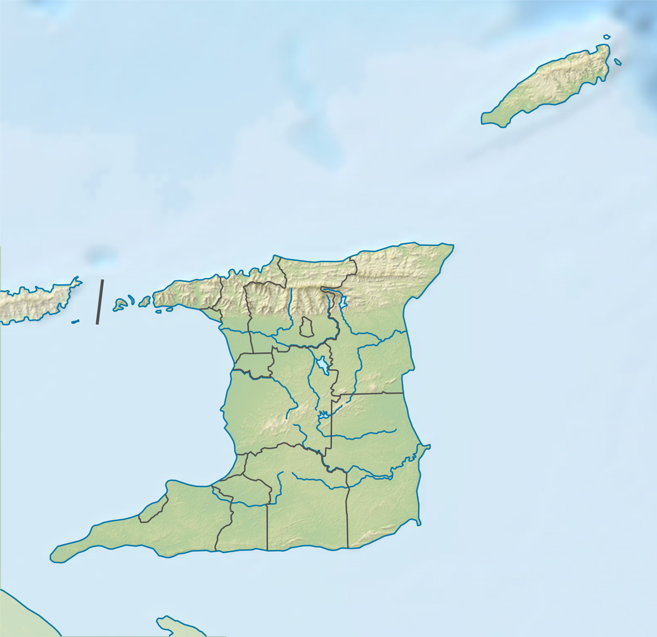
Deutsch: Positionskarte von Trinidad und Tobago
English: Location map of Trinidad and Tobago
|
||||||||||||
| Date | |||||||||||||
| Source |
Travail personnel avec:
|
||||||||||||
| Auteur | NordNordWest | ||||||||||||
| Autres versions |
|
||||||||||||


|
Cette carte a été créée ou améliorée dans le Kartenwerkstatt (Atelier cartographique allemand). Vous pouvez également y proposer des cartes à améliorer.
|
Conditions d’utilisation
Usage de cette carte :

Pour un usage gratuit, je recommande de respecter les conditions suivantes de la licence :
1. Inclure mon nom comme indiqué ci-dessus : NordNordWest,
2. une copie ou l'adresse Internet (Identifiant Uniforme de Ressource) du contrat : https://creativecommons.org/licenses/by-sa/3.0/de/legalcode,
3. le titre de l’œuvre originale,
4. dans le cas d'une œuvre dérivée, indiquer les éléments identifiant l'utilisation de l’œuvre dite dérivée.
En cas de manquement aux conditions de la licence, les droits d'utilisation expirent automatiquement. Si vous avez des questions ou désirez des conditions différentes, merci de me contacter par courriel à l'adresse nnwest, ou sur ma page de discussion.
![]() t-online.de
t-online.de
- Vous êtes libre :
- de partager – de copier, distribuer et transmettre cette œuvre
- d’adapter – de modifier cette œuvre
- Sous les conditions suivantes :
- paternité – Vous devez donner les informations appropriées concernant l'auteur, fournir un lien vers la licence et indiquer si des modifications ont été faites. Vous pouvez faire cela par tout moyen raisonnable, mais en aucune façon suggérant que l’auteur vous soutient ou approuve l’utilisation que vous en faites.
- partage à l’identique – Si vous modifiez, transformez, ou vous basez sur cette œuvre, vous devez distribuer votre contribution sous la même licence ou une licence compatible avec celle de l’original.

Historique du fichier
Cliquer sur une date et heure pour voir le fichier tel qu'il était à ce moment-là.
| Date et heure | Vignette | Dimensions | Utilisateur | Commentaire | |
|---|---|---|---|---|---|
| actuel | 10 juillet 2016 à 20:45 | | 780 × 756 (143 kio) | NordNordWest | c |
| 10 juillet 2016 à 20:42 |  | 780 × 756 (141 kio) | NordNordWest | == {{int:filedesc}} == {{Information |Description= {{de|1=Positionskarte von Trinidad und Tobago}} {{en|1=Location map of Trinidad and Tobago}} {{Location map series N |stretching=– |top=11.45 |bottom=9.85 |left=-62.05 |right=-60.4 }} |Source={{Own u... |
Utilisation du fichier
Les 17 pages suivantes utilisent ce fichier :
- Bataille de Tabago
- Caledonia (Trinité-et-Tobago)
- Cerro del Aripo
- Chacachacare
- Cinq Îles
- El Tucuche
- Gaspar Grande
- Isla de Patos
- Monos
- Pelican (Trinité-et-Tobago)
- Petite Tobago
- Saut d'Eau (Trinité-et-Tobago)
- Tobago
- Trinité (île)
- Modèle:Géolocalisation/Trinité-et-Tobago
- Modèle:Géolocalisation/Trinité-et-Tobago/Documentation
- Projet:Cartographie/Géolocalisation/Maintenance/Images des pays
Usage global du fichier
Les autres wikis suivants utilisent ce fichier :
- Utilisation sur als.wikipedia.org
- Utilisation sur ast.wikipedia.org
- Utilisation sur az.wikipedia.org
- Utilisation sur bg.wikipedia.org
- Utilisation sur bn.wikipedia.org
- Utilisation sur da.wikipedia.org
- Utilisation sur de.wikipedia.org
- Trinidad und Tobago
- Tobago
- Scarborough (Trinidad und Tobago)
- Vorlage:Positionskarte Trinidad und Tobago
- Wikipedia:Kartenwerkstatt/Positionskarten/Nordamerika
- Tamana (Berg)
- Cerro del Aripo
- Chacachacare
- Fort San Andres
- Monos (Insel)
- La Brea (Trinidad und Tobago)
- Fort George (Trinidad)
- Bocas Islands
- Gaspar Grande
- St. Joseph (Trinidad und Tobago)
- Little Gasparee
- Benutzer:TaxonBot/Spielwiese
- El Tucuche
- Cronstadt Island
- Carrera Island
- Rio Claro (Trinidad und Tobago)
- Benutzer:Grueslayer/Workroom
- Santa Cruz (Trinidad und Tobago)
- Moruga
- Utilisation sur en.wikipedia.org
- Columbus Channel
- El Cerro del Aripo
- Caroni River (Trinidad and Tobago)
- Bocas del Dragón
- Delaware Bank
- El Tucuche
- Hollis Reservoir
- Caroni–Arena Dam
- Hillsborough Reservoir
- Module:Location map/data/Trinidad and Tobago/doc
- Older Parian Group
- Bacolet Formation
- Tobago Volcanic Group
- Manzanilla Formation
- Matura Formation
- Morne l'Enfer Formation
Voir davantage sur l’utilisation globale de ce fichier.