Fichier:Tower Hamlets London UK location map.svg

Taille de cet aperçu PNG pour ce fichier SVG : 536 × 600 pixels. Autres résolutions : 214 × 240 pixels | 429 × 480 pixels | 686 × 768 pixels | 915 × 1 024 pixels | 1 830 × 2 048 pixels | 1 131 × 1 266 pixels.
Fichier d’origine (Fichier SVG, nominalement de 1 131 × 1 266 pixels, taille : 2,49 Mio)
Ce fichier et sa description proviennent de Wikimedia Commons.
| Description |
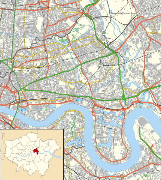
Location map of the London Borough of Tower Hamlets with the following information shown:
Equirectangular map projection on WGS 84 datum, with N/S stretched 160% Geographic limits:
|
| Date | |
| Source |
|
| Auteur | Nilfanion |
| Autorisation (Réutilisation de ce fichier) |
Ce fichier est disponible selon les termes de la licence Creative Commons Attribution – Partage dans les Mêmes Conditions 3.0 (non transposée). Attribution: Contains Ordnance Survey data © Crown copyright and database right
|
Historique du fichier
Cliquer sur une date et heure pour voir le fichier tel qu'il était à ce moment-là.
| Date et heure | Vignette | Dimensions | Utilisateur | Commentaire | |
|---|---|---|---|---|---|
| actuel | 16 novembre 2011 à 01:21 | | 1 131 × 1 266 (2,49 Mio) | Nilfanion | {{Information |Description=Location map of the London Borough of Tower Hamlets with the following information shown: *{{legend|#646464|Ward boundaries}} *{{legend|#667fff|Motorways}} *{{legend|#4cb336|Primary routes}} |
Utilisation du fichier
La page suivante utilise ce fichier :
Usage global du fichier
Les autres wikis suivants utilisent ce fichier :
- Utilisation sur ar.wikipedia.org
- Utilisation sur azb.wikipedia.org
- Utilisation sur ceb.wikipedia.org
- Utilisation sur en.wikipedia.org
- London Borough of Tower Hamlets
- Westferry DLR station
- Heron Quays DLR station
- Oranges and Lemons
- West India Docks
- Limehouse Town Hall
- Blackwall, London
- Limehouse Cut
- Canary Wharf DLR station
- Royal London Hospital
- Canada Square
- Poplar DLR station
- West India Quay DLR station
- East India DLR station
- Blackwall DLR station
- Commercial Road
- St Clement's Hospital
- All Saints DLR station
- Mile End Stadium
- Bow Church DLR station
- Millwall Dock
- Museum of London Docklands
- The Blind Beggar
- Young V&A
- The Grapes, Limehouse
- East India Docks
- Queen Elizabeth Hospital for Children
- Burdett Road railway station
- 1996 Docklands bombing
- Canary Wharf Pier
- Fieldgate Street Great Synagogue
- Masthouse Terrace Pier
- London Chest Hospital
- Mile End Hospital
- Canary Riverside Plaza
- Module:Location map/data/United Kingdom London Tower Hamlets/doc
- Chisenhale Gallery
- The Joiners Arms
- The Gun, Coldharbour
- Frank Dobson Square
- Module:Location map/data/United Kingdom London Tower Hamlets
- East India Dock Road
- Mulberry Place
- Bethnal Green Town Hall
- Poplar Town Hall
- St George's Town Hall
- Oliver's Wharf
Voir davantage sur l’utilisation globale de ce fichier.