Fichier:Togdheer location relief map.svg

Taille de cet aperçu PNG pour ce fichier SVG : 521 × 599 pixels. Autres résolutions : 209 × 240 pixels | 417 × 480 pixels | 668 × 768 pixels | 891 × 1 024 pixels | 1 781 × 2 048 pixels | 528 × 607 pixels.
Fichier d’origine (Fichier SVG, nominalement de 528 × 607 pixels, taille : 456 kio)
Ce fichier et sa description proviennent de Wikimedia Commons.
Description
| Description |
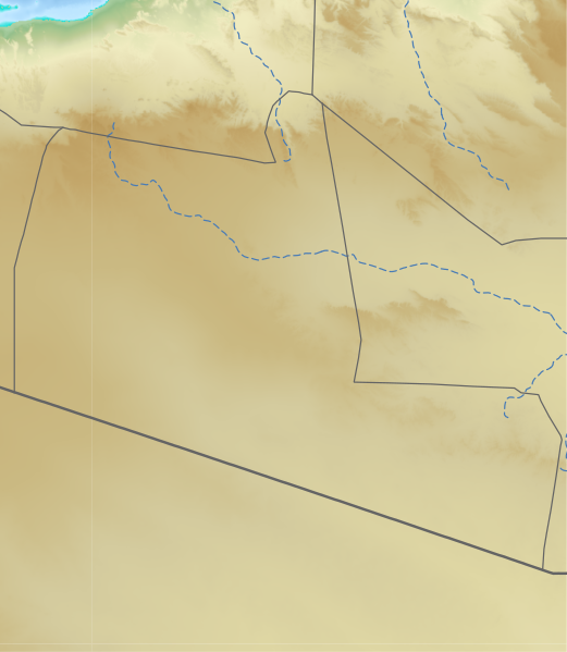
English: relief region in Somaliland/Somalia 日本語: ソマリア/ソマリランドのトゲーア地域のLocation map用地図
|
| Date | |
| Source | See below |
| Auteur | See below (Assemblied by User:Freetrashbox) |
Sources
- Global Relief: ETOPO Global Relief Model / NOAA (2022-10-04). Ice surface elevation geotiff. Retrieved on 2022-12-13. / ETOPO_2022_v1_15s_N00W030_surface.tif, ETOPO_2022_v1_15s_N15E030_surface.tif
- International border: GSHHG data version 2.3.7 / NOAA (2017-06-15). Shoreline / Coastline Resources. Retrieved on 2022-12-13. / gshhg-shp-2.3.7\WDBII_shp\h\WDBII_border_h_L1.shp
- Intermittent rivers: GSHHG data version 2.3.7 / ibid. / gshhg-shp-2.3.7\WDBII_shp\h\WDBII_river_h_L08.shp
- Regional border of Somaliland: SOMALILAND VULNERABILITY INDEX MAP / Ministry of Planning and National Development of Somaliland. SOMALILAND VULNERABILITY INDEX MAP. Retrieved on 2022-12-13.
Design
- Global Relief: Wikipedia:Graphics Lab/Resources/GIS sources and palettes
- International border: R100 G100 B100, 2pts.
- Intermittent rivers: R72 G123 B182, 1pt, dash 5 pts, blank 3pts.
- Regional border of Somaliland: R100 G100 B100, 1pt.
Notes
- The boundaries marked on this map are the borders or region boundaries around this area. Because Somaliland claims the western border of Bari region as the border between Somaliland and Somalia, there is some dispute as to whether this line is a border or a state line.
Conditions d’utilisation
Cette image est dans le domaine public car son contenu provient de la
National Oceanic and Atmospheric Administration , réalisé par un employé dans le cadre de ses activités professionnelles.
|
Historique du fichier
Cliquer sur une date et heure pour voir le fichier tel qu'il était à ce moment-là.
| Date et heure | Vignette | Dimensions | Utilisateur | Commentaire | |
|---|---|---|---|---|---|
| actuel | 24 décembre 2022 à 00:52 | | 528 × 607 (456 kio) | Freetrashbox | Uploaded a work by Assemblied by User:Freetrashbox from ETOPO Global Relief Model with UploadWizard |
Utilisation du fichier
La page suivante utilise ce fichier :
Usage global du fichier
Les autres wikis suivants utilisent ce fichier :
- Utilisation sur en.wikipedia.org
- Utilisation sur si.wikipedia.org
- Utilisation sur uz.wikipedia.org