Fichier:St Croix NASA.jpg
Taille de cet aperçu : 800 × 561 pixels. Autres résolutions : 320 × 225 pixels | 640 × 449 pixels | 1 024 × 719 pixels | 1 280 × 898 pixels | 2 560 × 1 796 pixels | 3 426 × 2 404 pixels.
Fichier d’origine (3 426 × 2 404 pixels, taille du fichier : 6,04 Mio, type MIME : image/jpeg)
Ce fichier et sa description proviennent de Wikimedia Commons.
Description
| Description |
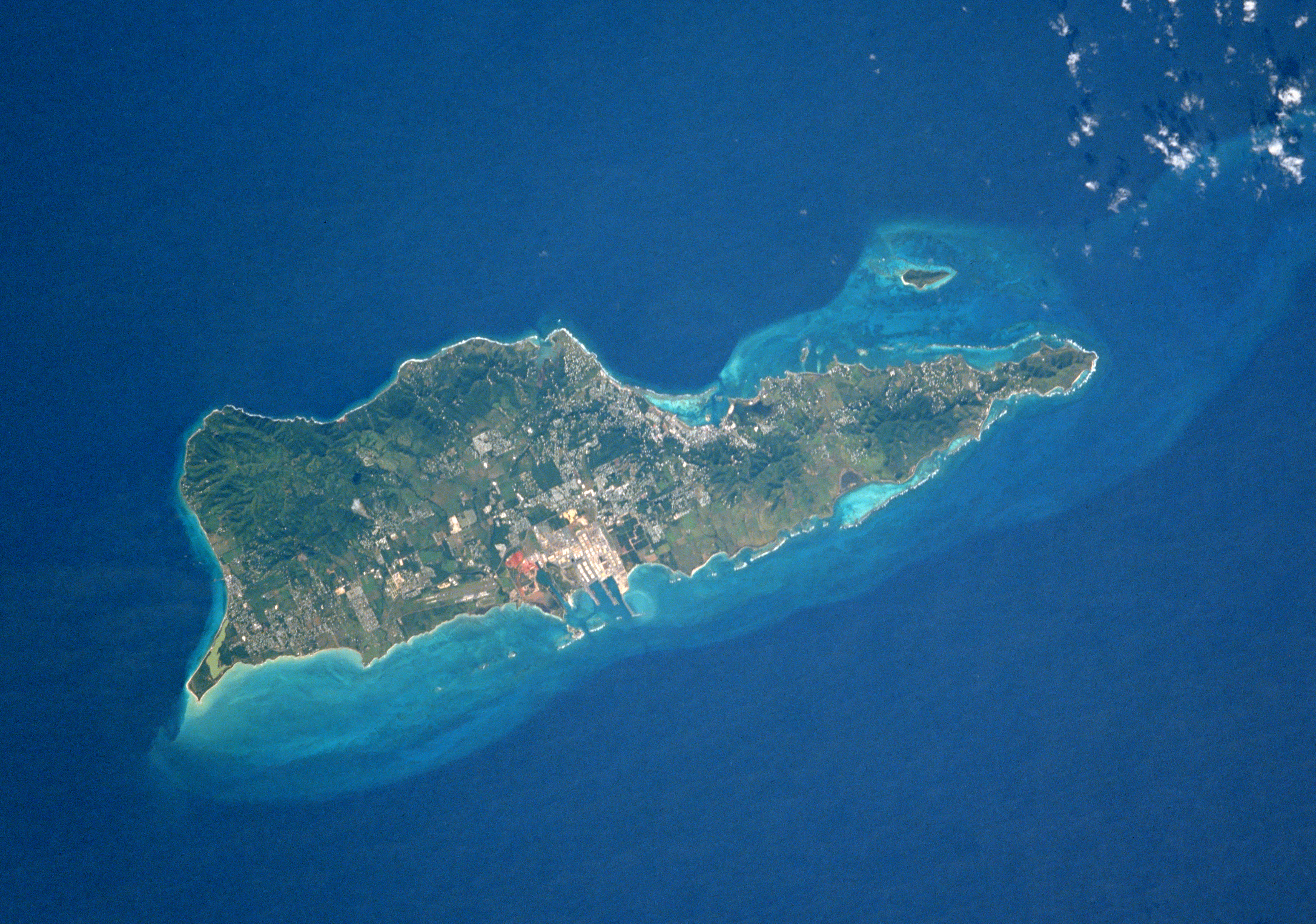
English: St. Croix, U.S. Virgin Islands, Caribbean Sea
|
| Date | Prise le 14 janvier 1993, 15:57 UTC |
| Source | https://images-assets.nasa.gov/image/sts054-74-049/sts054-74-049~medium.jpg |
| Auteur | NASA |
| Autres versions |
.jpg)
.jpg)
Cette image ou vidéo a été cataloguée par le Johnson Space Center de la National Aeronautics and Space Administration (NASA) des États-Unis sous Photo ID : STS054-74-049.Ce bandeau n’indique rien sur le statut de l’œuvre au regard du droit d'auteur. Un bandeau de droit d’auteur est requis. Voir Commons:À propos des licences pour plus d’informations. Autres langues :
|
Conditions d’utilisation
"The Gateway to Astronaut Photography of Earth". Image provenant du Laboratoire d'Analyse et d'Imagerie des Sciences, Centre Spatial Johnson de la NASA.
Source de la photo : STS054-74-049.
|
Historique du fichier
Cliquer sur une date et heure pour voir le fichier tel qu'il était à ce moment-là.
| Date et heure | Vignette | Dimensions | Utilisateur | Commentaire | |
|---|---|---|---|---|---|
| actuel | 25 décembre 2017 à 19:40 | | 3 426 × 2 404 (6,04 Mio) | Ras67 | high resolution |
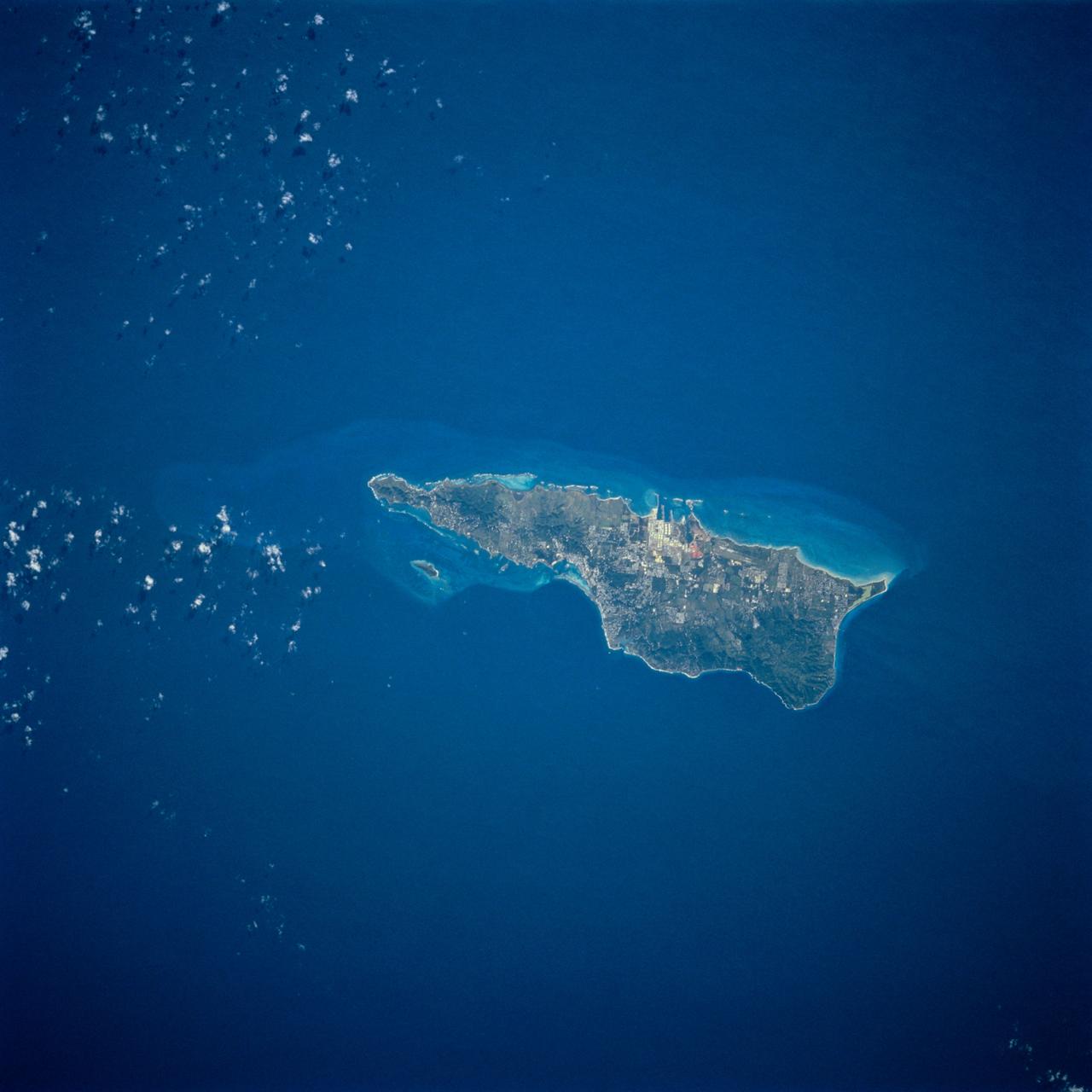
| 23 décembre 2017 à 13:13 |  | 844 × 588 (51 kio) | Zollwurf | User created page with UploadWizard |
Utilisation du fichier
La page suivante utilise ce fichier :
Usage global du fichier
Les autres wikis suivants utilisent ce fichier :
- Utilisation sur de.wikipedia.org
- Utilisation sur frr.wikipedia.org