Fichier:Soma in Fukushima Prefecture.png
Taille de cet aperçu : 800 × 563 pixels. Autres résolutions : 320 × 225 pixels | 640 × 450 pixels | 1 024 × 720 pixels | 1 281 × 901 pixels.
Fichier d’origine (1 281 × 901 pixels, taille du fichier : 52 kio, type MIME : image/png)
Ce fichier et sa description proviennent de Wikimedia Commons.
Description
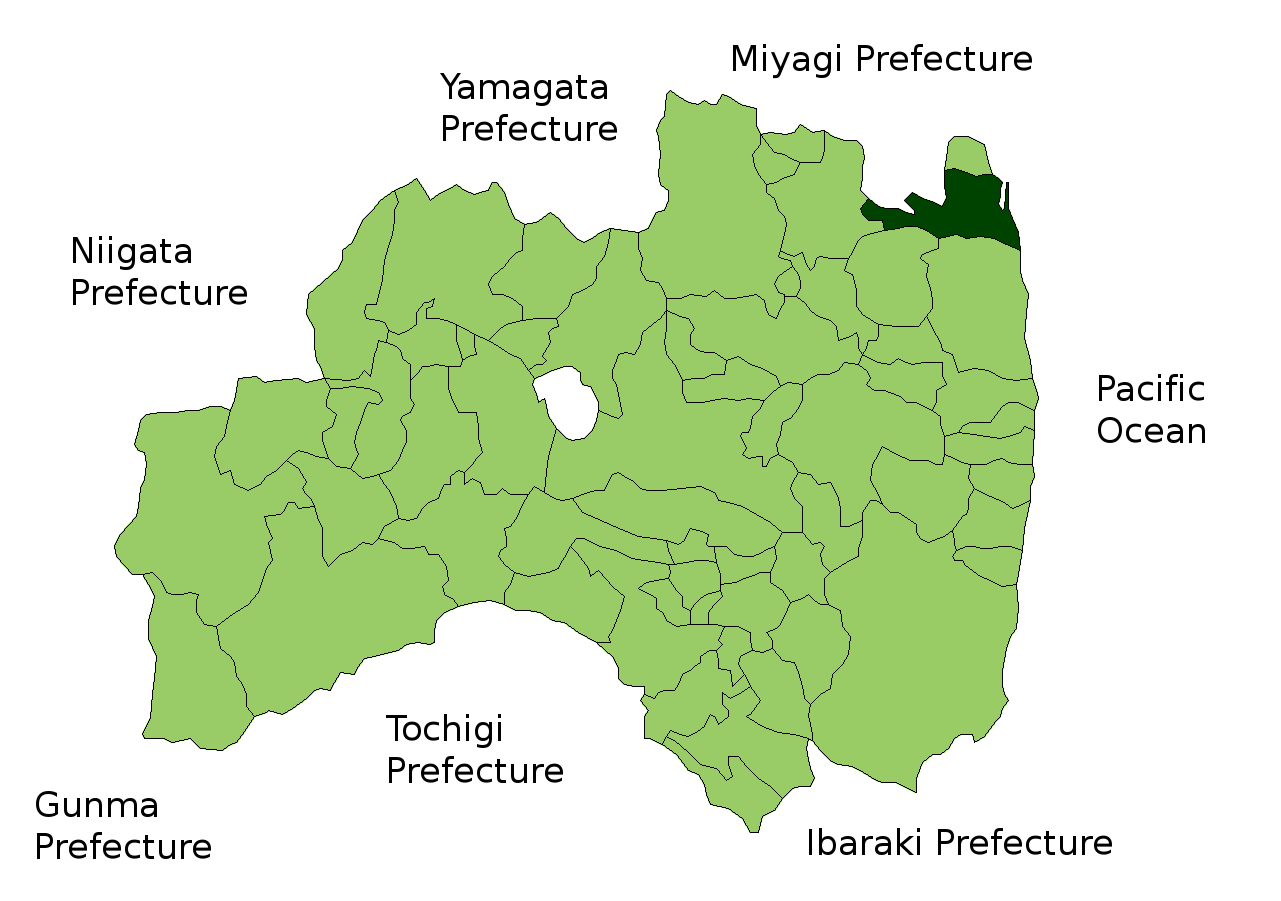
| Description | Location Map of Soma in Fukushima Prefecture, Japan |
| Date | |
| Source | Image:FukushimaMapCurrent.png and rework |
| Auteur | user:alberth2 |
Conditions d’utilisation

|
Shigenobu AOKI, détenteur des droits d'auteur sur cette œuvre autorise toute personne à l'utiliser pour tout usage y compris la redistribution sans restrictions, l'usage à titre commercial, et la modification.
|
Historique du fichier
Cliquer sur une date et heure pour voir le fichier tel qu'il était à ce moment-là.
| Date et heure | Vignette | Dimensions | Utilisateur | Commentaire | |
|---|---|---|---|---|---|
| actuel | 30 août 2007 à 08:09 | | 1 281 × 901 (52 kio) | Alberth2 | == Summary == {{Information |Description=Location Map of Soma in Fukushima Prefecture, Japan |Source=Image:FukushimaMapCurrent.png and rework |Date=Aug. 30th, 2007 |Author=user:alberth2 |Permission= |other_versions= }} == Licensing == {{Map of J |
Utilisation du fichier
Aucune page n’utilise ce fichier.