Fichier:Powys UK relief location map.jpg

Taille de cet aperçu : 424 × 600 pixels. Autres résolutions : 170 × 240 pixels | 339 × 480 pixels | 543 × 768 pixels | 724 × 1 024 pixels | 2 006 × 2 837 pixels.
Fichier d’origine (2 006 × 2 837 pixels, taille du fichier : 986 kio, type MIME : image/jpeg)
Ce fichier et sa description proviennent de Wikimedia Commons.
| Description |
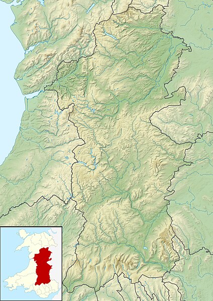
Relief map of Powys, UK. Equirectangular map projection on WGS 84 datum, with N/S stretched 165% Geographic limits:
|
| Date | |
| Source |
|
| Auteur | Nilfanion, created using Ordnance Survey data |
| Autorisation (Réutilisation de ce fichier) |
Ce fichier est disponible selon les termes de la licence Creative Commons Attribution – Partage dans les Mêmes Conditions 3.0 (non transposée). Attribution: Contains Ordnance Survey data © Crown copyright and database right
|
| Autres versions | File:Powys UK map.svg - Blank map |
Historique du fichier
Cliquer sur une date et heure pour voir le fichier tel qu'il était à ce moment-là.
| Date et heure | Vignette | Dimensions | Utilisateur | Commentaire | |
|---|---|---|---|---|---|
| actuel | 30 novembre 2011 à 03:07 | | 2 006 × 2 837 (986 kio) | Nilfanion | {{Information |Description=Relief map of Powys, UK. Equirectangular map projection on WGS 84 datum, with N/S stretched 165% Geographic limits: *West: 4.22W *East: 2.82W *North: 52.92N *South: 51.72N |Source=[[w:Ordnance Survey|Ordnance Surve |
Utilisation du fichier
La page suivante utilise ce fichier :
Usage global du fichier
Les autres wikis suivants utilisent ce fichier :
- Utilisation sur ar.wikipedia.org
- Utilisation sur ceb.wikipedia.org
- Utilisation sur de.wikipedia.org
- Utilisation sur en.wikipedia.org
- Powis Castle
- Lake Vyrnwy
- Claerwen
- Clywedog Reservoir
- Llyn Brianne
- Usk Reservoir
- Beacons Reservoir
- Llangorse Lake
- Stanage Park
- Treberfydd
- Hen Domen
- Talybont Reservoir
- Llyn y Fan Fawr
- Llyn Cwm Llwch
- Cefn Gwyntog
- Allt Lwyd
- Pontsticill Reservoir
- Red Lion Hill
- Module:Location map/data/Wales Powys/doc
- River Cain
- Cambrian Woollen Mill
- Cambrian Mills
- Old Market Hall, Llanidloes
- Module:Location map/data/Wales Powys
- Bear Hotel, Crickhowell
- Newton House (Brecon, Powys)
- Lake Vyrnwy Straining Tower
- Trefecca Fawr
- Great Porthamel Farm and Gatehouse
- Harpton Court
- Old Gwernyfed
- Utilisation sur es.wikipedia.org
Voir davantage sur l’utilisation globale de ce fichier.