Fichier:Poland NE.png
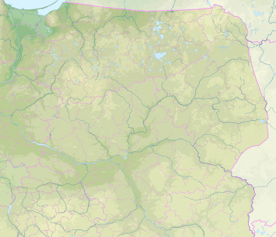
Taille de cet aperçu : 697 × 600 pixels. Autres résolutions : 279 × 240 pixels | 558 × 480 pixels | 893 × 768 pixels | 1 190 × 1 024 pixels | 2 380 × 2 048 pixels | 2 744 × 2 361 pixels.
Fichier d’origine (2 744 × 2 361 pixels, taille du fichier : 8,47 Mio, type MIME : image/png)
Ce fichier et sa description proviennent de Wikimedia Commons.
Description
| Description |
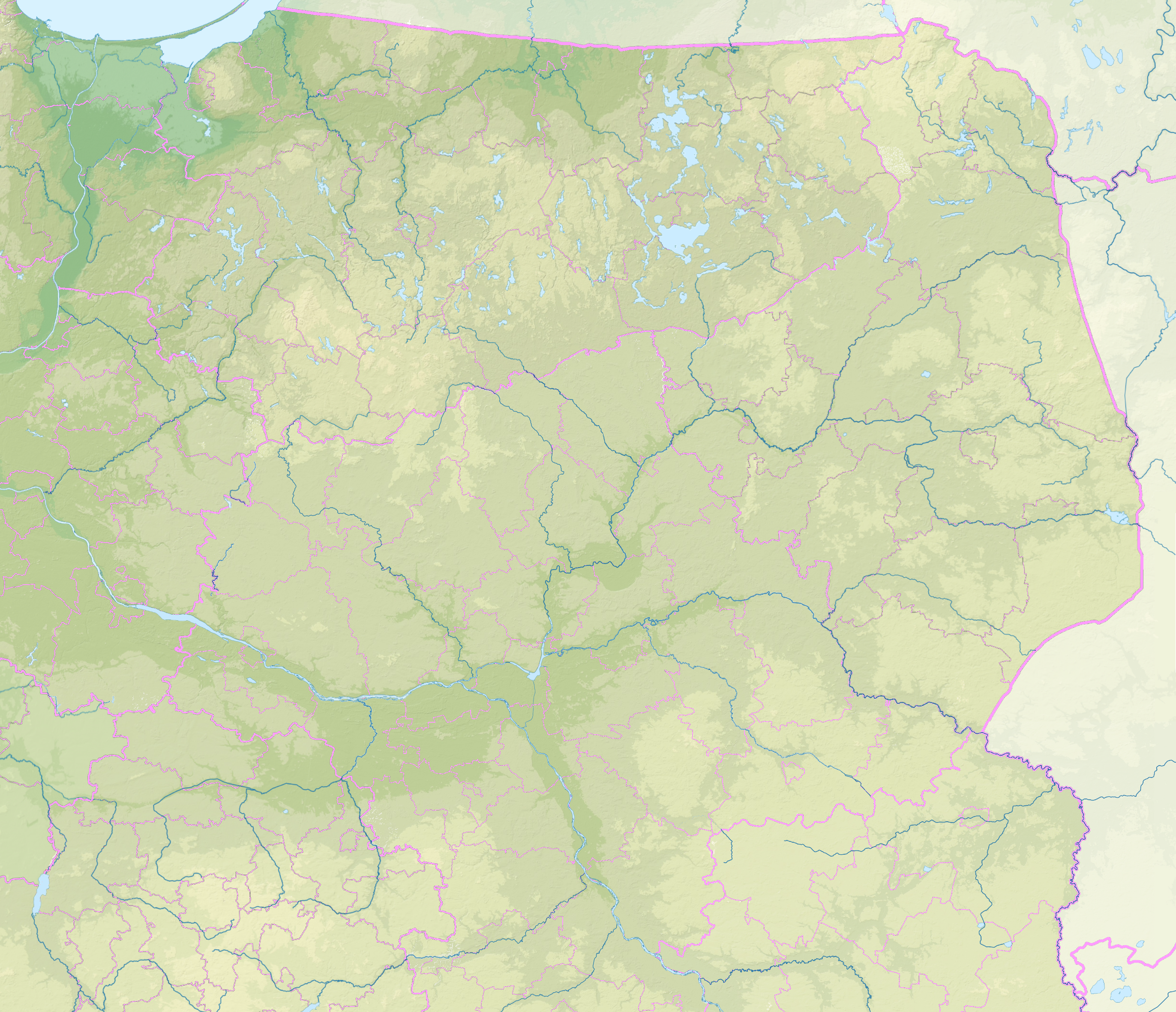
Relief location map of northeastern Poland. Extension: 51.45°N to 54.4639°N, 18.486°E to 24.095°E. |
| Date | |
| Source | File:Pomeranian Voivodeship Relief location map.svgFile:Greater Poland Voivodeship Relief location map.svg, File:Pomeranian Voivodeship Relief location map.svg, File:Kuyavian-Pomeranian Voivodeship Relief location map.svg, File:Warmian-Masurian Voivodeship Relief location map.svg, File:Masovian Voivodeship Relief location map.svg, File:Łódź Voivodeship Relief location map.svg, File:Podlaskie Voivodeship Relief location map.svg, File:Lublin Voivodeship Relief location map.svg |
| Auteur | Ulamm (d) |
Conditions d’utilisation
Moi, en tant que détenteur des droits d’auteur sur cette œuvre, je la publie sous la licence suivante :
Ce fichier est sous la licence Creative Commons Attribution – Partage dans les Mêmes Conditions 4.0 International.
- Vous êtes libre :
- de partager – de copier, distribuer et transmettre cette œuvre
- d’adapter – de modifier cette œuvre
- Sous les conditions suivantes :
- paternité – Vous devez donner les informations appropriées concernant l'auteur, fournir un lien vers la licence et indiquer si des modifications ont été faites. Vous pouvez faire cela par tout moyen raisonnable, mais en aucune façon suggérant que l’auteur vous soutient ou approuve l’utilisation que vous en faites.
- partage à l’identique – Si vous modifiez, transformez, ou vous basez sur cette œuvre, vous devez distribuer votre contribution sous la même licence ou une licence compatible avec celle de l’original.
Historique du fichier
Cliquer sur une date et heure pour voir le fichier tel qu'il était à ce moment-là.
| Date et heure | Vignette | Dimensions | Utilisateur | Commentaire | |
|---|---|---|---|---|---|
| actuel | 1 mars 2020 à 15:09 | | 2 744 × 2 361 (8,47 Mio) | Ulamm | {{Information |Description=Relief location map of northeastern Poland.<br/>Extension: 51.45°N to 54.4639°N, 18.486°E to 24.095°E. |Source=File:Pomeranian Voivodeship Relief location map.svgFile:Greater Poland Voivodeship Relief location map.svg, File:Pomeranian Voivodeship Relief location map.svg, File:Kuyavian-Pomeranian Voivodeship Relief location map.svg, File:Warmian-Masurian Voivodeship Relief location map.svg, [[:File:Masovian Voivodeship Relief location map.s... |
Utilisation du fichier
Les 2 pages suivantes utilisent ce fichier :
Usage global du fichier
Les autres wikis suivants utilisent ce fichier :
- Utilisation sur de.wikipedia.org