Fichier:Pittsburgh PA Yellow Belt shield.svg

Taille de cet aperçu PNG pour ce fichier SVG : 600 × 600 pixels. Autres résolutions : 240 × 240 pixels | 480 × 480 pixels | 768 × 768 pixels | 1 024 × 1 024 pixels | 2 048 × 2 048 pixels.
Fichier d’origine (Fichier SVG, nominalement de 600 × 600 pixels, taille : 8 kio)
Ce fichier et sa description proviennent de Wikimedia Commons.
| Description |
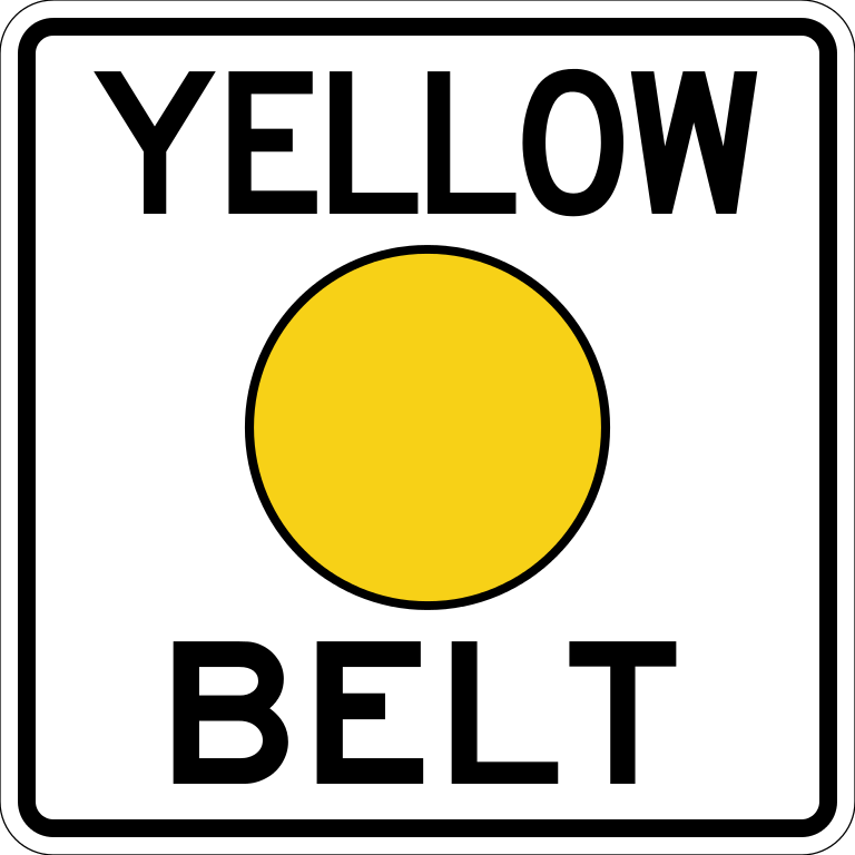
English: Shield for the Yellow Belt in Pittsburgh, Pennsylvania, a highway signed by local governments. All measurements are approximate and based on actual pictures of the shield; I have no specifications. |
||
| Date | |||
| Source | Travail personnel | ||
| Auteur | TwinsMetsFan | ||
| Autorisation (Réutilisation de ce fichier) |
|
Historique du fichier
Cliquer sur une date et heure pour voir le fichier tel qu'il était à ce moment-là.
| Date et heure | Vignette | Dimensions | Utilisateur | Commentaire | |
|---|---|---|---|---|---|
| actuel | 8 juin 2009 à 08:59 | | 600 × 600 (8 kio) | TwinsMetsFan | {{Information |Description={{en|1=Shield for the Yellow Belt in Pittsburgh, Pennsylvania, a highway signed by local governments. All measurements are approximate and based on actual pictures of the shield; I have no specific |
Utilisation du fichier
Les 2 pages suivantes utilisent ce fichier :
Usage global du fichier
Les autres wikis suivants utilisent ce fichier :
- Utilisation sur en.wikipedia.org
- Interstate 79
- Penn Hills, Pennsylvania
- Interstate 376
- Allegheny County belt system
- List of crossings of the Ohio River
- Pennsylvania Route 28
- U.S. Route 30 in Pennsylvania
- Sewickley Bridge
- Pennsylvania Route 60
- Neville Island Bridge
- McKees Rocks Bridge
- Pennsylvania Route 65
- List of crossings of the Monongahela River
- Pennsylvania Route 8
- Pennsylvania Route 51
- Pennsylvania Route 48
- U.S. Route 22 in Pennsylvania
- Pennsylvania Route 50
- Pennsylvania Route 88
- Pennsylvania Route 380
- Pennsylvania Route 885
- U.S. Route 19 Truck (Pittsburgh)
- Pennsylvania Route 910
- List of crossings of the Youghiogheny River
- Turtle Creek (Monongahela River tributary)
- Pennsylvania Route 121
- Pennsylvania Route 130
- Pennsylvania Route 148
- Pennsylvania Route 791
- U.S. Route 19 in Pennsylvania
- Former state routes in Pennsylvania
- Special routes of U.S. Route 22
- Westinghouse Interworks Railway
- Utilisation sur ja.wikipedia.org
- Utilisation sur www.wikidata.org